Line © OpenStreetMap contributors (ODbL), checked by Global Adventurer.
The hike
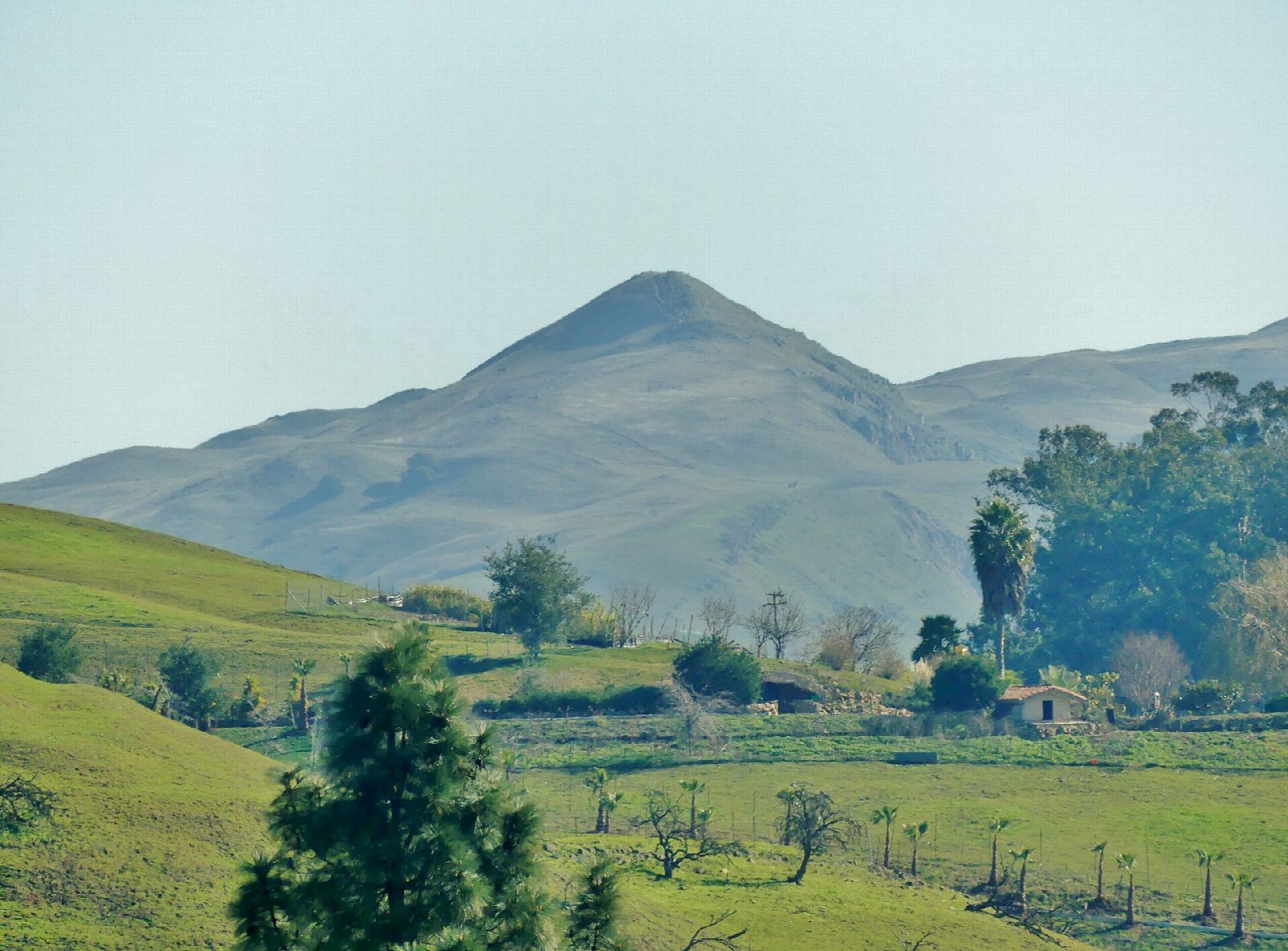
The walk starts at the Stanford Avenue Staging Area in Fremont. The Hidden Valley Trail, a wide ranch road, climbs steadily up open grassland grazed by cattle, with no shade, zigzagging up the west face of the peak. Near the top it meets the Eagle Trail, and the Peak Trail climbs the last rocky stretch along the ridge to the summit, at 2,517 feet, and its well-known pole. Return the same way.
It is 6.2 miles (10.0 km) round trip with 2,000 feet (611 m) of climbing; allow about 4½ hours. The grade is Moderate: short for a mountain, but steep nearly all the way.
There is no drinking water on the trails: the park district says to bring two liters each, and to avoid the middle of the day in summer. Keep clear of the cattle, and never walk between a cow and her calf. The weather can change suddenly.
The Stanford Avenue entrance is open only from 6:30 am to 9 pm from April 1 to December 22, and to 8 pm for the rest of the year. Walkers in the park and cars in the lot after closing are cited, and fines start at about $300. The free lot is small and very busy at weekends, when nearby streets are for residents with permits. The park district recommends starting from Ohlone College instead, where parking costs $4.
Route drawn by Global Adventurer along OpenStreetMap paths (© OpenStreetMap contributors, ODbL), with figures worked out from it. Check the forecast and the ground on the day: paths change.
Good to know
- A steep, shadeless climb to the famous post on the summit
- Heat on the open grassland is dangerous: start early with at least 2 litres of water
- The free Stanford Avenue car park is small and very busy at weekends
Summits on the way
- Mission Peak 2,497 ft (761 m)
Getting there
Start: Stanford Avenue Staging Area · Free parking. 37.50434, -121.90866
Places to stay nearby
Rooms in and around Bay Area and Big Sur: Booking.com → Expedia →
Affiliate links: if you book, Global Adventurer earns a small commission at no cost to you.
Paths change, and the weather decides the day. The line and figures come from OpenStreetMap and our own checks; take a map, check the forecast, and turn back if it isn't right.
