Line © OpenStreetMap contributors (ODbL), checked by Global Adventurer.
The hike
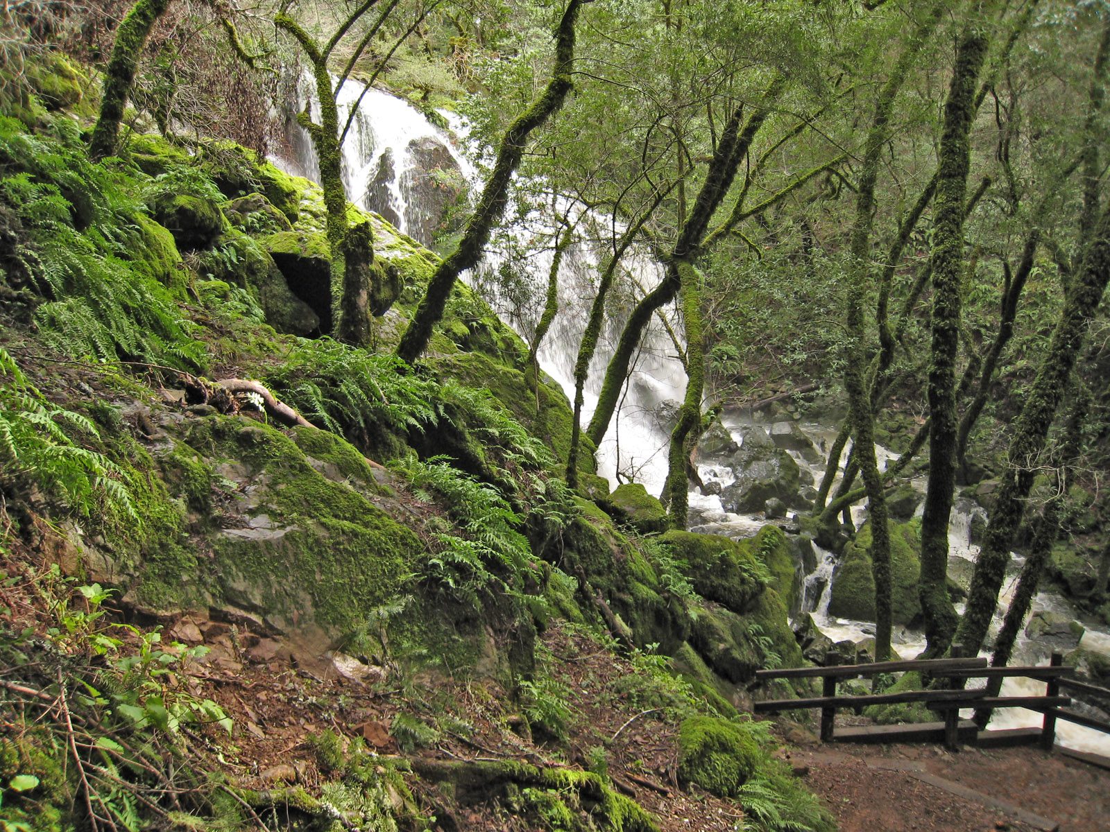
The walk starts at the Rock Spring parking lot on Ridgecrest Boulevard, high on Mount Tamalpais. The Cataract Trail heads down a quiet wooded valley beside the creek, past the Benstein Trail and Mickey O'Brien Trail junctions, to the Laurel Dell picnic area, just over a mile in. Below Laurel Dell the creek tips over the edge of the mountain, and the trail drops steeply beside it on steps, past one fall after another, on its way to Alpine Lake. This route turns round at the main fall, about a mile below Laurel Dell. Return the same way.
It is 4.8 miles (7.8 km) round trip with 880 feet (269 m) of climbing; allow about 2½ hours. The grade is Easy on time alone, but every foot of the climb comes on the way back, much of it on steps.
The falls are fed by rain. They are at their best in winter and spring and shrink to a trickle by late summer. The steps and bridges are slippery when wet. The trail is on the Mount Tamalpais Watershed, which is open from 7 am to sunset. Dogs must be on a leash.
When a Red Flag Warning is in force for fire weather, the watershed is closed to vehicles.
Route drawn by Global Adventurer along OpenStreetMap paths (© OpenStreetMap contributors, ODbL), with figures worked out from it. Check the forecast and the ground on the day: paths change.
Good to know
- A chain of cascades dropping through a fern-lined canyon towards Alpine Lake
- Best after winter rain; by late summer the falls shrink to a trickle
- From Rock Spring the trail goes down first, so the climbing comes on the way back
Getting there
Start: Rock Spring. 37.91089, -122.61253
Places to stay nearby
Rooms in and around Bay Area and Big Sur: Booking.com → Expedia →
Affiliate links: if you book, Global Adventurer earns a small commission at no cost to you.
Paths change, and the weather decides the day. The line and figures come from OpenStreetMap and our own checks; take a map, check the forecast, and turn back if it isn't right.

