Line © OpenStreetMap contributors (ODbL), checked by Global Adventurer.
The walk
The walk starts at Bodenmais station, the end of the branch line from Zwiesel, and leaves the town by the Rißloch path. It climbs beside the Rißloch falls, which drop 55 m in five steps through a wooded ravine, then through forest to the Arberhütten-Schachten, an old high pasture, and up by the Bodenmaiser Mulde to the summit of the Großer Arber at 1,456 m. The way down goes south over the rocky top of the Mittagsplatzl and the Hochzell to Bodenmais.
It is 17.3 km with 850 m of ascent; allow about 6¾ hours. The grade is Hard: a long day with a big climb, on forest paths that are rooty and stony, with steep steps below the summit.
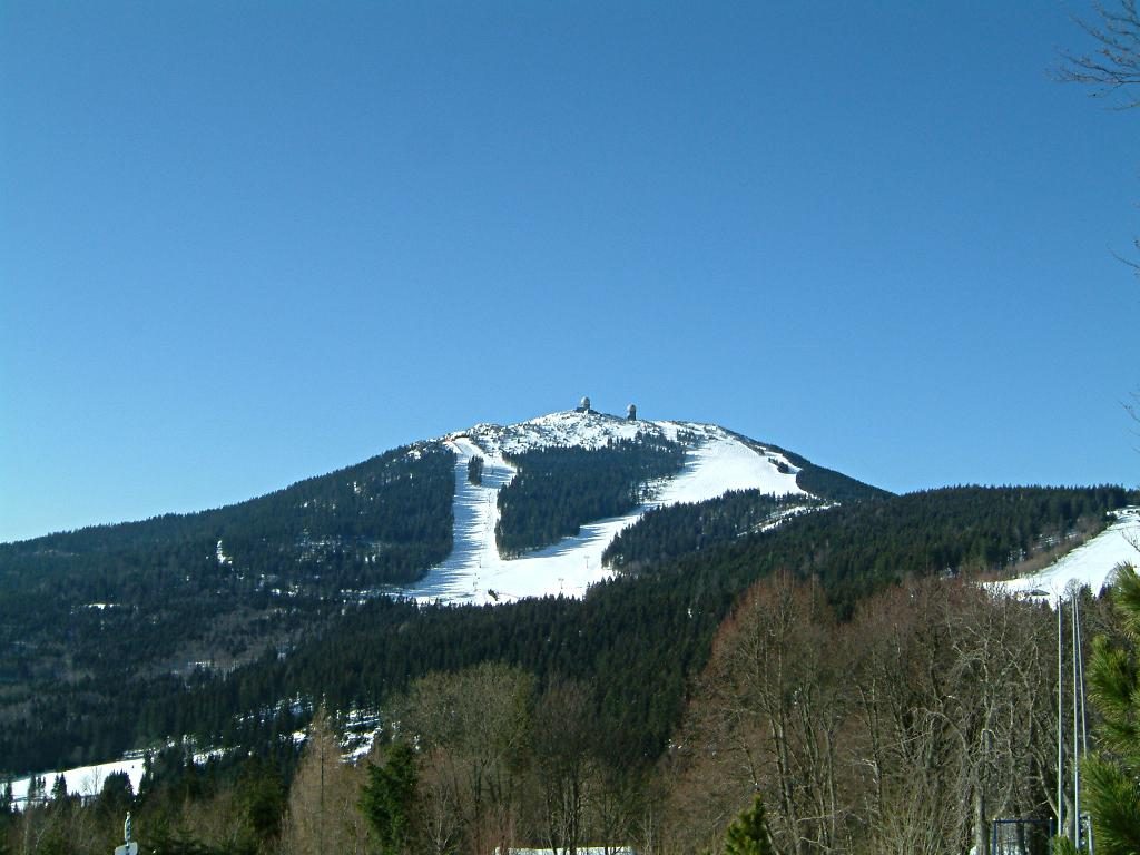
The Arber is the highest summit of the Bavarian Forest, with bare tops above the trees and a view over the forest into Bohemia and, on clear days, to the Alps. The path by the falls needs sure feet when wet, and the ravine is a nature reserve.
The Arber lies outside the national park, and there is nothing to pay. Snow lies on the summit from November into April, and then this is a winter route. There is an inn near the top, and a gondola on the far side.
Route drawn by Global Adventurer along OpenStreetMap paths (© OpenStreetMap contributors, ODbL), with figures worked out from it. Check the forecast and the ground on the day: paths change.
Good to know
- The Großer Arber, 1,456 m, is the highest summit of the Bavarian Forest
- The Rißloch falls drop 55 m in five steps through a wooded ravine, a nature reserve since 1939
- A Schachten is an old high pasture, now a clearing in the forest
- The Waldbahn from Zwiesel ends at Bodenmais
Summits on the way
- Großer Arber 1,456 m
- Hochzellberg 1,208 m · passed close by
Getting there
Start: Bodenmais station · Free parking. 49.07001, 13.10120
By train: Bodenmais station is 0.1 km from the start.
Places to stay nearby
Rooms in and around Bodenmais: Booking.com → Expedia →
Affiliate links: if you book, Global Adventurer earns a small commission at no cost to you.
Paths change, and the weather decides the day. The line and figures come from OpenStreetMap and our own checks; take a map, check the forecast, and turn back if it isn't right.