Line © OpenStreetMap contributors (ODbL), checked by Global Adventurer.
The walk
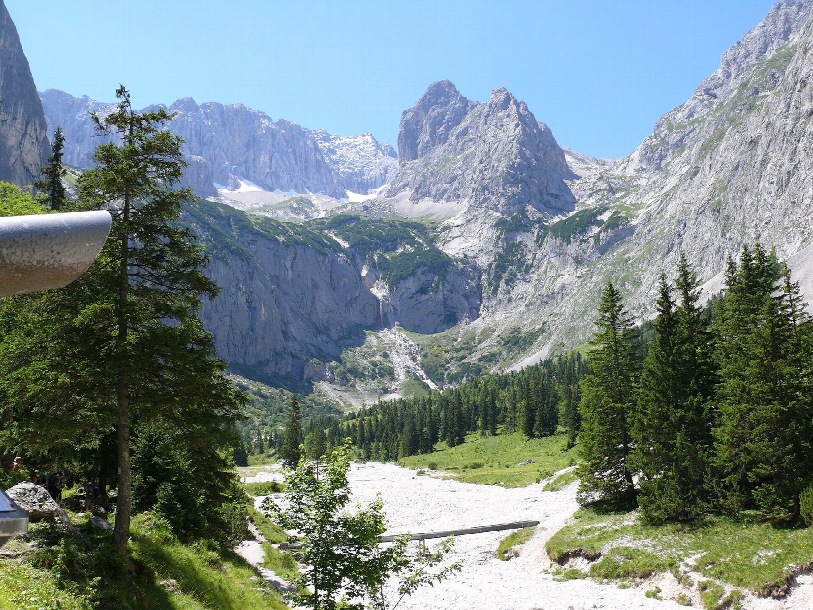
The walk starts from the pay car park in Hammersbach, by the halt of the Zugspitze rack railway. A forest path climbs beside the Hammersbach to the Höllentaleingangshütte, the hut at the foot of the gorge, where you pay. Beyond it the path runs for about a kilometre through the gorge itself, in lit tunnels, over bridges and up rock steps, with the stream thundering below. Above the gorge the valley opens and a good path leads on to the Höllentalangerhütte, at 1,387 m under the walls of the Zugspitze. Return the same way.
It is 11.6 km there and back with 642 m of ascent; allow about 5 hours. The grade is Moderate. The path is rocky and wet, and steep in the forest below the gorge.
The gorge is open only from about mid-May to mid-October: in 2026 from 14 May to 20 October. In winter the bridges are taken out and entry is forbidden. Entry cost €7 in 2026, half for Alpine Club members. It is cold and dripping inside even in summer, so take a waterproof and boots with a good grip.
Snow can lie above the gorge into June. The hut serves food in season; in 2026 its last night was 3 October.
Route drawn by Global Adventurer along OpenStreetMap paths (© OpenStreetMap contributors, ODbL), with figures worked out from it. Check the forecast and the ground on the day: paths change.
Good to know
- The gorge is about a kilometre of tunnels, bridges and rock steps beside the Hammersbach; there is an entrance fee at the hut at its foot
- The gorge is open only from about mid-May to mid-October: the bridges are taken out for the winter
- The Höllentalangerhütte stands at 1,387 m below the north face of the Zugspitze
- The Zugspitze rack railway stops at Hammersbach
Getting there
Start: Hammersbach walkers' car park · Pay and display. 47.46863, 11.04026
Places to stay nearby
Rooms in and around Bavarian Alps: Booking.com → Expedia →
Affiliate links: if you book, Global Adventurer earns a small commission at no cost to you.
Paths change, and the weather decides the day. The line and figures come from OpenStreetMap and our own checks; take a map, check the forecast, and turn back if it isn't right.