Line © OpenStreetMap contributors (ODbL), checked by Global Adventurer.
The walk
The walk starts from the pay car park beside the Eibsee-Hotel, at the end of the road from Grainau; the Eibsee station of the Zugspitze rack railway from Garmisch-Partenkirchen is 50 m away. It goes anticlockwise: north from the hotel into the wood, along the north shore past the footbridge over the narrows to the little Untersee, round the quiet west end and back along the south shore with its gravel beaches.
It is 7.3 km with 114 m of ascent; allow about 2 hours. The grade is Easy: a broad, well-made path that never leaves the shore for long, with a few short rises.
The Eibsee lies at 973 m at the foot of the Zugspitze, whose summit is nearly 2,000 m above the water. A great rockslide some 3,500 years ago filled part of the lake and left its eight small islands; the north shore gives the best view across them to the mountain.
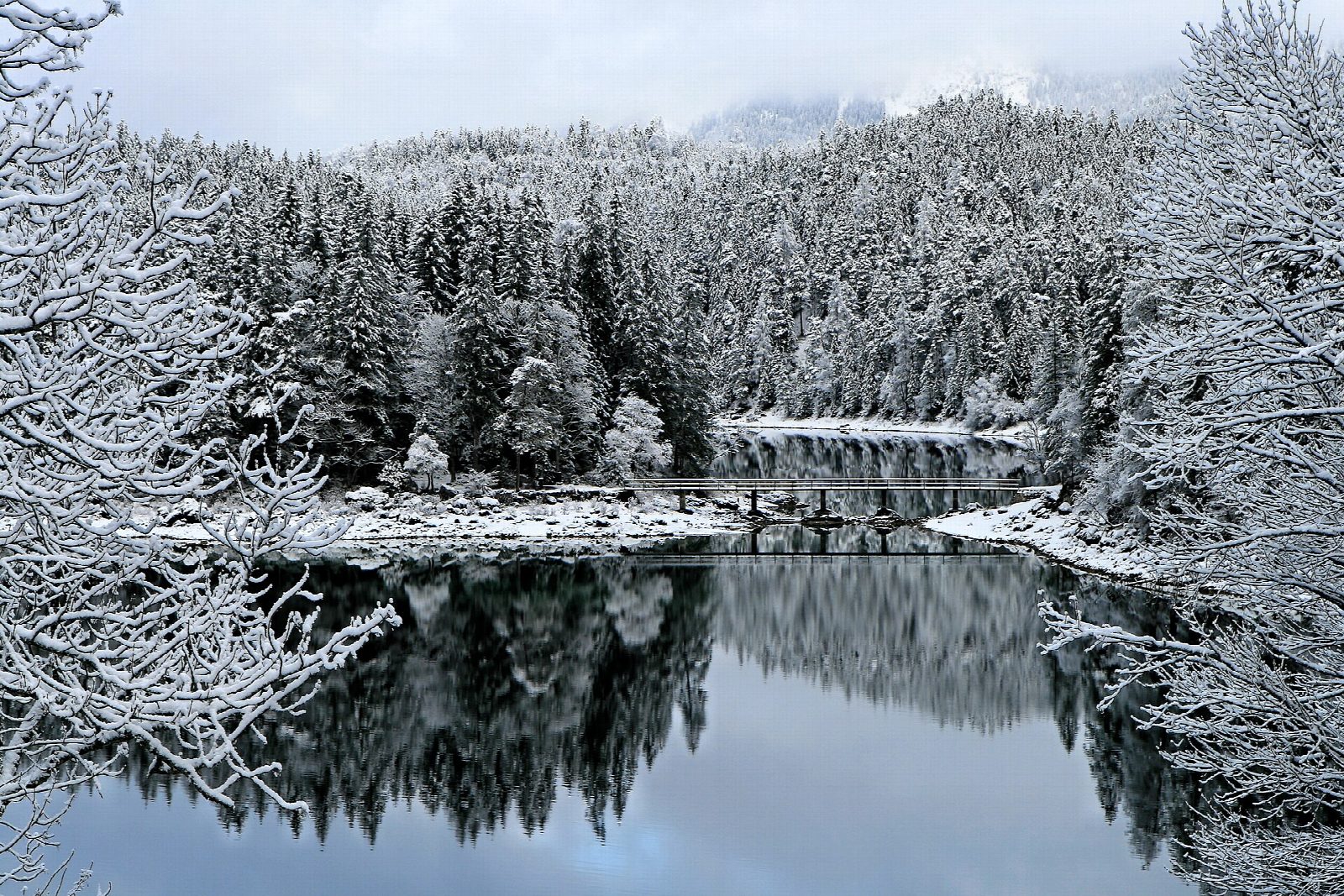
There is no charge for the lake, but the car park cost €10 for up to four hours in 2026, and the road is often closed on fine days once it is full: come early, or by train. The path is open all year. In winter expect snow and ice underfoot.
Route drawn by Global Adventurer along OpenStreetMap paths (© OpenStreetMap contributors, ODbL), with figures worked out from it. Check the forecast and the ground on the day: paths change.
Good to know
- A lake at 973 m at the foot of the Zugspitze, with eight small islands left by a great rockslide
- The path stays close to the shore all the way round; the north shore looks across the islands to the Zugspitze
- The car park is charged and fills early on fine days; the Zugspitze rack railway stops at Eibsee
Getting there
Start: Eibsee car park · Pay and display. 47.45651, 10.99325
By train: Eibsee station is 0.0 km from the start.
Places to stay nearby
Rooms in and around Eibsee: Booking.com → Expedia →
Affiliate links: if you book, Global Adventurer earns a small commission at no cost to you.
Paths change, and the weather decides the day. The line and figures come from OpenStreetMap and our own checks; take a map, check the forecast, and turn back if it isn't right.
