Line © OpenStreetMap contributors (ODbL), checked by Global Adventurer.
The walk
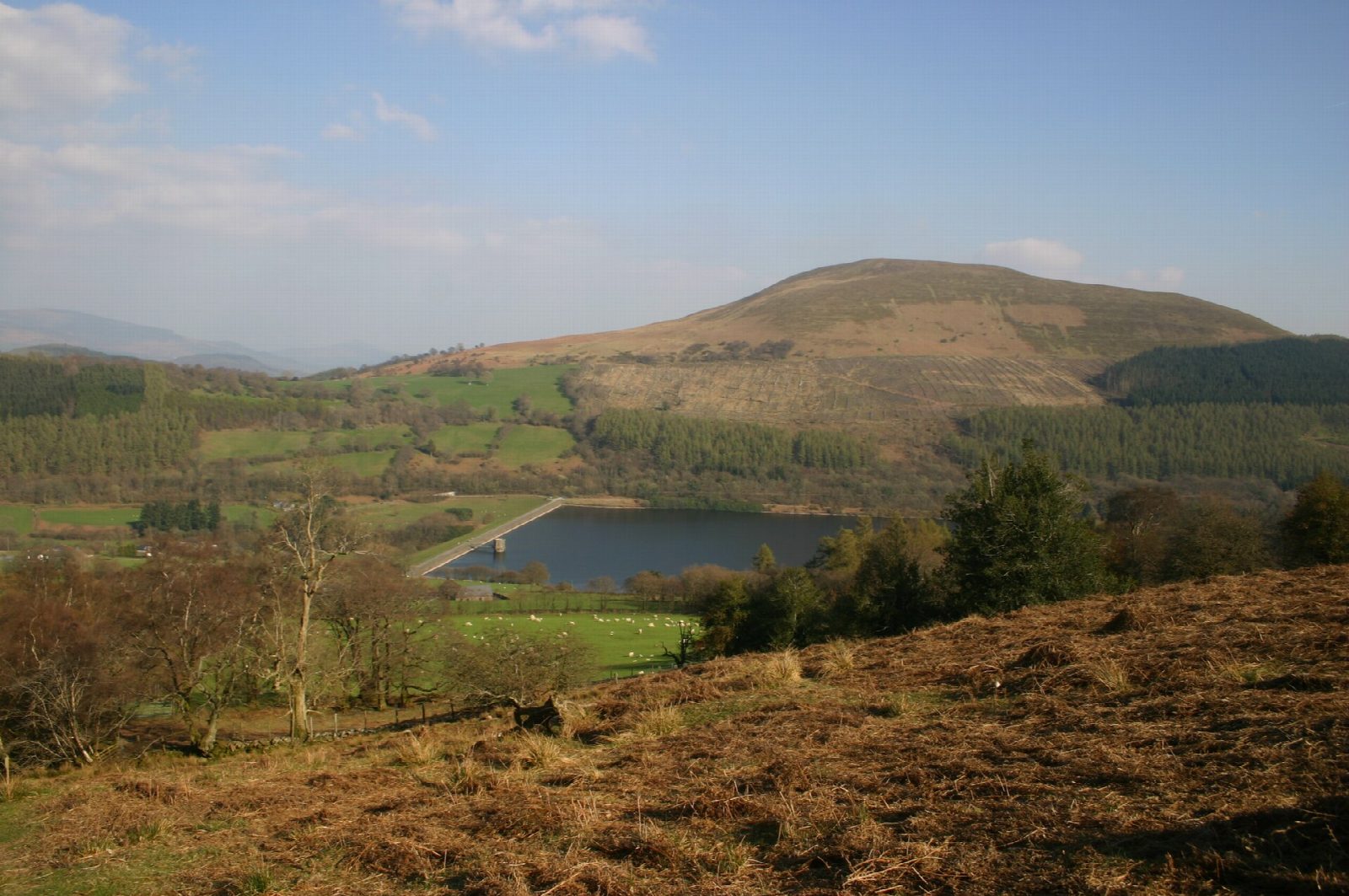
The walk starts from the car park by the canal in Talybont-on-Usk. It heads south along the valley side above the Caerfanell to join the Brinore Tramroad, a horse-worked line of 1815 that climbs steadily along the hillside above Talybont Reservoir; some of its stone sleepers survive. Where the tramroad meets the mountain road, a path strikes up the north-west ridge of Tor y Foel to the cairn on the summit, 551 m. The way down is by the north ridge, then east across the hillside by paths and a lane to the Monmouthshire and Brecon Canal. The towpath leads north-west for about 4 km back to Talybont.
It is 10.7 km with 437 m of ascent; allow about 3¾ hours. The grade is Moderate.
The climb from the road to the top is short and steep, on grass. The upper slopes are open hill, with sheep; the lower paths cross farmland. The towpath is flat, with limited headroom under the bridges.
Talybont has pubs, a shop and toilets at Henderson Hall. The 43 bus between Brecon and Abergavenny runs beside the canal.
Route drawn by Global Adventurer along OpenStreetMap paths (© OpenStreetMap contributors, ODbL), with figures worked out from it. Check the forecast and the ground on the day: paths change.
Good to know
- Tor y Foel, 551 m, has old roofing-stone quarries near the top
- The Brinore Tramroad, a horse-worked plateway, opened in 1815 and closed in 1865
- Back along the Monmouthshire and Brecon Canal, 35 miles long from Brecon to Pontymoile
- Talybont was the home of the poet Henry Vaughan
Summits on the way
- Tor y Foel 551 m
Getting there
Start: Talybont-on-Usk. 51.89728, -3.29092
Places to stay nearby
Rooms in and around Ebbw Vale Town: Booking.com → Expedia →
Affiliate links: if you book, Global Adventurer earns a small commission at no cost to you.
Paths change, and the weather decides the day. The line and figures come from OpenStreetMap and our own checks; take a map, check the forecast, and turn back if it isn't right.