Line © OpenStreetMap contributors (ODbL), checked by Global Adventurer.
The walk
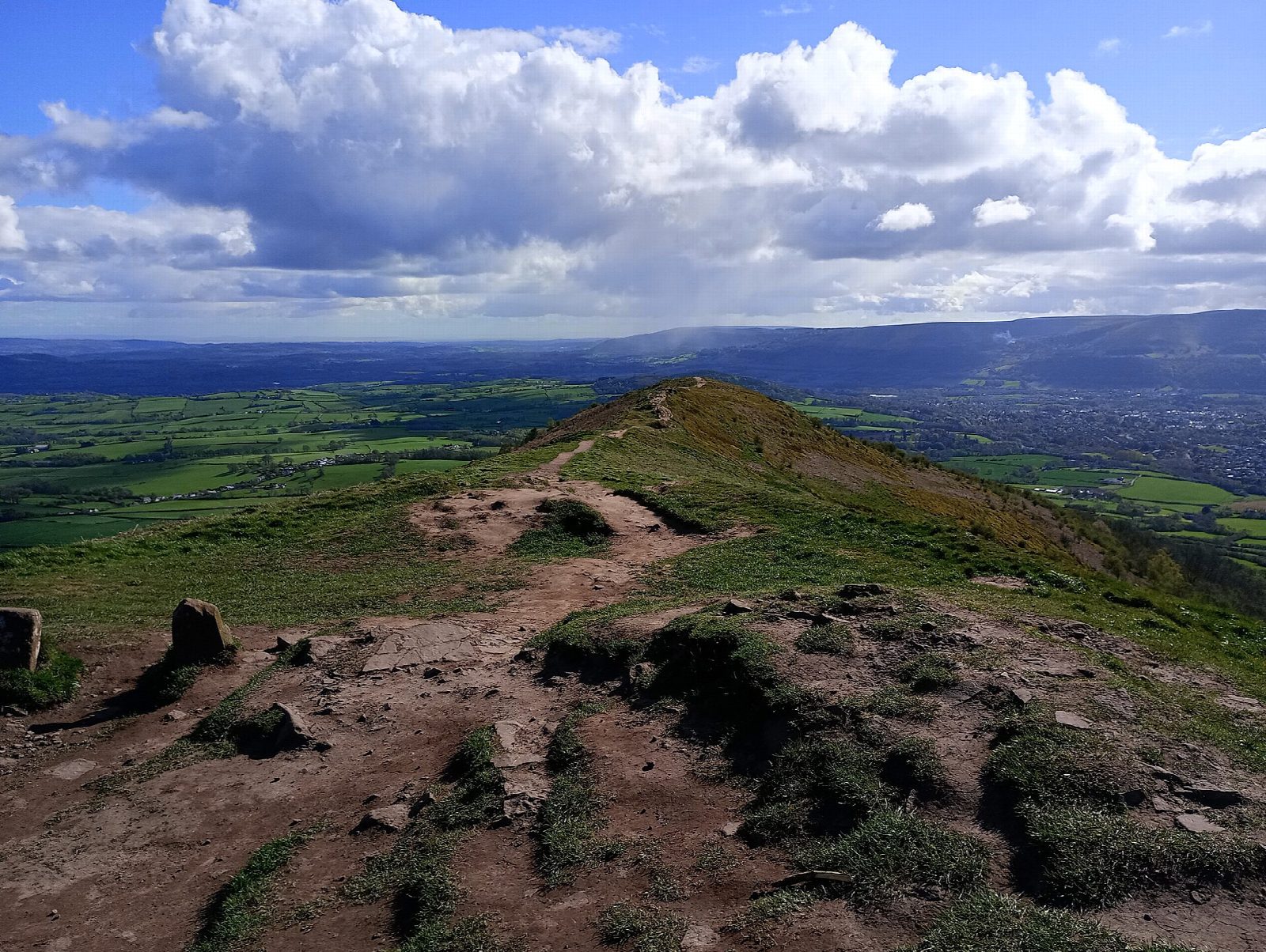
The walk starts from the car park on the B4521 and goes out and back to Ysgyryd Fawr (486 m), the Holy Mountain, a short, steep hill with a long airy ridge and views into England. Its western landslip was said to have split at the Crucifixion. The path climbs through the lower slopes, heads north along the hill and makes a final steep climb to the summit trig point, with the ruins of St Michael's chapel just below. It is on path nearly all the way, with a little track.
It is 5.2 km with 344 m of ascent; allow about 2½ hours. The grade is Easy: it is short and the paths are clear, but the climbs at the start and to the summit are steep.
The top is open and catches the wind, so choose a calm, clear day for the views, and take care on the steep slopes.
The Skirrid car park on the B4521 charges a fee. Abergavenny station is about 3.5 km away in a straight line. There are no mapped water sources on the route.
Route drawn by Global Adventurer along OpenStreetMap paths (© OpenStreetMap contributors, ODbL), with figures worked out from it. Check the forecast and the ground on the day: paths change.
Good to know
- The Holy Mountain: its western landslip was said to have split at the Crucifixion
- The ruins of St Michael's chapel lie just below the summit trig point
- A short, steep hill with a long airy ridge and views into England
Summits on the way
- Ysgyryd Fawr 486 m
Getting there
Start: Skirrid car park, B4521 · Pay and display. 51.84240, -2.97527
Places to stay nearby
Rooms in and around Skirrid car park: Booking.com → Expedia →
Affiliate links: if you book, Global Adventurer earns a small commission at no cost to you.
Paths change, and the weather decides the day. The line and figures come from OpenStreetMap and our own checks; take a map, check the forecast, and turn back if it isn't right.


