Line © OpenStreetMap contributors (ODbL), checked by Global Adventurer.
The walk
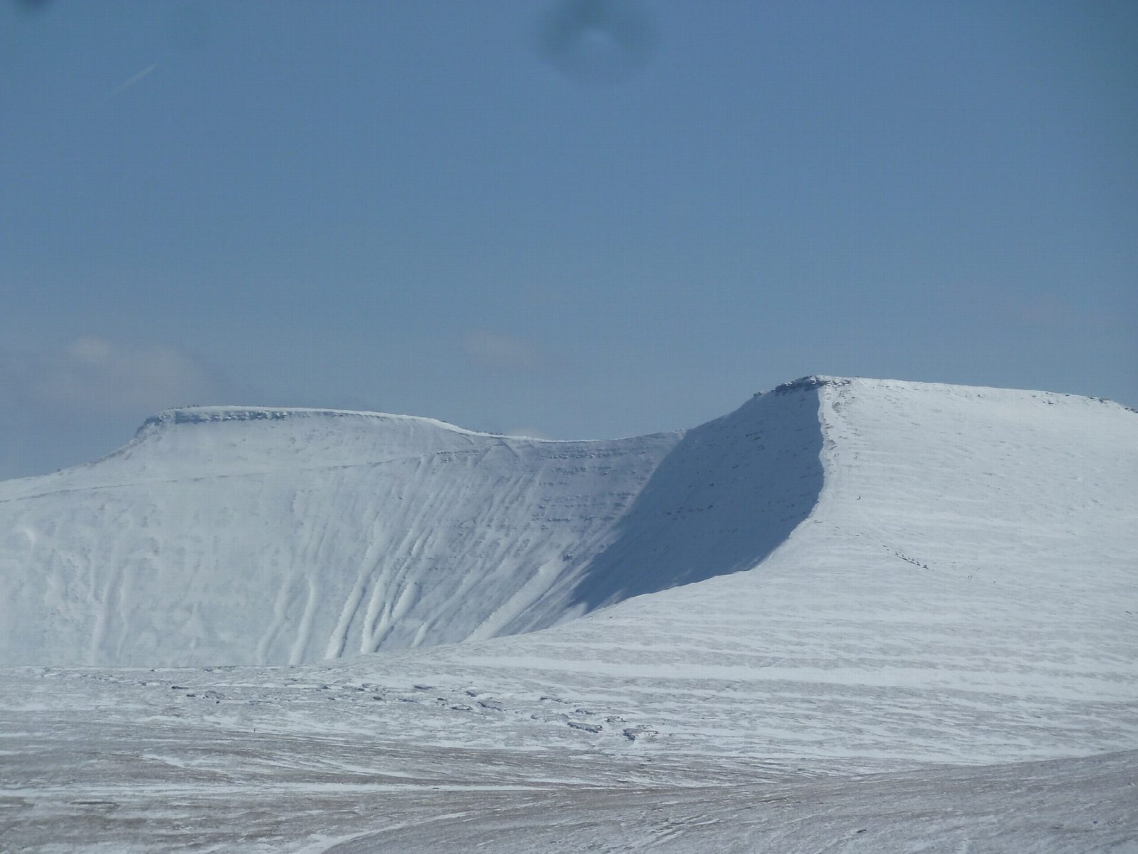
The walk makes a circuit from the Pont ar Daf car park on the A470 in Bannau Brycheiniog (the Brecon Beacons). A broad made path climbs to Corn Du (872 m) and on to Pen y Fan (886 m), the highest mountain in southern Britain. Both summits carry Bronze Age burial cairns. The return is by the path that bypasses Corn Du, then back down the way you came up.
It is 6.6 km with 476 m of ascent; allow about 3½ hours. The grade is Moderate: the path is wide and clear throughout, but it is a steady climb to open mountain tops, and the ground near the summits is steep and stony.
The tops are exposed to wind and cloud can come down quickly, so carry a map and compass, check the mountain forecast and be ready to turn back. In winter the path and summits can be icy or under snow and need winter kit and experience.
The car park charges a fee. There are no mapped water sources on the route.
Route drawn by Global Adventurer along OpenStreetMap paths (© OpenStreetMap contributors, ODbL), with figures worked out from it. Check the forecast and the ground on the day: paths change.
Good to know
- The highest mountain in southern Britain, 886 m
- The most popular way up, on a broad made path from the A470
- Both summits carry Bronze Age burial cairns
- Back by the path that bypasses Corn Du
Summits on the way
- Corn Du 872 m
- Pen y Fan 886 m
Getting there
Start: Pont ar Daf · Pay and display. 51.86913, -3.47281
Places to stay nearby
Rooms in and around Merthyr Tydfil: Booking.com → Expedia →
Affiliate links: if you book, Global Adventurer earns a small commission at no cost to you.
Paths change, and the weather decides the day. The line and figures come from OpenStreetMap and our own checks; take a map, check the forecast, and turn back if it isn't right.


