Line © OpenStreetMap contributors (ODbL), checked by Global Adventurer.
The walk
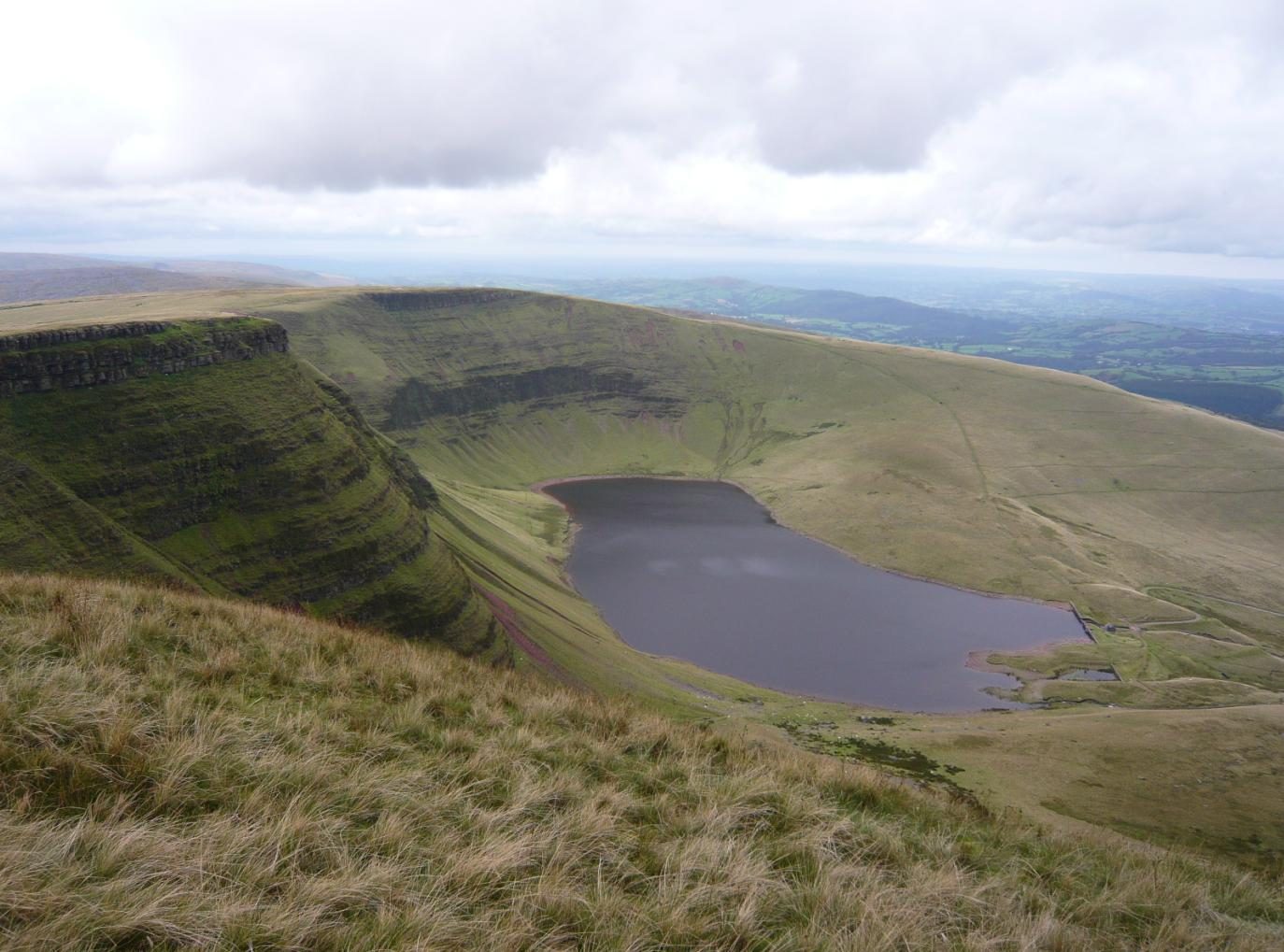
The walk starts from the car park at the end of the road from Llanddeusant. A track climbs beside the stream, past the old filter beds, to the dam of Llyn y Fan Fach. From the dam a path climbs the slope west of the lake onto the edge above it, and follows the rim of the escarpment over Waun Lefrith and along Bannau Sir Gaer, the Carmarthen Fans, to Picws Du at 749 m, with the lake straight below. Beyond the summit the path drops to a col, and a path turns down left off the ridge and back across the moor to the track below the dam.
It is 8.2 km with 495 m of ascent; allow about 3¾ hours. The grade is Moderate.
The edge is unfenced, with steep slopes and crags below: keep back from it in strong wind. In mist the moor has confusing sheep tracks and a compass bearing may be needed. There is a rescue shelter by the dam. Dogs must be on a short lead on the open hill from 1 March to 31 July, and near sheep at any time.
The car park is free but small, and fills quickly; it is reached by a single-track road. There is no public transport.
Route drawn by Global Adventurer along OpenStreetMap paths (© OpenStreetMap contributors, ODbL), with figures worked out from it. Check the forecast and the ground on the day: paths change.
Good to know
- The lake of the Lady of the Lake, whose sons became the Physicians of Myddfai
- Bannau Sir Gaer, the Carmarthen Fans: a scarp of Old Red Sandstone above a glacial lake
- Picws Du, 749 m, carries a large Bronze Age burial mound
- The dam was begun in 1914 to supply Llanelli and finished in 1919
Summits on the way
- Waun Lefrith 676 m
- Bannau Sir Gaer - Picws Du 749 m
Getting there
Start: Llyn y Fan Fach car park · Free parking. 51.89980, -3.74560
Places to stay nearby
Rooms in and around Llangadog: Booking.com → Expedia →
Affiliate links: if you book, Global Adventurer earns a small commission at no cost to you.
Paths change, and the weather decides the day. The line and figures come from OpenStreetMap and our own checks; take a map, check the forecast, and turn back if it isn't right.

