Line © OpenStreetMap contributors (ODbL), checked by Global Adventurer.
The walk
The walk starts from the car park at Llanthony Priory in the Vale of Ewyas. A path leaves the priory to the north and climbs steadily up the valley side to the Hatterrall ridge, reached at about 600 m. Turn right along the broad crest on the Offa's Dyke Path, which here follows the border between Wales and England, and walk south-east for about 2 km over heather moor. A path then turns down to the right and drops steeply off the ridge, through bracken and fields, back to the priory.
It is 6.5 km with 364 m of ascent; allow about 2¾ hours. The grade is Easy by time, but the climb to the ridge and the descent are steep.
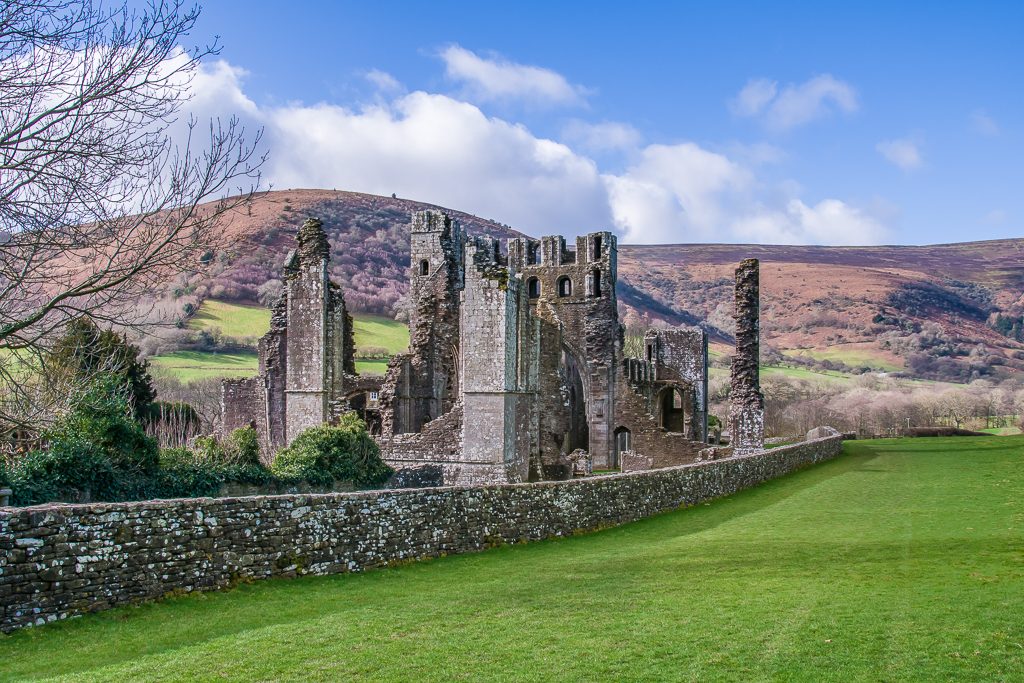
The ridge is broad and without landmarks, and hard to navigate in mist: take a map and compass. It is exposed to the weather. Sheep and ponies graze the hill, so keep dogs on a lead. The priory, a house of Augustinian canons suppressed in 1539, is free to visit and open daily from 10am to 4pm.
Parking at the priory is free, with about 30 spaces and toilets; there is a pub in the ruins. There is no useful public transport up the valley.
Route drawn by Global Adventurer along OpenStreetMap paths (© OpenStreetMap contributors, ODbL), with figures worked out from it. Check the forecast and the ground on the day: paths change.
Good to know
- A priory of Augustinian canons, founded by 1118 and suppressed in 1539
- The Hatterrall ridge carries the Offa's Dyke Path along the border of Wales and England
- The ridge is reached at about 600 m
- Red grouse live in the heather on the ridge
Getting there
Start: Llanthony Priory car park · Free parking. 51.94444, -3.03569
Places to stay nearby
Rooms in and around Abergavenny: Booking.com → Expedia →
Affiliate links: if you book, Global Adventurer earns a small commission at no cost to you.
Paths change, and the weather decides the day. The line and figures come from OpenStreetMap and our own checks; take a map, check the forecast, and turn back if it isn't right.