Line © OpenStreetMap contributors (ODbL), checked by Global Adventurer.
The walk
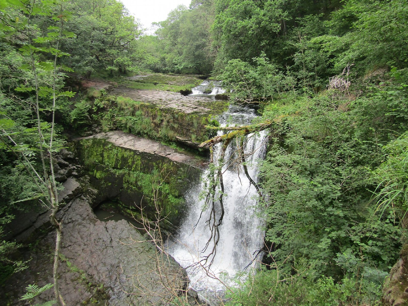
The walk starts from the Gwaun Hepste car park. A forest track leads south for about 2 km to the waymarked Four Falls Trail, a loop marked with red arrows above the gorges of the Mellte and the Hepste. Link paths, marked with green arrows, drop from it to each fall in turn: the viewpoint over Sgwd Clun-gwyn; then down to the river for Sgwd Isaf Clun-gwyn and Sgwd y Pannwr; and last a long flight of steps to Sgwd yr Eira on the Hepste, where the path runs behind the curtain of water. Each link path is climbed again to the main trail, which returns through the forest to the car park.
It is 8.0 km with 263 m of ascent; allow about 2¾ hours. The grade is Easy by time; Natural Resources Wales grades the trail Strenuous for the steps.
The main trail is wide and surfaced. The link paths are narrow, steep, unsurfaced and often slippery, with many steps. Do not swim, jump or wade: the pools are deep and cold with strong currents, and people have died here. Until 7 October 2026 the last part of the path to the Sgwd Isaf Clun-gwyn viewpoint is closed for repairs.
Parking is £6, card only, and the car park has no toilets; they are at Cwm Porth. It fills early on fine days.
Route drawn by Global Adventurer along OpenStreetMap paths (© OpenStreetMap contributors, ODbL), with figures worked out from it. Check the forecast and the ground on the day: paths change.
Good to know
- Four waterfalls on the Mellte and the Hepste: Sgwd Clun-gwyn, Sgwd Isaf Clun-gwyn, Sgwd y Pannwr and Sgwd yr Eira
- Sgwd yr Eira means the fall of snow; a public footpath runs behind the curtain of water
- The main trail is marked with red arrows; the link paths down to each fall with green
- More than 300,000 people a year visit Waterfall Country
Getting there
Start: Gwaun Hepste car park · Pay and display. 51.80000, -3.54498
Places to stay nearby
Rooms in and around Aberdare: Booking.com → Expedia →
Affiliate links: if you book, Global Adventurer earns a small commission at no cost to you.
Paths change, and the weather decides the day. The line and figures come from OpenStreetMap and our own checks; take a map, check the forecast, and turn back if it isn't right.

