Line © OpenStreetMap contributors (ODbL), checked by Global Adventurer.
The walk
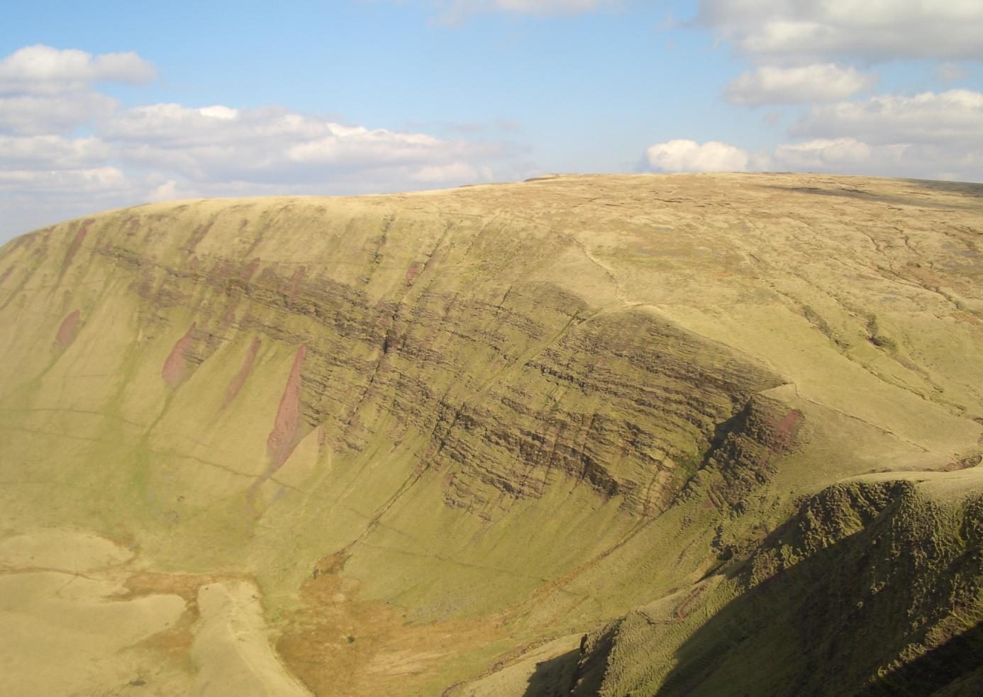
The walk starts at Tafarn-y-Garreg on the A4067 in the upper Swansea Valley. Cross the road and take the path to the left of the inn's car park to a footbridge over the Tawe. The way climbs the hillside to Allt Fach and then follows the ridge of Fan Hir for about 4 km, with the scarp falling away on the right. It drops to Bwlch Giedd and climbs to the trig point and stone shelter of Fan Brycheiniog, 802 m, and on to the far end of the summit ridge. The return is back to Bwlch Giedd, down the stone staircase to Llyn y Fan Fawr, and south along the foot of the escarpment to rejoin the outward path.
It is 12.4 km with 635 m of ascent; allow about 5 hours. The grade is Moderate.
Low cloud is common and comes in fast. The path up to Allt Fach is confused by sheep tracks, parts of the return under the scarp are pathless and boggy, and there are steep drops off the edge: take a map and compass.
There is no public car park at the start: parking is by the roadside or, by arrangement, at the inn. The nearest public car park is at Craig-y-nos Country Park, about 2 km down the valley. The T6 bus between Swansea and Brecon runs up the valley.
Route drawn by Global Adventurer along OpenStreetMap paths (© OpenStreetMap contributors, ODbL), with figures worked out from it. Check the forecast and the ground on the day: paths change.
Good to know
- Fan Brycheiniog, 802 m, has a trig point and a stone shelter on top
- Up Fan Hir, a ridge about 4 km long above a steep east face
- Down the stone staircase from Bwlch Giedd to Llyn y Fan Fawr, one of the park's few natural lakes
- Fan Foel, just beyond the summit, is the highest point of Carmarthenshire
Summits on the way
- Fan Hir 760 m
- Fan Brycheiniog - Trig Point 802 m · passed close by
- Fan Brycheiniog - Twr y Fan Foel 803 m
Getting there
Start: Tafarn-y-Garreg. 51.84109, -3.67227
Places to stay nearby
Rooms in and around Llangadog: Booking.com → Expedia →
Affiliate links: if you book, Global Adventurer earns a small commission at no cost to you.
Paths change, and the weather decides the day. The line and figures come from OpenStreetMap and our own checks; take a map, check the forecast, and turn back if it isn't right.
