Line © OpenStreetMap contributors (ODbL), checked by Global Adventurer.
The walk
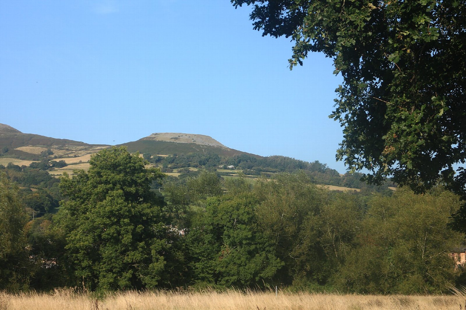
The walk starts from the car park in Beaufort Street, behind the information centre in Crickhowell. It goes out through the town by Llanbedr Road and climbs the tree-lined path beside Cumbeth Brook, on the Beacons Way, to a sheepfold at the mountain wall. Turn right along the wall under old quarries and come onto Table Mountain from the north. Cross the ramparts and the flat top of the Iron Age fort, at 451 m, and go down its southern end, past the farm below and across fields to The Wern. Lanes and Great Oak Road lead back into the town.
It is 7.3 km with 383 m of ascent; allow about 3 hours. The grade is Easy by time; the National Park grades it Very challenging for the gradients.
The paths are steep, muddy and stony in places, with narrow gates and stiles. The lower part crosses farmland with livestock, and the top is open hill: keep dogs on a lead. The flat top is a slab of Old Red Sandstone that has slipped down the hillside.
The car park charges. Crickhowell has cafés, pubs and toilets. The 43 bus between Brecon and Abergavenny stops in the town.
Route drawn by Global Adventurer along OpenStreetMap paths (© OpenStreetMap contributors, ODbL), with figures worked out from it. Check the forecast and the ground on the day: paths change.
Good to know
- An Iron Age hillfort on a flat top at 451 m
- Crug Hywel, Hywel's mound, gave Crickhowell its name
- The table is a slab of Old Red Sandstone that has slipped down the hillside
- Up beside Cumbeth Brook on the Beacons Way
Summits on the way
- Table Mountain 451 m · passed close by
Getting there
Start: Beaufort Street car park, Crickhowell · Pay and display. 51.85969, -3.13721
Places to stay nearby
Rooms in and around Beaufort Street car park: Booking.com → Expedia →
Affiliate links: if you book, Global Adventurer earns a small commission at no cost to you.
Paths change, and the weather decides the day. The line and figures come from OpenStreetMap and our own checks; take a map, check the forecast, and turn back if it isn't right.