Line © OpenStreetMap contributors (ODbL), checked by Global Adventurer.
The walk
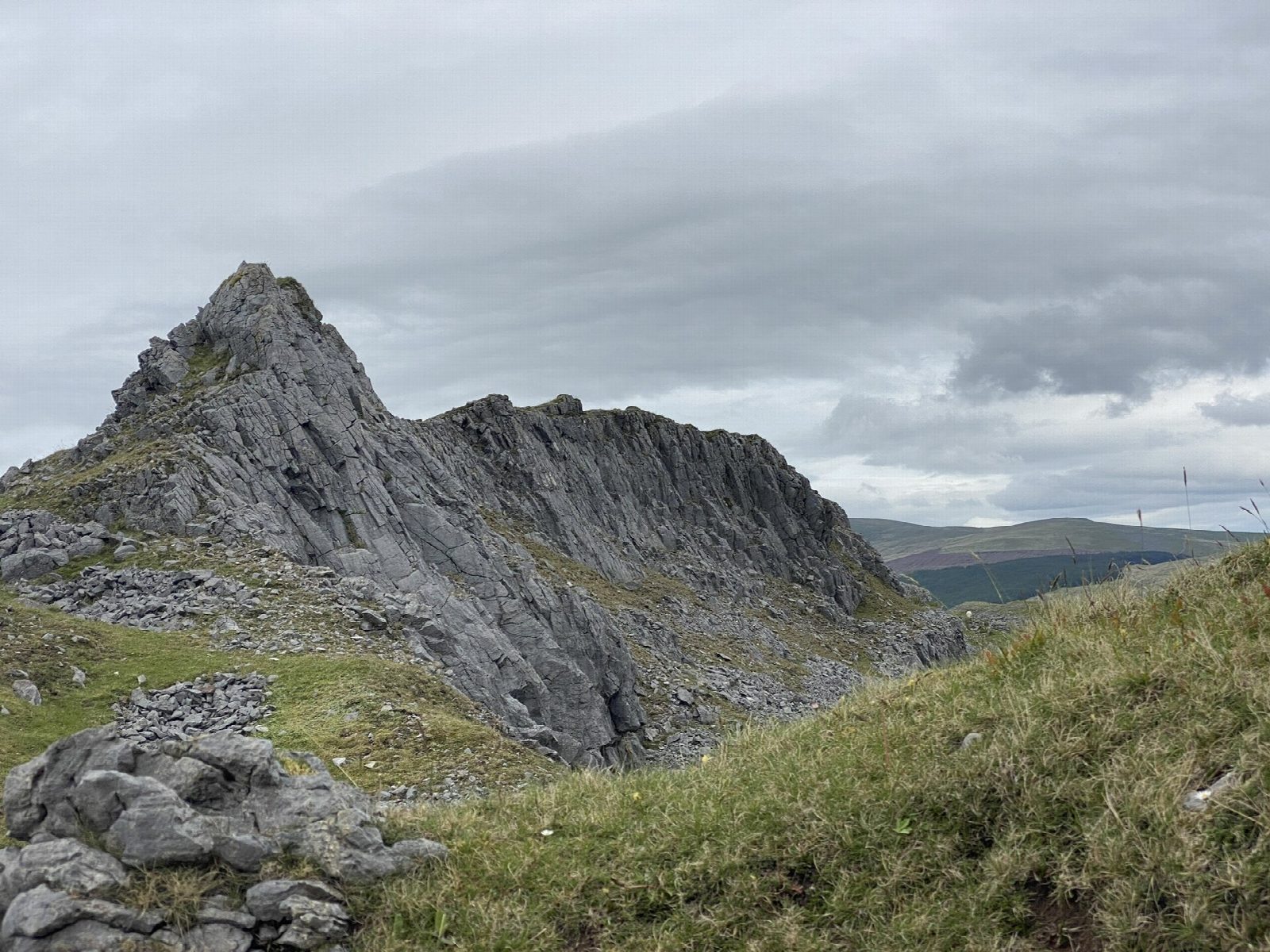
The walk starts from the car park of Craig-y-nos Country Park. Turn left out of the park and follow the main road south for about 350 m, taking care with the traffic, to a gate opposite a large lay-by. A permissive path climbs through private woods and then turns sharp right up a stepped path, steeply beside a fence, to a ladder stile onto the open hill. The way goes on past old rottenstone workings and along a wall, then south-west up the broad ridge, crossed by the grassy lines of old tramroads, to the rocky knoll that is the top of Cribarth at 428 m. The return is the same way.
It is 4.4 km with 220 m of ascent; allow about 1¾ hours. The grade is Easy by time, but the climb through the wood is steep.
The ground is steep with loose rock in places, the grass and limestone are slippery when wet, and the ridge is hard to navigate in mist: keep it for a clear day. Do not go into the old quarries. Sheep and horses graze the hill, so dogs must be on a short lead.
The country park's car park is pay and display, and the park is open from 9.30am to 4.30pm; it has a café and toilets. The T6 bus between Swansea and Brecon stops at Craig-y-nos.
Route drawn by Global Adventurer along OpenStreetMap paths (© OpenStreetMap contributors, ODbL), with figures worked out from it. Check the forecast and the ground on the day: paths change.
Good to know
- Cribarth is called the Sleeping Giant for its outline from down the valley
- Its limestone was quarried in the nineteenth century and old tramroads cross the hill
- Rottenstone was dug here as a polish for metal
- Craig-y-nos Castle below was the home of the opera singer Adelina Patti
Summits on the way
- Cribarth 428 m
Getting there
Start: Craig-y-nos Country Park · Pay and display. 51.82640, -3.68457
Places to stay nearby
Rooms in and around Llangadog: Booking.com → Expedia →
Affiliate links: if you book, Global Adventurer earns a small commission at no cost to you.
Paths change, and the weather decides the day. The line and figures come from OpenStreetMap and our own checks; take a map, check the forecast, and turn back if it isn't right.
