Line © OpenStreetMap contributors (ODbL), checked by Global Adventurer.
The walk
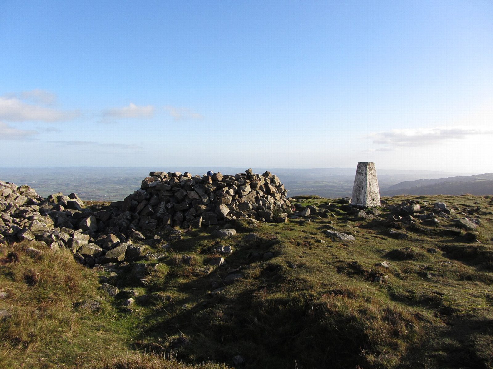
The walk starts from the car park at Keeper's Pond, on the mountain road between Blaenavon and Abergavenny. Follow the path along the west side of the pond and, from its north end, the track that runs north-east round the shoulder of the hill. This is Hill's Tramroad, which carried iron from Blaenavon to the canal at Llanfoist. After about 2.5 km the walk turns back sharply up the hillside to the northern top and goes on over rough moor to the trig point on the summit of Blorenge, 561 m. A broad path continues to the Foxhunter car park by the masts, and from Foxhunter's grave the way back to the pond is westwards beside the road.
It is 6.8 km with 185 m of ascent; allow about 2¼ hours. The grade is Easy: the walk starts high and is mostly level.
It is rough underfoot on the moor, and there are few ways off: the county council advises it for good weather only. The summit is open and featureless in mist. The hill is heather moorland with red grouse, so keep dogs under control.
Parking at Keeper's Pond is free. There is no public transport to the start.
Route drawn by Global Adventurer along OpenStreetMap paths (© OpenStreetMap contributors, ODbL), with figures worked out from it. Check the forecast and the ground on the day: paths change.
Good to know
- Blorenge, 561 m, lies in the Blaenavon World Heritage Site
- Hill's Tramroad carried iron from Blaenavon round the hill to the canal at Llanfoist
- Foxhunter, the horse that won Britain's only gold medal at the 1952 Olympics, is buried on the hill
- Keeper's Pond was made in the early nineteenth century to feed Garnddyrys Forge
Summits on the way
- Blorenge 561 m
Getting there
Start: Keeper's Pond car park · Free parking. 51.79031, -3.08176
Places to stay nearby
Rooms in and around Abergavenny: Booking.com → Expedia →
Affiliate links: if you book, Global Adventurer earns a small commission at no cost to you.
Paths change, and the weather decides the day. The line and figures come from OpenStreetMap and our own checks; take a map, check the forecast, and turn back if it isn't right.
