Line © OpenStreetMap contributors (ODbL), checked by Global Adventurer.
The walk
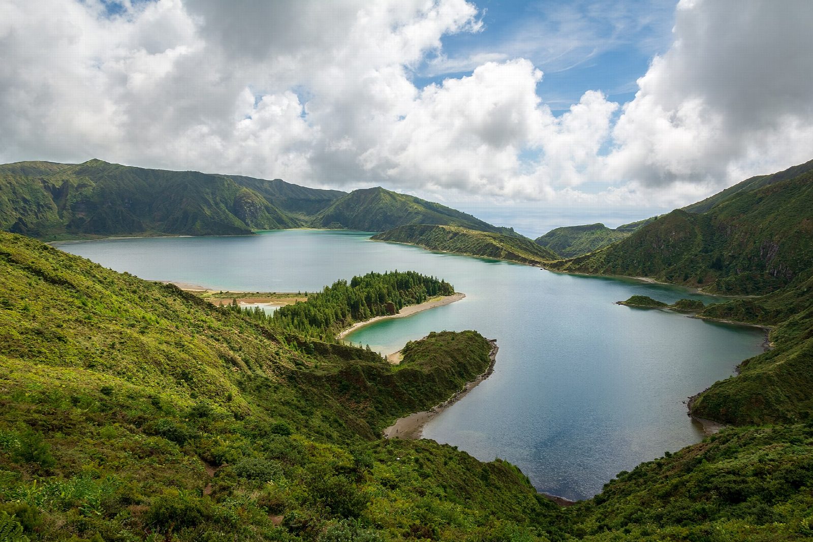
From the car park at the scout park, Parque Escutista dos Lagos, above Água d'Alto, climb north through farmland and cedar plantations into the valley of the Ribeira da Praia. The way follows water channels and pipes that collect spring water for Ponta Delgada, climbing steadily up the steep-sided valley into native heath and juniper. It comes out on the south shore of Lagoa do Fogo, the lake in the crater of the Água de Pau volcano. Return the same way, with views down to Vila Franca do Campo and its islet.
It is 9.8 km there and back with 524 m of ascent; allow about 4 hours. The grade is Moderate: a long, steady climb on tracks and paths, steep in places.
The lake is a nature reserve. Gulls nest around it in April and May, so keep to the path then and give the birds space. The paths beside the water channels are often wet and muddy: wear boots. Cloud and fog are common at the lake.
The car park is free, with room for about 20 cars. Buses between Ponta Delgada and Vila Franca do Campo run along the coast through Água d'Alto, about 1.5 to 2 km below the start up the Caminho Ribeira da Praia; check the timetable.
Route drawn by Global Adventurer along OpenStreetMap paths (© OpenStreetMap contributors, ODbL), with figures worked out from it. Check the forecast and the ground on the day: paths change.
Good to know
- Lagoa do Fogo fills the caldera of the Água de Pau volcano in the middle of São Miguel and is a nature reserve
- The official trail climbs to the lake from the south coast instead of dropping from the road viewpoint
- Much of the way follows channels that collect spring water for Ponta Delgada
- Farmland and cedar plantations give way to native heath and juniper near the lake
Getting there
Start: Parque Escutista dos Lagos car park. 37.73243, -25.46986
Places to stay nearby
Rooms in and around Azores: Booking.com → Expedia →
Affiliate links: if you book, Global Adventurer earns a small commission at no cost to you.
Paths change, and the weather decides the day. The line and figures come from OpenStreetMap and our own checks; take a map, check the forecast, and turn back if it isn't right.