Line © OpenStreetMap contributors (ODbL), checked by Global Adventurer.
The walk
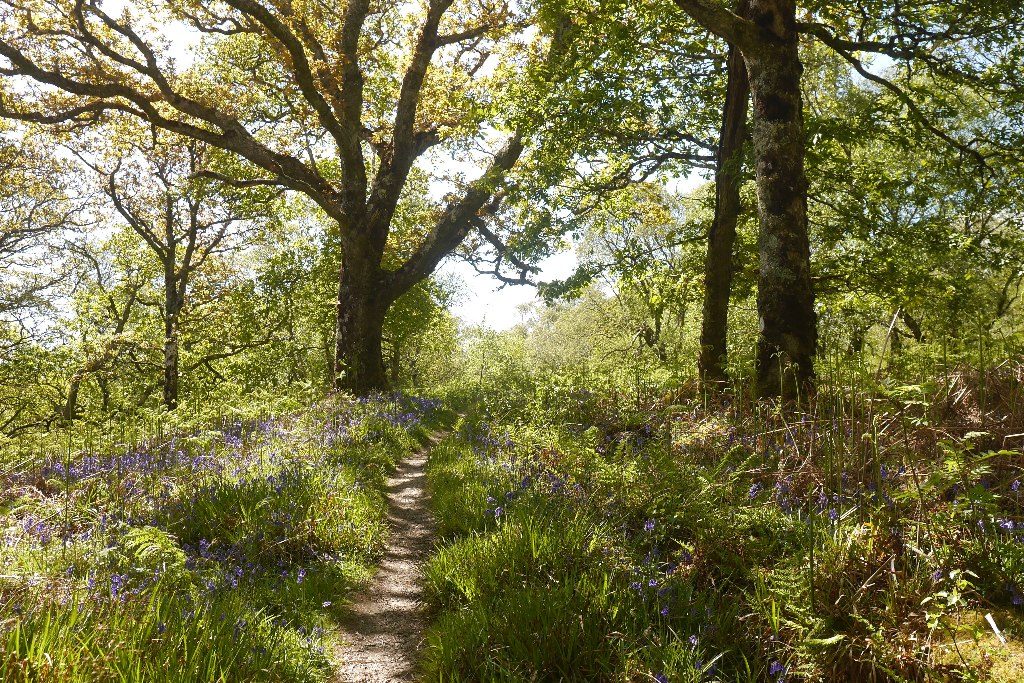
From the reserve car park, walk back along the road past Lochan Taynish for about a kilometre to the red-waymarked trail, which climbs on many steps through oakwood onto a long, narrow ridge. The ridge path passes a seat with a view to the Paps of Jura, then descends to a track. Turn right and follow the track south, past storage buildings, and take the path to the tip of the peninsula, where a small hide looks over tidal rapids, and back. Beyond a field gate, the Woodland Trail leads back through the trees on the south-east side of the reserve, past the ruined Taynish Mill, to the car park.
It is 8.6 km with 174 m of ascent; allow about 2½ hours. The grade is Easy: well-made paths and tracks through woodland, with one climb on steps.
Taynish is a National Nature Reserve; its oakwood is often compared to rainforest for its mosses, liverworts and lichens. Otters are sometimes seen from the hide. Taynish House, built in 1650, is private. The minor road to the reserve is rough in its later stages, according to Walkhighlands.
The car park is free. The nearest bus stop is in Tayvallich, about 2.5 km away.
Route drawn by Global Adventurer along OpenStreetMap paths (© OpenStreetMap contributors, ODbL), with figures worked out from it. Check the forecast and the ground on the day: paths change.
Good to know
- A National Nature Reserve with one of the most extensive remnants of Britain's Atlantic oakwoods
- A ridge path looks over the reserve to the Paps of Jura
- The woods are rich in mosses, liverworts and lichens; otters are sometimes seen from the hide at the tip
Summits on the way
- Barr Mor 126 m · passed close by
Getting there
Start: Taynish National Nature Reserve car park · Free parking. 56.00667, -5.63103
Places to stay nearby
Rooms in and around Argyll: Booking.com → Expedia →
Affiliate links: if you book, Global Adventurer earns a small commission at no cost to you.
Paths change, and the weather decides the day. The line and figures come from OpenStreetMap and our own checks; take a map, check the forecast, and turn back if it isn't right.