Line © OpenStreetMap contributors (ODbL), checked by Global Adventurer.
The hike
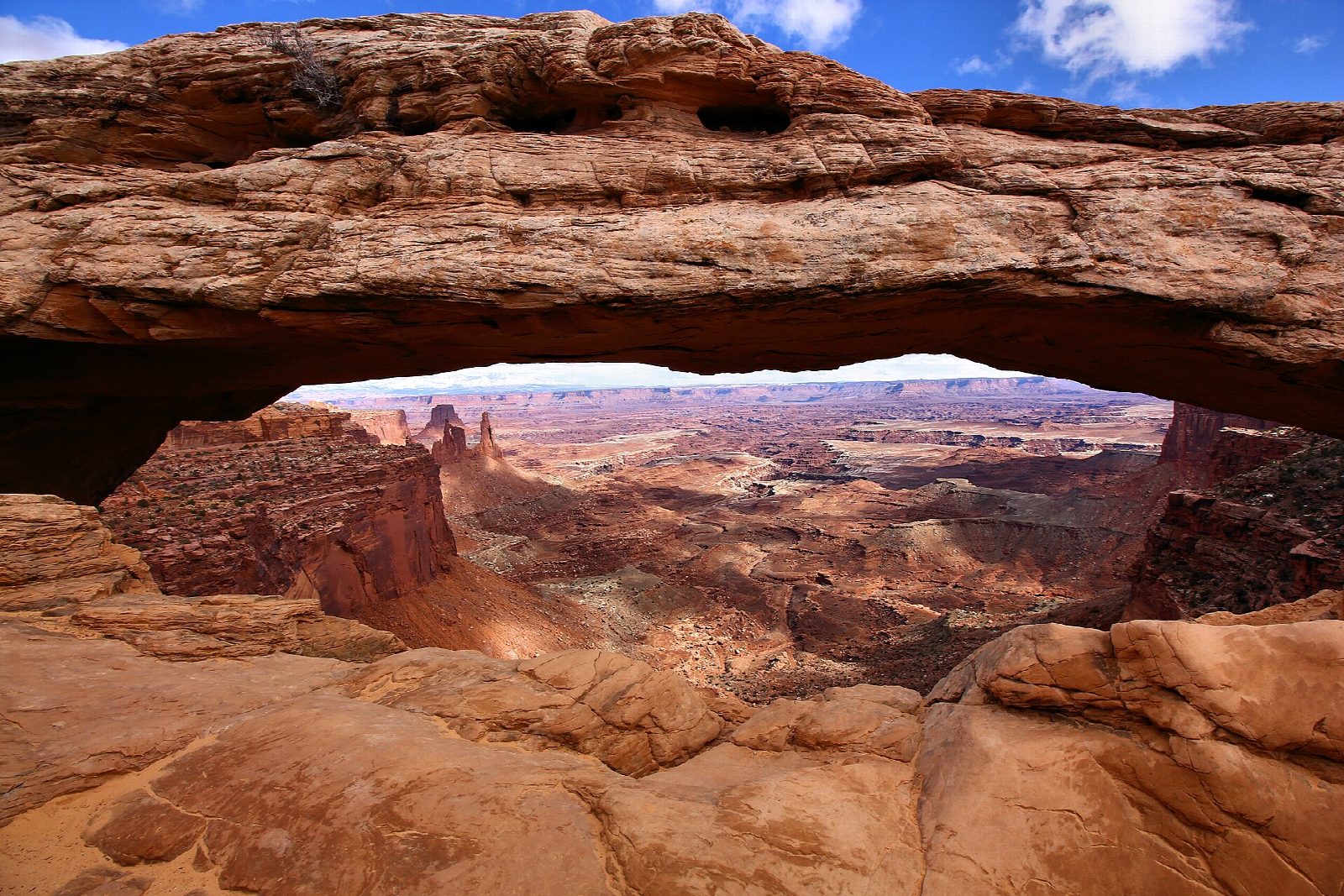
The trail starts at the Mesa Arch car park on the Island in the Sky road. A marked path crosses slickrock and sandy ground among pinyon and juniper, passing a sign about the living soil crust that you should not step on. It comes to the arch on the lip of the mesa: a span 27 feet long with a sheer drop beneath it, framing the canyons and the La Sal Mountains beyond. The loop returns by a second path over a low rise.
It is 0.7 miles (1.1 km) around the loop with 20 feet (7 m) of climbing; allow about 20 minutes. The grade is Easy: it is very short, on uneven rock with some steps.
For fewer steps the park suggests walking clockwise to the arch and coming back the same way. At sunrise the underside of the arch glows red, and photographers gather well before dawn. Keep off the arch: walking on it is forbidden, and the drop is sheer. There is no water here, so fill up at the visitor center. In winter the park recommends traction devices. Pets are not allowed on trails. The entrance fee is $30 a vehicle, and no reservation is needed. The mesa is at about 6,000 feet.
Route drawn by Global Adventurer along OpenStreetMap paths (© OpenStreetMap contributors, ODbL), with figures worked out from it. Check the forecast and the ground on the day: paths change.
Good to know
- An arch on the very lip of the Island in the Sky mesa, framing the canyons below
- At sunrise its underside glows red, and photographers gather well before dawn
- Keep off the arch: the drop beneath it is sheer
Getting there
Start: Mesa Arch Trailhead. 38.38914, -109.86805
Places to stay nearby
Rooms in and around Arches and Canyonlands: Booking.com → Expedia →
Affiliate links: if you book, Global Adventurer earns a small commission at no cost to you.
Paths change, and the weather decides the day. The line and figures come from OpenStreetMap and our own checks; take a map, check the forecast, and turn back if it isn't right.
