Line © OpenStreetMap contributors (ODbL), checked by Global Adventurer.
The hike
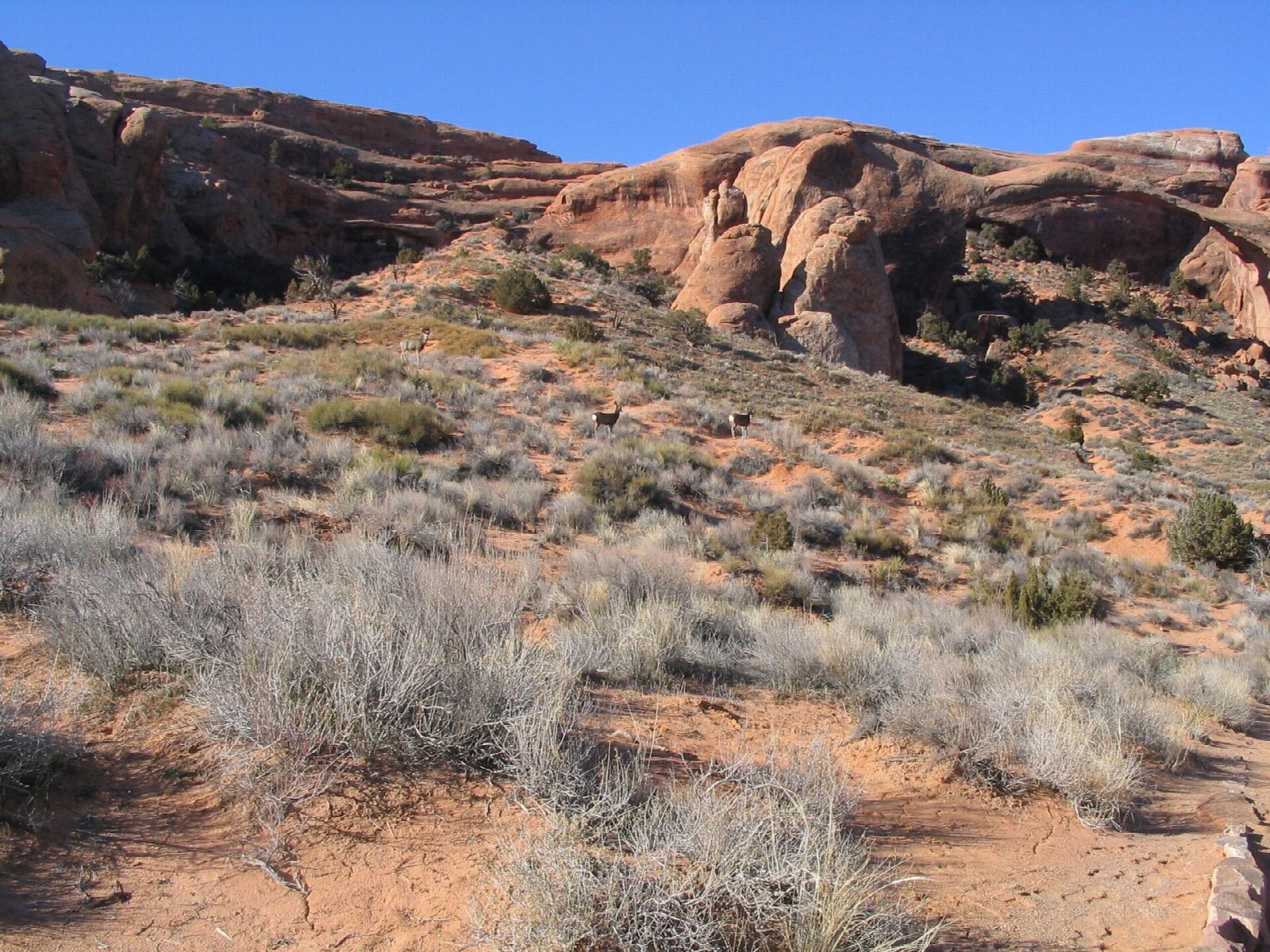
From the Devils Garden Trailhead, at the end of the park road, a broad gravel path runs between fins, past the short spur to Tunnel Arch and Pine Tree Arch, to Landscape Arch. Here the easy path ends. The trail climbs steeply up a sandstone fin, passes the site of Wall Arch, which fell in 2008, and the spur to Partition and Navajo Arches, then follows narrow ledges along the top of a fin before dropping to Double O Arch. Return the same way.
It is 4.3 miles (6.9 km) round trip with 350 feet (106 m) of climbing; allow about 2 hours. The grade is Hard: beyond Landscape Arch you need hands as well as feet, and the ledges are narrow, with steep drops.
Landscape Arch has an opening 306 feet wide and is only 6 feet thick at its thinnest. A slab fell from it in 1991, and the ground beneath it has been closed since. Carry at least two quarts of water each. The trailhead has toilets all year and drinking water from spring to fall. No timed-entry reservation is needed in 2026, but the car park fills by mid-morning in busy months and the wait at the park entrance can pass an hour. Dogs are not allowed, and walking or climbing on any arch is forbidden.
Route drawn by Global Adventurer along OpenStreetMap paths (© OpenStreetMap contributors, ODbL), with figures worked out from it. Check the forecast and the ground on the day: paths change.
Good to know
- Past Landscape Arch, over 90 m across and one of the longest natural arches in the world
- Beyond it the trail scrambles up slickrock and along narrow fins with drops on both sides
- At the end of the park road; the car park fills by mid-morning in busy months
Getting there
Start: Devils Garden Trailhead. 38.78183, -109.59353
Places to stay nearby
Rooms in and around Arches and Canyonlands: Booking.com → Expedia →
Affiliate links: if you book, Global Adventurer earns a small commission at no cost to you.
Paths change, and the weather decides the day. The line and figures come from OpenStreetMap and our own checks; take a map, check the forecast, and turn back if it isn't right.