Line © OpenStreetMap contributors (ODbL), checked by Global Adventurer.
The hike
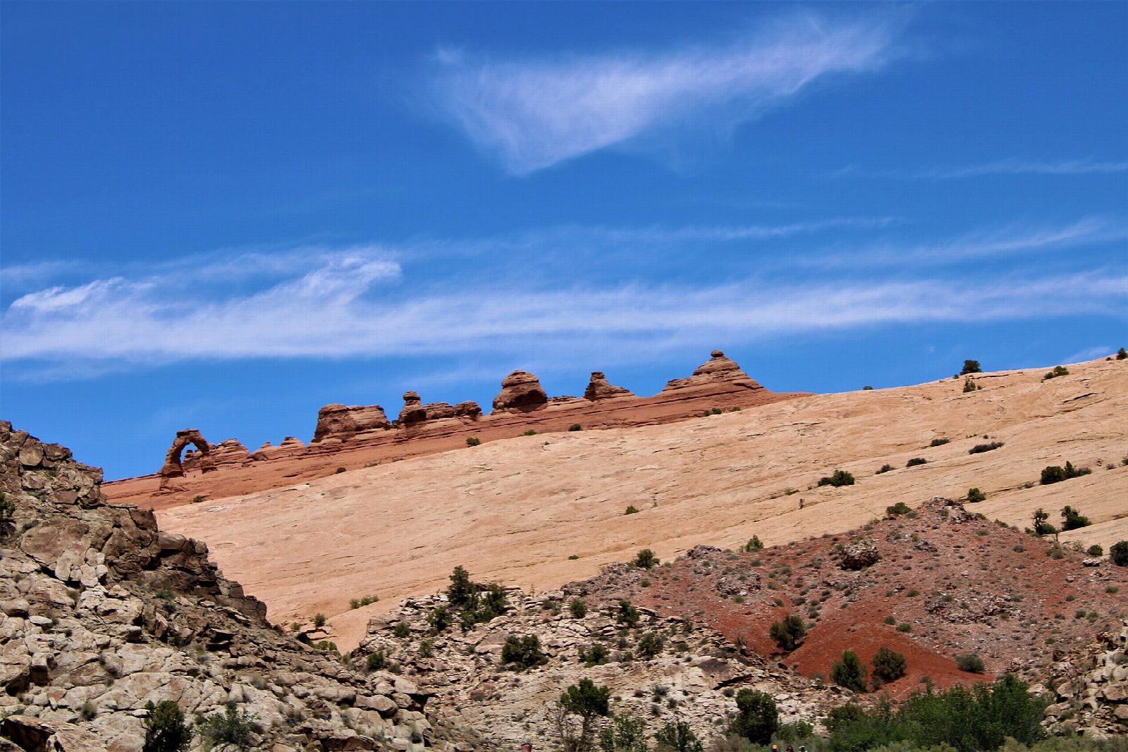
From the car park at Wolfe Ranch the trail passes the old Wolfe cabin and crosses Salt Wash on a footbridge; a short side path leads to a panel of Ute rock carvings. The path then climbs a long, steep slope of bare slickrock and crosses broken ground to a ledge cut into the cliff. The ledge runs for about 200 yards and ends suddenly at the arch, on the lip of a great sandstone bowl. Return the same way.
It is 3.2 miles (5.2 km) round trip with 510 feet (156 m) of climbing; allow about 1½ hours. The grade is Easy: it is short, but the park rates it strenuous, with a steep climb, no shade and some exposure on the ledge.
Rangers often rescue walkers who underestimate this trail. Carry at least two quarts of water each and avoid the heat of the day in summer, when it passes 100°F. The ledge is often icy in winter. There are toilets at the trailhead but no drinking water. Arches is not using timed-entry reservations in 2026, but the car park fills, and the queue at the entrance can pass an hour between March and October. A shuttle from Moab stops here until October 31, 2026. Dogs are not allowed on the trail, and nobody may climb on the arch.
Route drawn by Global Adventurer along OpenStreetMap paths (© OpenStreetMap contributors, ODbL), with figures worked out from it. Check the forecast and the ground on the day: paths change.
Good to know
- Utah's most famous arch, alone on the lip of a slickrock bowl with the La Sal Mountains behind
- Open slickrock with no shade: go early or late in summer and carry plenty of water
- Arches has needed timed-entry tickets in some years: check nps.gov/arch before you go
Getting there
Start: Delicate Arch Trailhead. 38.73559, -109.52093
Places to stay nearby
Rooms in and around Arches and Canyonlands: Booking.com → Expedia →
Affiliate links: if you book, Global Adventurer earns a small commission at no cost to you.
Paths change, and the weather decides the day. The line and figures come from OpenStreetMap and our own checks; take a map, check the forecast, and turn back if it isn't right.