Line © OpenStreetMap contributors (ODbL), checked by Global Adventurer.
The walk
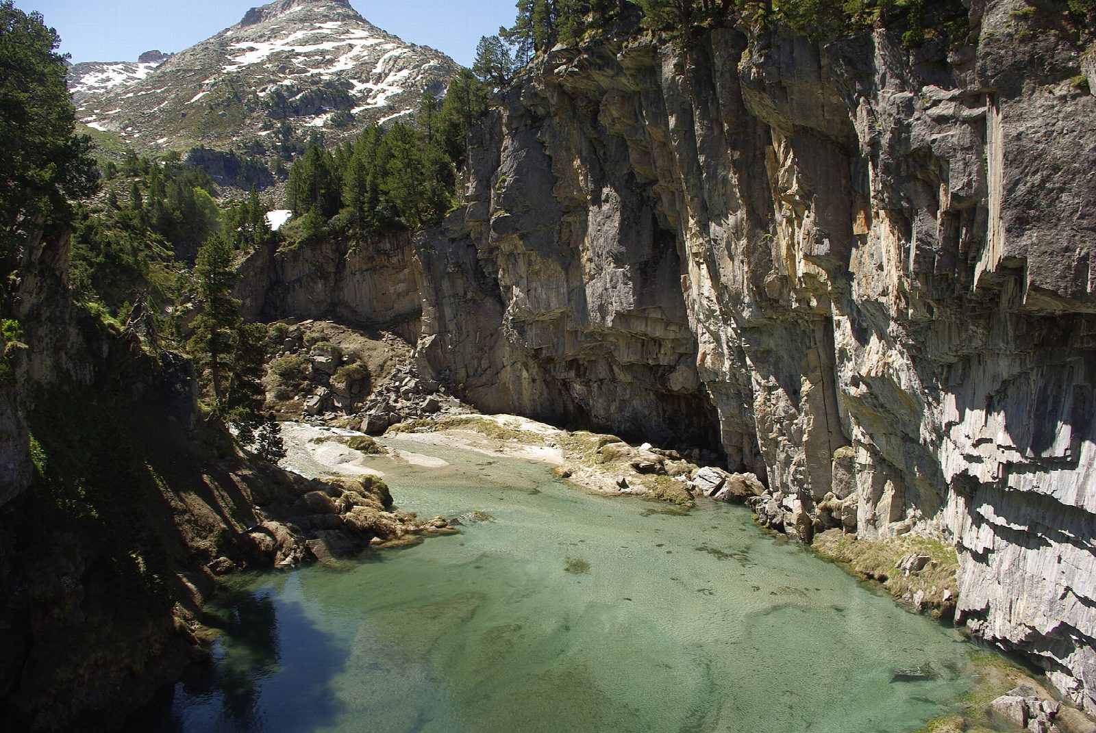
From La Besurta, at the end of the road up the Benasque valley, the path climbs gently; at the fork after a quarter of an hour keep left, since the right-hand path goes to the Renclusa refuge. It reaches a viewpoint over the Forau d'Aigualluts, a sinkhole about 70 m across into which the whole river disappears, then the Aigualluts waterfall and the Plan d'Aigualluts, a flat meadow threaded by streams under the glaciers of Aneto and the Maladeta. Return the same way.
It is 5 km there and back with 159 m of climbing; allow about 1½ hours. The grade is Easy: a clear, stony path with one short climb.
The water that vanishes here runs underground for about 4 km and comes out in the Val d'Aran, on the far side of the range, to reach the Atlantic by the Garonne: a dye test proved it in 1931.
In summer the road to La Besurta is closed to private cars (in 2026, from 20 June to 13 September) and a bus runs from the Vado del Hospital about every 35 minutes. At other times you can usually drive to La Besurta until the snow comes. Even in August this is high ground: take warm clothes.
Route drawn by Global Adventurer along OpenStreetMap paths (© OpenStreetMap contributors, ODbL), with figures worked out from it. Check the forecast and the ground on the day: paths change.
Good to know
- Meltwater from the Aneto and Maladeta glaciers drops into the Forau, a sinkhole about 70 m across
- It runs underground for about 4 km and comes out in the Val d'Aran, to reach the Atlantic by the Garonne
- In summer the road to La Besurta is closed to private cars and a bus runs from the Vado del Hospital
- A short walk, but it starts at 1,900 m: take warm clothes
Getting there
Start: La Besurta. 42.67897, 0.64985
Places to stay nearby
Rooms in and around Aragonese Pyrenees: Booking.com → Expedia →
Affiliate links: if you book, Global Adventurer earns a small commission at no cost to you.
Paths change, and the weather decides the day. The line and figures come from OpenStreetMap and our own checks; take a map, check the forecast, and turn back if it isn't right.