Line © OpenStreetMap contributors (ODbL), checked by Global Adventurer.
The walk
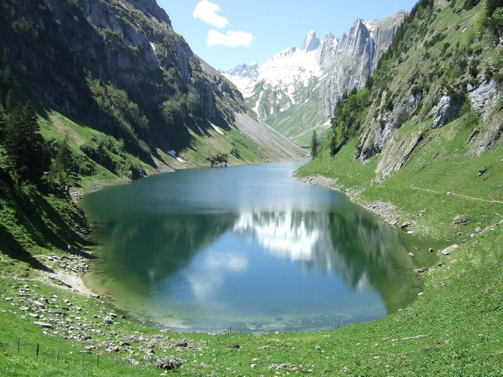
From the Hoher Kasten cable car station at Brülisau, a track climbs south up a wooded valley to the alp of Plattenbödeli. It drops to the Sämtisersee, a small lake in a green basin under the Kreuzberge, and continues west along the valley floor and up over a low rise to the Fälensee. The narrow lake lies between steep limestone walls, with Berggasthaus Bollenwees at its eastern end. The way back follows the valley past the Sämtisersee and down to Brülisau.
It is 13.9 km round with 665 m of ascent; allow about 5½ hours. The grade is Moderate: mostly farm tracks and good paths, with one long, steady climb from Brülisau.
The tracks are used by farm vehicles in summer, and cattle graze the alps. Bollenwees and Plattenbödeli have inns open in the summer season. The Alpstein gets heavy thunderstorms on summer afternoons, and snow can lie in the valleys into May.
Brülisau is reached by bus from Appenzell, which is on the Appenzell railway. There is a car park by the Hoher Kasten cable car.
Route drawn by Global Adventurer along OpenStreetMap paths (© OpenStreetMap contributors, ODbL), with figures worked out from it. Check the forecast and the ground on the day: paths change.
Good to know
- Two lakes in the Alpstein: the small Sämtisersee in its green basin, and the long, narrow Fälensee under the Kreuzberge
- Berggasthaus Bollenwees stands at the east end of the Fälensee
- Brülisau is reached by bus from Appenzell; the Hoher Kasten cable car starts at the car park
Getting there
Start: Brülisau, Hoher Kasten cable car. 47.29645, 9.45680
Places to stay nearby
Rooms in and around Brülisau: Booking.com → Expedia →
Affiliate links: if you book, Global Adventurer earns a small commission at no cost to you.
Paths change, and the weather decides the day. The line and figures come from OpenStreetMap and our own checks; take a map, check the forecast, and turn back if it isn't right.