Line © OpenStreetMap contributors (ODbL), checked by Global Adventurer.
The walk
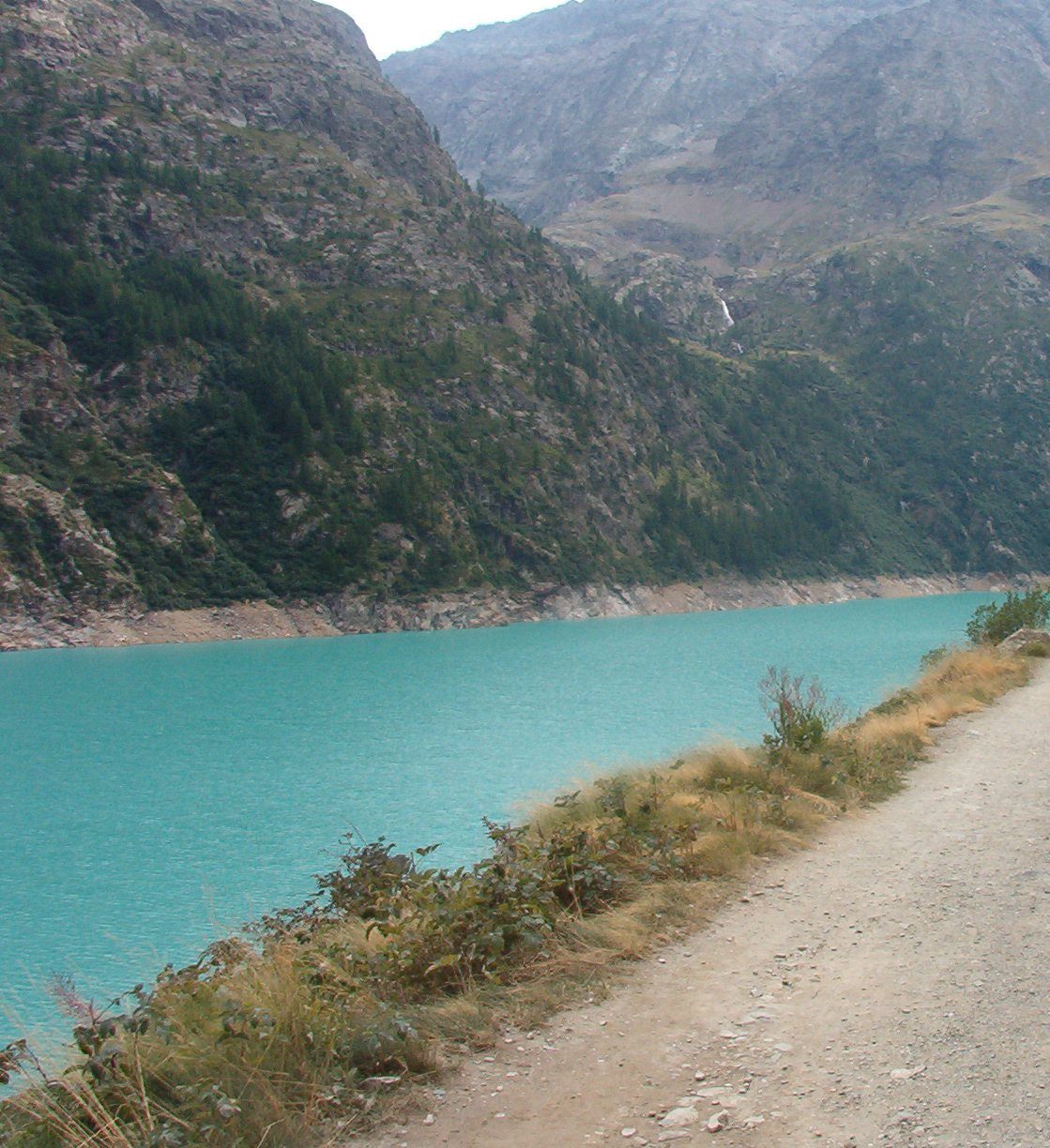
From the car park by the Place Moulin dam, at the head of the Valpelline above Bionaz, a broad track follows the shore of the reservoir, almost level, for about 4 km to the meadows of Prarayer and Rifugio Prarayer, about 2,005 m, at the head of the lake among high mountains, glaciers and woods. Return the same way.
It is 9.2 km there and back with 199 m of ascent; allow about 3 hours. The grade is Easy: a wide track with only small rises and falls.
The dam, 155 m high, was built between 1961 and 1965 and holds back about 105 million cubic metres of water. Rifugio Prarayer is a stage on the Tour of the Matterhorn and is open from 31 May to 25 October in 2026; outside that season the valley head is often under snow. There is no shelter along the lake.
The car park at the dam is paid. Place Moulin is at the end of the road up the Valpelline from Aosta.
Route drawn by Global Adventurer along OpenStreetMap paths (© OpenStreetMap contributors, ODbL), with figures worked out from it. Check the forecast and the ground on the day: paths change.
Good to know
- Along the shore of the Place Moulin reservoir, about 4 km long, to the head of the Valpelline
- The dam, 155 m high, was built between 1961 and 1965
- Rifugio Prarayer is a stage on the Tour of the Matterhorn
- A broad, almost level track
Getting there
Start: Place Moulin car park · Pay and display. 45.89973, 7.49032
Places to stay nearby
Rooms in and around Aosta Valley: Booking.com → Expedia →
Affiliate links: if you book, Global Adventurer earns a small commission at no cost to you.
Paths change, and the weather decides the day. The line and figures come from OpenStreetMap and our own checks; take a map, check the forecast, and turn back if it isn't right.