Line © OpenStreetMap contributors (ODbL), checked by Global Adventurer.
The walk
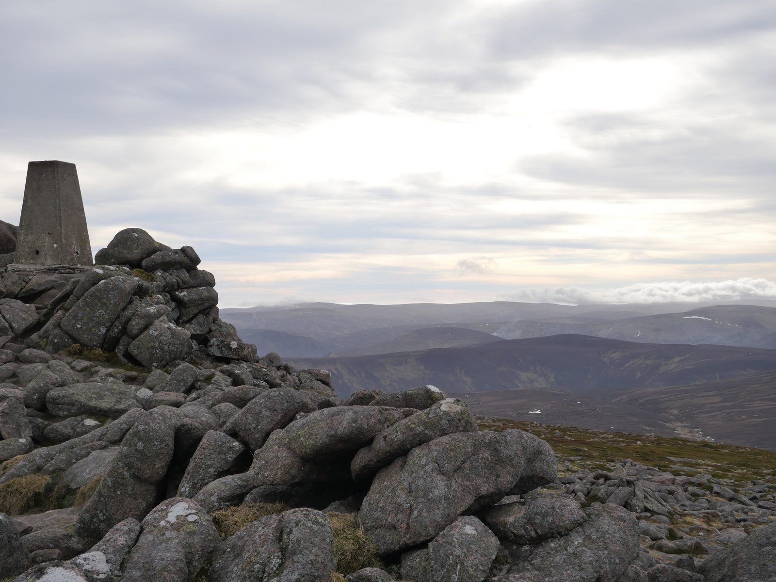
The walk starts from the Invermark car park at the head of Glen Esk and goes out and back. It follows Glen Mark past the Queen's Well, built for Queen Victoria's visit in 1861, then climbs on the old Mounth road towards Deeside before a path leads to the summit of Mount Keen (939 m), the most easterly Munro. Nearly three-quarters of the route is on track, with the rest on path and a little road.
It is 17.7 km with 672 m of ascent; allow about 6 hours. The grade is Hard, mostly for the distance; the tracks are easy to follow, but the final climb is steeper.
The summit is exposed, and in mist you need a map and compass to find the way back to the track; check the forecast and be ready to turn back. Winter brings snow and ice to the upper slopes. There are no mapped water sources on the route.
Invermark is at the end of the long road up Glen Esk, and the car park is at the road end, where the walk starts.
Route drawn by Global Adventurer along OpenStreetMap paths (© OpenStreetMap contributors, ODbL), with figures worked out from it. Check the forecast and the ground on the day: paths change.
Good to know
- The most easterly Munro
- Passes the Queen's Well, built for Queen Victoria's visit in 1861
- Follows the old Mounth road towards Deeside
Summits on the way
- Mount Keen 939 m
Getting there
Start: Invermark car park. 56.91133, -2.91006
Places to stay nearby
Rooms in and around Laurencekirk: Booking.com → Expedia →
Affiliate links: if you book, Global Adventurer earns a small commission at no cost to you.
Paths change, and the weather decides the day. The line and figures come from OpenStreetMap and our own checks; take a map, check the forecast, and turn back if it isn't right.