Line © OpenStreetMap contributors (ODbL), checked by Global Adventurer.
The walk
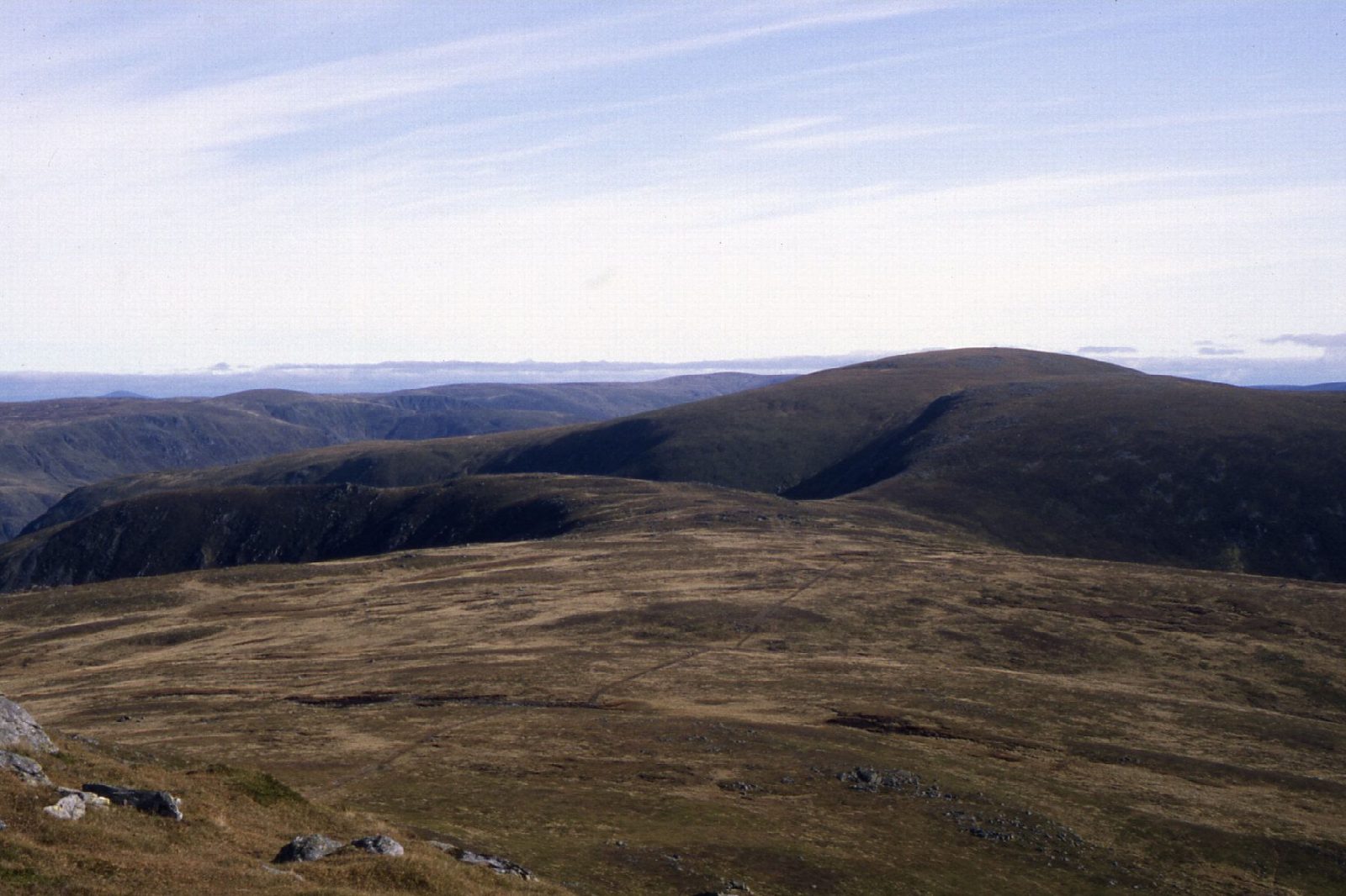
The walk starts from the Glen Doll car park at the head of Glen Clova, which charges. Forest tracks lead past Acharn and the start of Jock's Road to the Corrie Fee trail and the mouth of the corrie. A well-made path crosses the corrie floor and climbs steeply to the left of the waterfall onto the plateau, and an informal path leads south-south-west to Mayar. The route follows fence posts east over the plateau, down to a bealach and up to the trig point and big shelter cairn on Driesh. It comes back to the bealach and descends the path along the Shank of Drumfollow into the forest.
It is 14.7 km (9.1 miles) with 838 m (2,750 ft) of ascent; allow about 6¼ hours. The grade is Hard.
Corrie Fee is a National Nature Reserve, a glacial bowl with rare mountain plants and golden eagles. From Driesh the view reaches the Firth of Tay, though the flat plateau robs it of depth.
The paths are good in the corrie but rough on the plateau, where the fence posts help in mist. Don't try to descend from Driesh by the Scorrie, which is very steep and poorly defined.
Route drawn by Global Adventurer along OpenStreetMap paths (© OpenStreetMap contributors, ODbL), with figures worked out from it. Check the forecast and the ground on the day: paths change.
Good to know
- Up through Corrie Fee National Nature Reserve and beside its waterfall
- Fence posts help navigation on the plateau between the two tops
- Driesh has a trig point inside a big shelter cairn
- Down by the Shank of Drumfollow and the forest
Summits on the way
- Mayar 929 m
- Driesh 948 m
- Shank of Drumfollow 843 m · passed close by
Getting there
Start: Glen Doll Ranger Base car park · Pay and display. 56.87060, -3.17629
Places to stay nearby
Rooms in and around Angus: Booking.com → Expedia →
Affiliate links: if you book, Global Adventurer earns a small commission at no cost to you.
Paths change, and the weather decides the day. The line and figures come from OpenStreetMap and our own checks; take a map, check the forecast, and turn back if it isn't right.