Line © OpenStreetMap contributors (ODbL), checked by Global Adventurer.
The walk
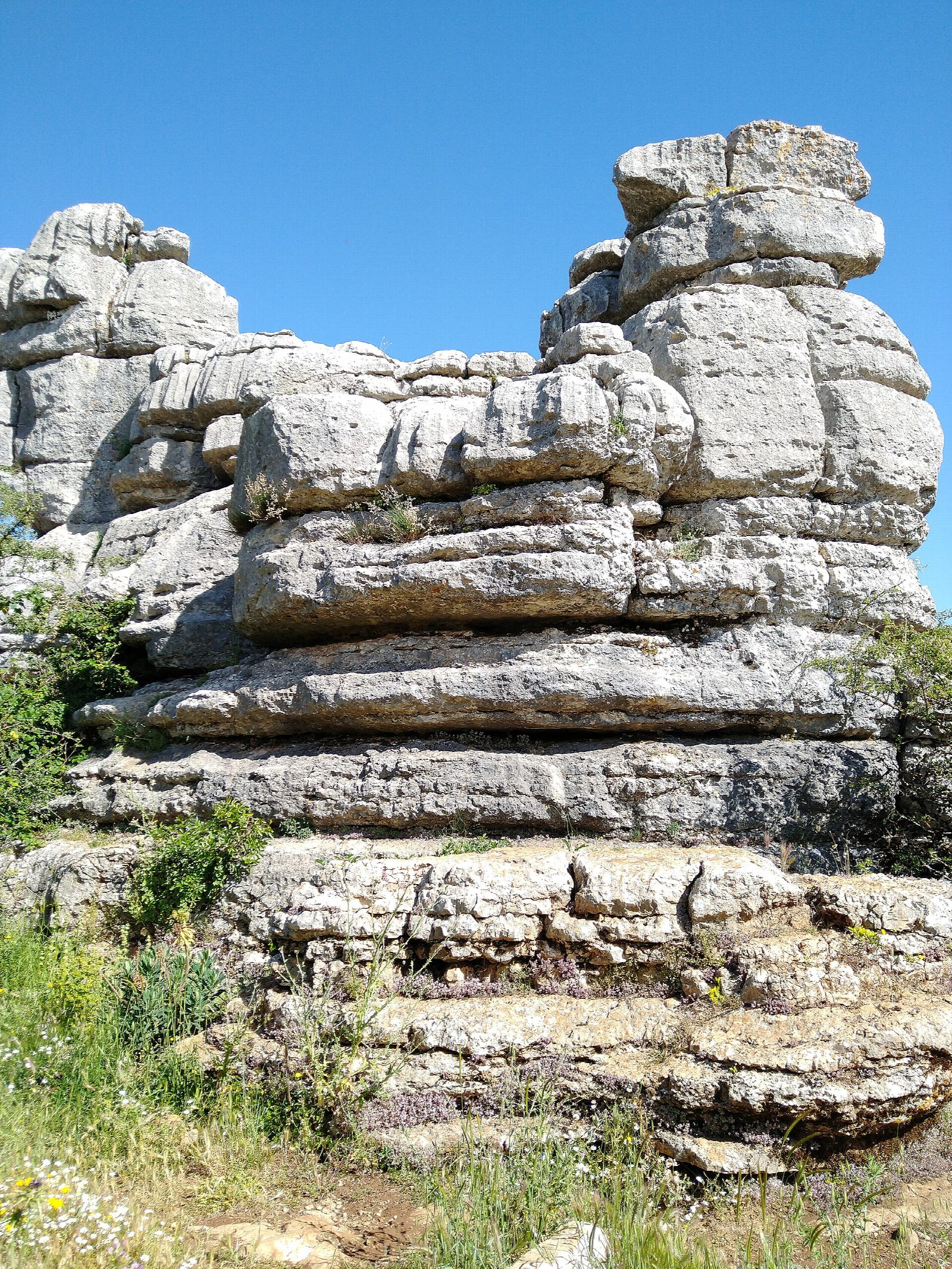
Start at the upper car park by the Torcal Alto visitor centre, at over 1,200 m. The yellow-marked route leaves from the right-hand end of the car park and shares its first stretch with the shorter green route, past La Esfinge and other rocks named for their shapes. It then swings out on its own through the Callejón del Tabaco and round by El Camello, between walls of layered limestone, and comes back behind the visitor centre.
It is 2.9 km round with 86 m of climbing; allow about an hour of walking, and more for the ground, which is slow: the official time is two hours. The grade is Easy.
The path is very stony and uneven, over ribs of rock and through narrow gaps, and slippery when wet. The rock all looks alike and the marks are easy to lose in mist, so keep to the marked line. There is no shade and no water beyond the visitor centre.
Entry is free. When the upper car park is full, at weekends and on holidays, cars are held at the lower car park and a minibus runs up every 15 to 20 minutes (€2 return). The visitor centre is open from 9.30 am to 5.30 pm. Dogs must be on a lead.
Route drawn by Global Adventurer along OpenStreetMap paths (© OpenStreetMap contributors, ODbL), with figures worked out from it. Check the forecast and the ground on the day: paths change.
Good to know
- A maze of limestone laid down on a Jurassic sea floor and worn into stacks, alleys and tables
- Part of the Antequera Dolmens World Heritage Site
- When the upper car park is full, at weekends and holidays, cars are held at the lower one and a minibus runs up
- Very rough, stony ground: follow the yellow marks, especially in mist
Summits on the way
- Cerro las Ventanillas 1,256 m · passed close by
Getting there
Start: Torcal Alto visitor centre · Free parking. 36.95311, -4.54444
Places to stay nearby
Rooms in and around Andalusia: Booking.com → Expedia →
Affiliate links: if you book, Global Adventurer earns a small commission at no cost to you.
Paths change, and the weather decides the day. The line and figures come from OpenStreetMap and our own checks; take a map, check the forecast, and turn back if it isn't right.