Line © OpenStreetMap contributors (ODbL), checked by Global Adventurer.
The walk
From the Luna Rossa car park in Amalfi, walk to Piazza Flavio Gioia on the seafront. Path 323 climbs by long stairways out of the town to the hamlet of Pontone, in the commune of Scala. From there path 323A follows the side of the valley north-west to the ruins of the Ferriera, the old ironworks that gave the Valle delle Ferriere its name. The return follows path 325 down the valley beside the Canneto stream, past the ruins of medieval paper mills, through the Valle dei Mulini to Amalfi.
It is 6.9 km round with 341 m of ascent; allow about 2½ hours. The grade is Easy: steep stairways out of Amalfi, then a good valley path, damp and shady in places.
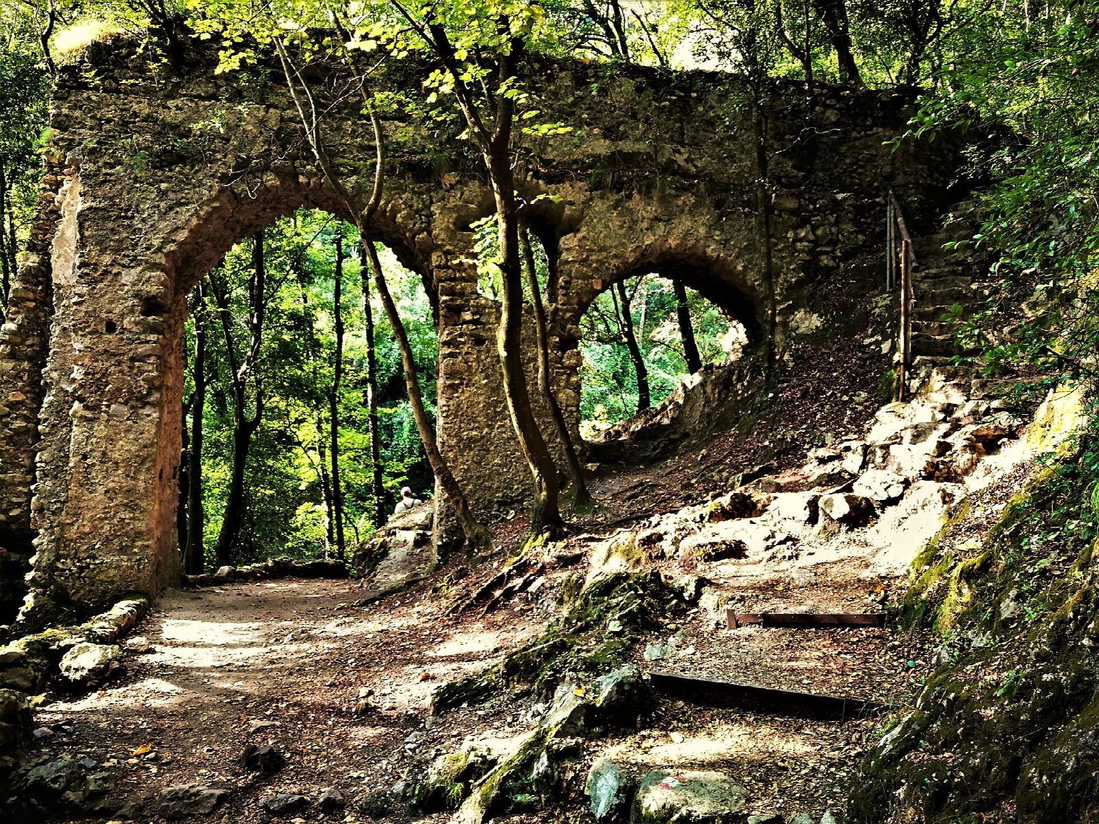
A landslide near Fore Porta closed path 325 in 2022; it now passes the slip on a bypass along an old aqueduct. The upper valley, ringed by Monte Cervigliano, 1,203 m, and Monte Campanaro, is a nature reserve where the rare fern Woodwardia radicans grows. It can be visited only by booking with the Comune di Scala, and the fern zone is closed; this walk turns before the reserve gate.
The Luna Rossa car park is paid. SITA buses run along the coast to Amalfi, and the bus from Amalfi to Ravello stops below Pontone, for a shorter start.
Route drawn by Global Adventurer along OpenStreetMap paths (© OpenStreetMap contributors, ODbL), with figures worked out from it. Check the forecast and the ground on the day: paths change.
Good to know
- A deep valley behind Amalfi, cool and shady, with the ruins of medieval ironworks and paper mills by the Canneto stream
- The valley is ringed by Monte Cervigliano, 1,203 m, and Monte Campanaro
- The upper valley is a nature reserve, visited only by booking, where the giant fern Woodwardia radicans grows
- The SITA bus from Amalfi to Ravello stops below Pontone
Getting there
Start: Luna Rossa car park, Amalfi · Pay and display. 40.63407, 14.60672
Places to stay nearby
Rooms in and around Luna Rossa car park: Booking.com → Expedia →
Affiliate links: if you book, Global Adventurer earns a small commission at no cost to you.
Paths change, and the weather decides the day. The line and figures come from OpenStreetMap and our own checks; take a map, check the forecast, and turn back if it isn't right.