Line © OpenStreetMap contributors (ODbL), checked by Global Adventurer.
The walk
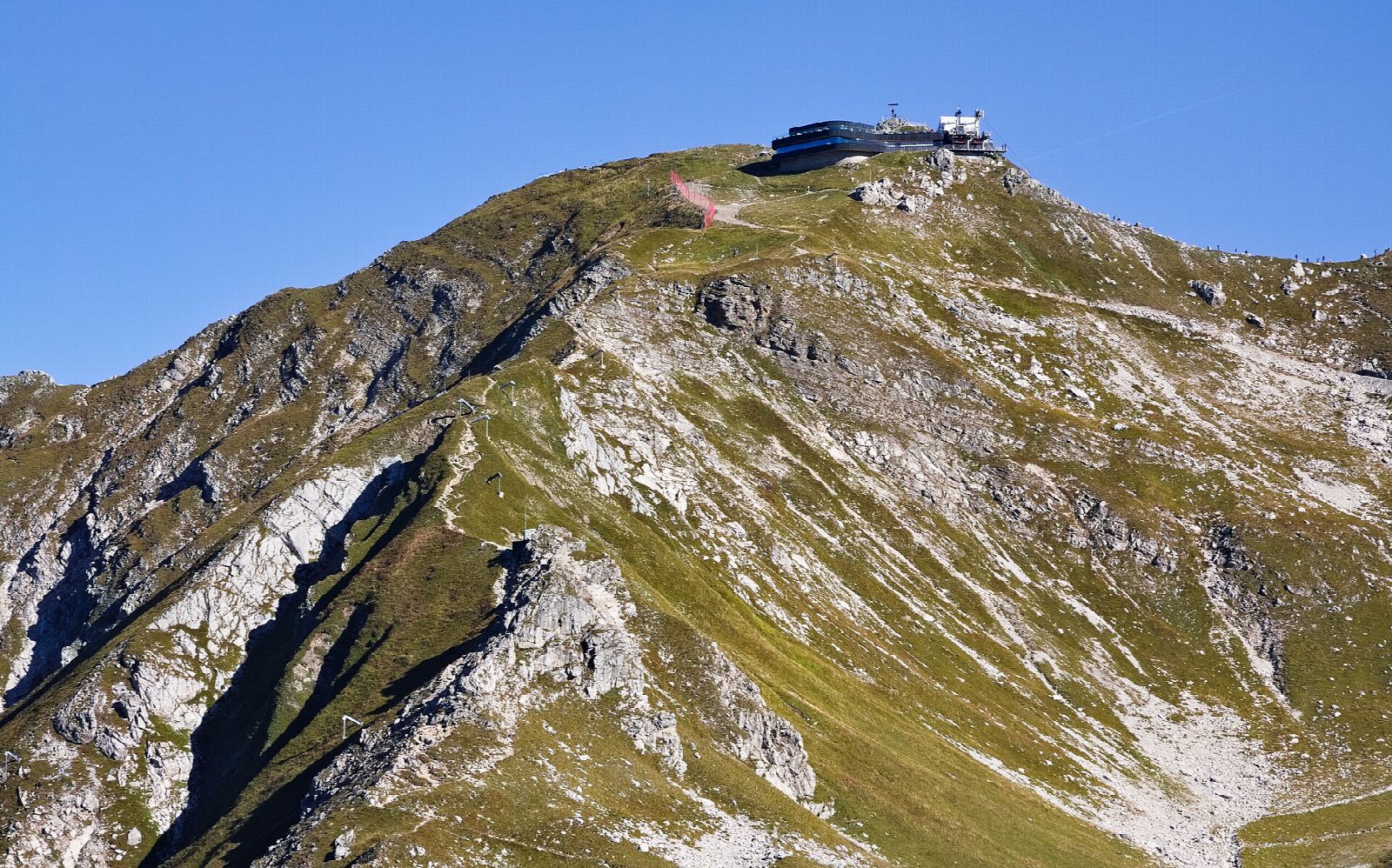
The walk starts at Oberstdorf station, the end of the line, and crosses the town to the valley station of the Nebelhorn cable car. From there it climbs by the Faltenbach valley to the Berggasthof Seealpe, then up the long, very steep service road across the open slopes to the Höfatsblick station and the Edmund-Probst-Haus at 1,927 m. A mountain path leads on up the last 300 m to the summit at 2,224 m. Return the same way.
It is 19.3 km there and back with 1,391 m of ascent; allow about 10 hours. The grade is Strenuous. The ground is not difficult, mostly tracks and tarmac, but the climb is long and relentless.
The summit has one of the widest views in the Allgäu Alps. The cable car stops at Seealpe, Höfatsblick and the top, and most walkers ride down: the operator advises against walking down the steep road between Höfatsblick and Seealpe, which is hard on the knees.
This is a walk for June to October. Snow lies on the upper slopes well into June and returns in autumn, and then the path above the hut is not for walkers. Carry water and clothes for a high mountain. The ridge that starts at the summit is a via ferrata and no part of this walk.
Route drawn by Global Adventurer along OpenStreetMap paths (© OpenStreetMap contributors, ODbL), with figures worked out from it. Check the forecast and the ground on the day: paths change.
Good to know
- A climb of about 1,400 m from the town to a summit of 2,224 m with one of the widest views in the Allgäu Alps
- The Edmund-Probst-Haus stands at the cable car's Höfatsblick station, about 300 m below the top
- The Nebelhornbahn runs from Oberstdorf to the summit in three sections
- Snow lies on the upper slopes well into June
Summits on the way
- Nebelhorn 2,224 m
Getting there
Start: Oberstdorf station. 47.41127, 10.27825
By train: Oberstdorf station is 0.0 km from the start.
Places to stay nearby
Rooms in and around Oberstdorf: Booking.com → Expedia →
Affiliate links: if you book, Global Adventurer earns a small commission at no cost to you.
Paths change, and the weather decides the day. The line and figures come from OpenStreetMap and our own checks; take a map, check the forecast, and turn back if it isn't right.