Line © OpenStreetMap contributors (ODbL), checked by Global Adventurer.
The walk
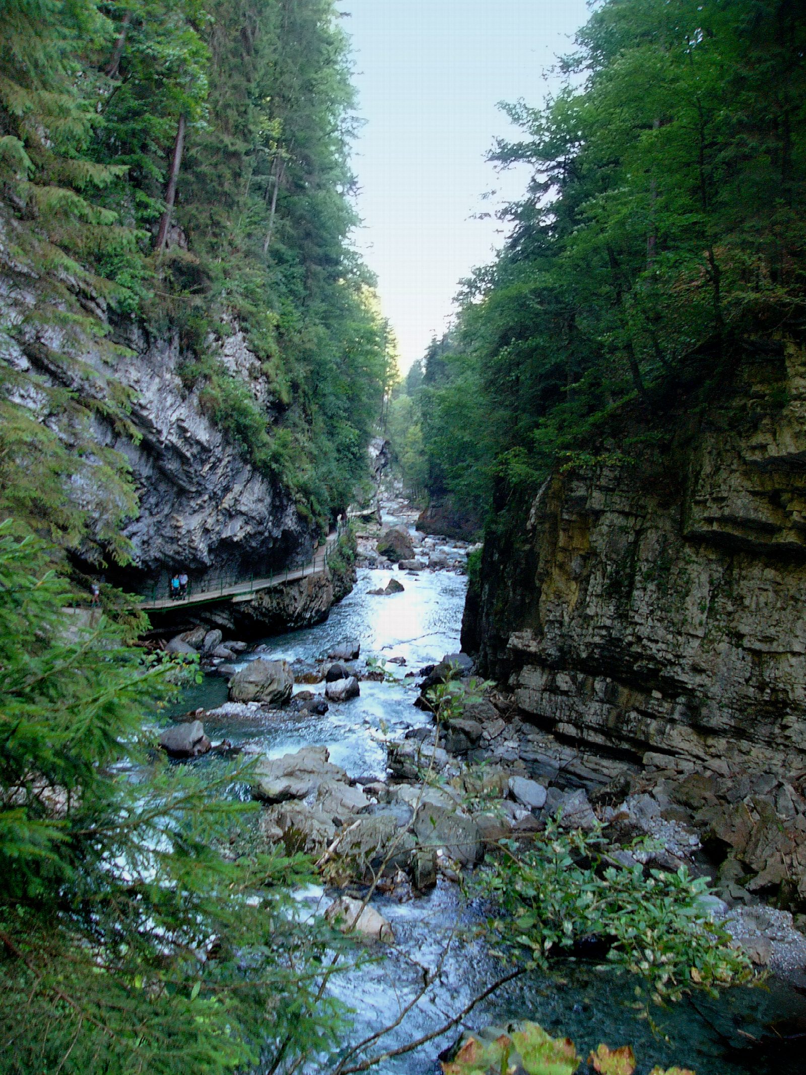
The walk starts from the pay car park at the lower entrance of the Breitachklamm in Tiefenbach, near Oberstdorf. From the ticket office the path runs up the gorge on ledges and galleries cut into walls about 150 m high, close above the Breitach. At the top of the lower gorge about a hundred steps climb to the Zwingsteg, a footbridge high over the narrowest part. The way back leaves the river, climbs through forest and follows a quiet lane past the Alpe Dornach down to the car park.
It is 4.3 km with 162 m of ascent; allow about 1½ hours. The grade is Easy, but the gorge path is wet and slippery and needs proper shoes; it is not for pushchairs.
The gorge was opened to walkers in 1905. Entry cost €9 in 2026 (children €2.50) and parking €5. It opens daily from 9 am, with last entry at 4 pm from early October.
The gorge is closed for most of November and December until Christmas, and again in the spring snowmelt, roughly mid-March to the end of April; it can also close at short notice after heavy rain. In winter it is open and hung with ice. Bus 44 from Oberstdorf stops at the entrance.
Route drawn by Global Adventurer along OpenStreetMap paths (© OpenStreetMap contributors, ODbL), with figures worked out from it. Check the forecast and the ground on the day: paths change.
Good to know
- The Breitach has cut a gorge about 150 m deep; the path through it was opened in 1905
- There is an entrance fee; the gorge closes in the spring snowmelt and for most of November and December until Christmas
- The Zwingsteg footbridge crosses high above the narrowest part
- In winter the gorge is hung with ice
Getting there
Start: Breitachklamm car park, Tiefenbach · Pay and display. 47.40222, 10.22905
Places to stay nearby
Rooms in and around Breitachklamm car park: Booking.com → Expedia →
Affiliate links: if you book, Global Adventurer earns a small commission at no cost to you.
Paths change, and the weather decides the day. The line and figures come from OpenStreetMap and our own checks; take a map, check the forecast, and turn back if it isn't right.
