Line © OpenStreetMap contributors (ODbL), checked by Global Adventurer.
The walk
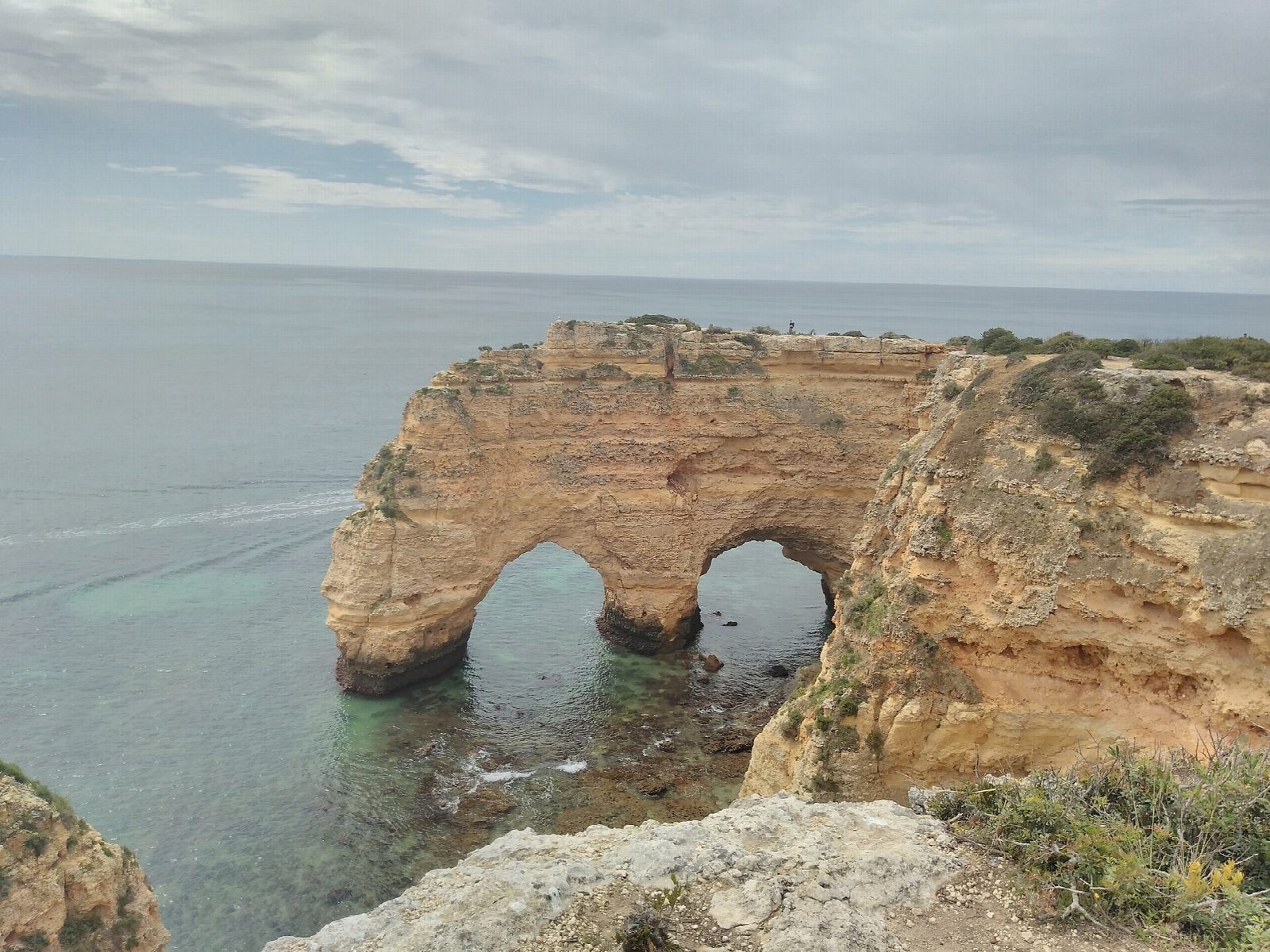
From the Praia da Marinha car park, follow the marked path west along the cliff tops, past sea arches and viewpoints. It dips in and out of short dry valleys whose mouths end high above the sea, passes above the Benagil sea cave and drops through Benagil village, by the fishermen's beach, before climbing back onto the cliffs. Go on west past Praia do Carvalho and inland of the Alfanzina lighthouse, then along the last stretch of cliff to the steps above Praia de Vale Centeanes and the car park on the road.
It is 5.8 km one way with 235 m of ascent and 246 m of descent; allow about 2 hours. The grade is Easy: a clear cliff path with short climbs in and out of the valleys and some steep steps.
Lagoa council recommends spring and autumn and advises against very hot, wet or windy days, as there is almost no shade: carry water. The cliff edges are unfenced, with overhangs and sinkholes (algares) close to the path, so keep to the marked trail and away from the edge, above all in wind.
Both car parks are free. Walk back the same way, or arrange a car or taxi between the ends. Vamus Algarve buses stop at Praia da Marinha and near Vale Centeanes, but services are limited; check the timetable.
Route drawn by Global Adventurer along OpenStreetMap paths (© OpenStreetMap contributors, ODbL), with figures worked out from it. Check the forecast and the ground on the day: paths change.
Good to know
- A cliff-top path along the limestone coast of Lagoa, past arches, stacks and sea caves
- The name comes from short dry valleys whose mouths end high in the cliff face
- The Benagil sea cave lies just below the path; the walk drops through Benagil village
- Buses stop at Praia da Marinha and near Vale Centeanes, but services are limited
Getting there
Start: Praia da Marinha car park. 37.09111, -8.41283
Places to stay nearby
Rooms in and around Estômbar - Lagoa: Booking.com → Expedia →
Affiliate links: if you book, Global Adventurer earns a small commission at no cost to you.
Paths change, and the weather decides the day. The line and figures come from OpenStreetMap and our own checks; take a map, check the forecast, and turn back if it isn't right.