Line © OpenStreetMap contributors (ODbL), checked by Global Adventurer.
The walk
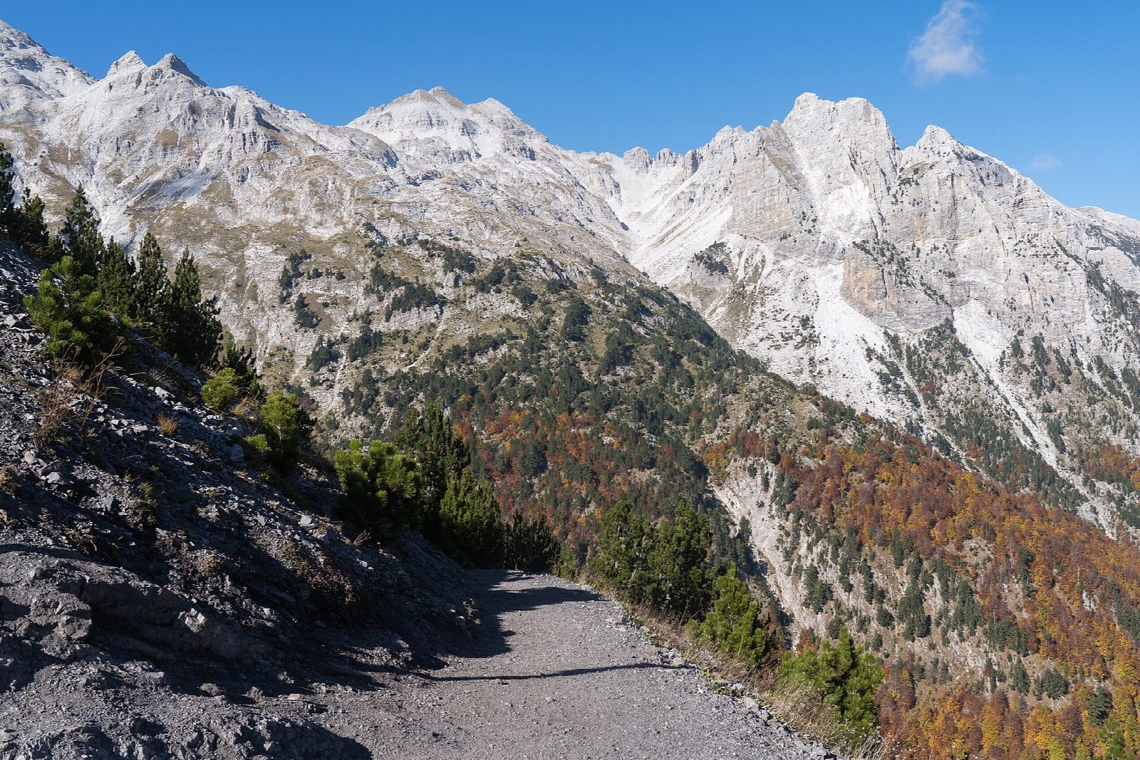
From the end of the road at Rragam in the Valbona valley, the path climbs west through beech forest and up a stony valley, then zigzags up open slopes to the Valbona Pass (Qafa e Valbonës) at 1,795 m, with jagged limestone peaks on both sides. The descent into the Theth valley drops steeply through the forest to the hamlets above the village and on to the centre of Theth.
It is 10.4 km one way with 697 m of ascent and 1,038 m of descent; allow about 5½ hours. The grade is Hard: a steep, rough mountain path, loose and stony in places, especially on the way down.
This is a summer crossing: snow lies on the pass into late spring and returns in late autumn, and the guesthouses that serve walkers in both valleys open only in the summer season. Both valleys are now part of the Alps of Albania National Park, created in 2022.
The two villages are a long drive apart, round by Shkodër, so arrange transport and luggage before you set out; in summer the Komani lake ferry serves the Valbona side.
Route drawn by Global Adventurer along OpenStreetMap paths (© OpenStreetMap contributors, ODbL), with figures worked out from it. Check the forecast and the ground on the day: paths change.
Good to know
- The pass, Qafa e Valbonës, is 1,795 m high and joins the Valbona and Theth valleys
- Both valleys are now part of the Alps of Albania National Park, created in 2022
- From the pass the path drops through beech forest to the scattered farms of Theth
- The two villages are hours apart by road, so most walkers arrange luggage and transport ahead
Getting there
Start: Rragam, Valbona valley. 42.41264, 19.84617
Places to stay nearby
Rooms in and around Rragam: Booking.com → Expedia →
Affiliate links: if you book, Global Adventurer earns a small commission at no cost to you.
Paths change, and the weather decides the day. The line and figures come from OpenStreetMap and our own checks; take a map, check the forecast, and turn back if it isn't right.