Line © OpenStreetMap contributors (ODbL), checked by Global Adventurer.
The hike
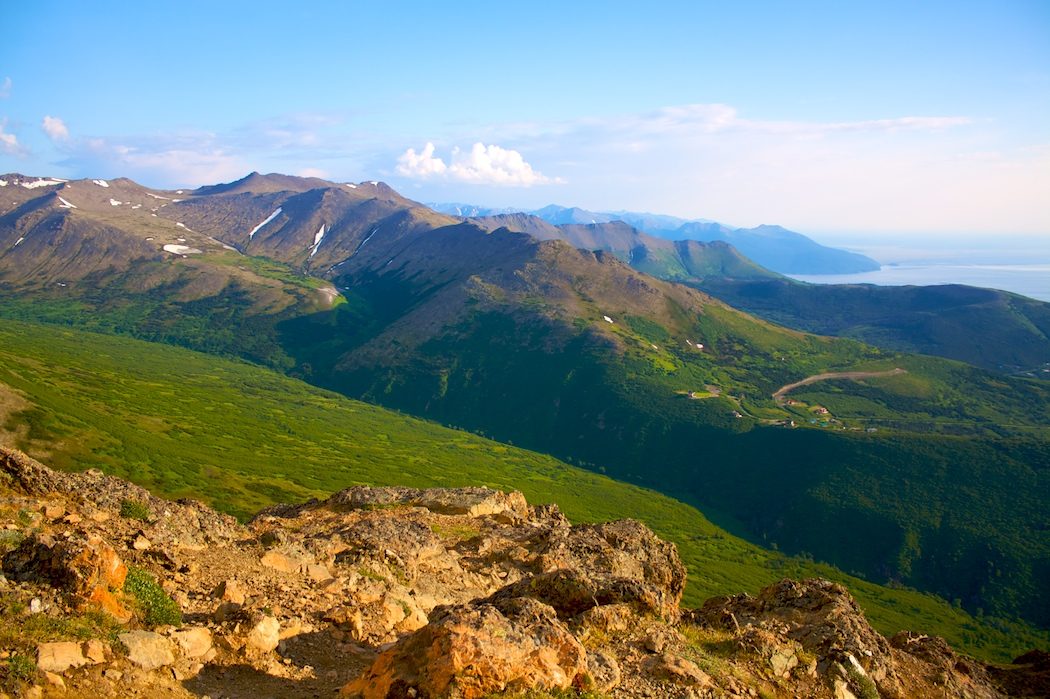
The walk starts at the Glen Alps Trailhead in Chugach State Park, at the top of Toilsome Hill above Anchorage. Take the stairs from the car park and follow the Flattop Trail through a grove of mountain hemlock to the timberline. It passes round Blueberry Knoll, climbs by flights of steps to the saddle at the foot of Flattop, and then goes steeply up through talus. The last stretch is a scramble over rock, marked with paint, onto the wide, flat summit, with Anchorage and Cook Inlet spread out below. Return the same way.
It is 3.2 miles (5.1 km) round trip with 1,300 feet (395 m) of climbing; allow about 2½ hours. The grade is Hard: short, but steep, with a scramble over loose rock at the top.
The scramble is steep and loose, and people above can knock rocks down: take care, and don't linger below others. Falls here have caused injuries and deaths. The summit is often cold and windy, and there is no water on the trail. In winter and spring the slopes are prone to avalanche. Moose and black and brown bears live on the hillside; carry bear spray.
Parking at Glen Alps costs $5 a day, or a state parks pass. In snow or ice the road up to the trailhead can need winter tyres or four-wheel drive.
Route drawn by Global Adventurer along OpenStreetMap paths (© OpenStreetMap contributors, ODbL), with figures worked out from it. Check the forecast and the ground on the day: paths change.
Good to know
- The most-climbed peak in Alaska, looking over Anchorage, Cook Inlet and the Alaska Range
- The last stretch is a scramble over loose rock: watch for stones knocked down by people above
- Chugach State Park charges a daily parking fee at Glen Alps
Summits on the way
- Flattop Mountain 3,510 ft (1,070 m)
Getting there
Start: Glen Alps Trailhead · Parking fee. 61.10306, -149.68413
Places to stay nearby
Rooms in and around Alaska: Booking.com → Expedia →
Affiliate links: if you book, Global Adventurer earns a small commission at no cost to you.
Paths change, and the weather decides the day. The line and figures come from OpenStreetMap and our own checks; take a map, check the forecast, and turn back if it isn't right.
