Line © OpenStreetMap contributors (ODbL), checked by Global Adventurer.
The hike
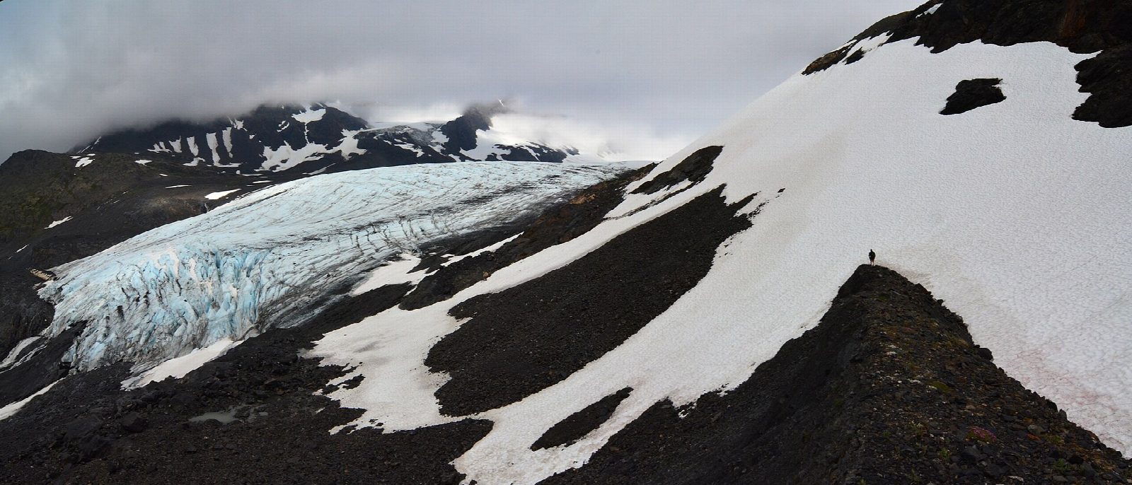
The walk starts at the Crow Pass Trailhead, at the end of Crow Creek Road, above Girdwood. The Crow Pass Trail climbs in switchbacks through brush. Where the way forks, our line keeps to the main trail, which traverses the slopes below Barnes and Jewel mountains; the other fork passes the ruins of the Monarch Mine and rejoins higher up. At about three miles a short side trail leads to Crystal Lake and the Forest Service's Crow Pass Cabin. A little further is Crow Pass, at 3,550 feet, with Raven Glacier just beyond. Return the same way.
It is 6.5 miles (10.5 km) round trip with 2,010 feet (614 m) of climbing; allow about 4½ hours. The grade is Moderate: a steady climb of 2,000 feet into open alpine country.
This is a walk for late June to September. Snow can lie on the trail from October to the middle of June, and the Forest Service warns of avalanche danger from as early as October well into June. Whiteouts are common above the tree line: carry warm, waterproof clothing. Black and brown bears and moose live here. Do not go onto Raven Glacier without crevasse training and equipment.
There is no fee. Crow Creek Road is unpaved, narrow and rough in places. The cabin is let by reservation on recreation.gov from June to October.
Route drawn by Global Adventurer along OpenStreetMap paths (© OpenStreetMap contributors, ODbL), with figures worked out from it. Check the forecast and the ground on the day: paths change.
Good to know
- Past old gold-mine ruins to an alpine pass beside Raven Glacier, on the historic Iditarod Trail
- Snow can cover the upper trail into July, with avalanche danger early in the season
- A Forest Service cabin by Crystal Lake, below the pass, can be booked for the night
Getting there
Start: Crow Pass Trailhead. 61.02843, -149.11542
Places to stay nearby
Rooms in and around Alaska: Booking.com → Expedia →
Affiliate links: if you book, Global Adventurer earns a small commission at no cost to you.
Paths change, and the weather decides the day. The line and figures come from OpenStreetMap and our own checks; take a map, check the forecast, and turn back if it isn't right.