Line © OpenStreetMap contributors (ODbL), checked by Global Adventurer.
The hike
The walk starts at the High Peaks Information Center parking by the Adirondak Loj. Walk about 300 yards to the shore of Heart Lake and a little way along it to the trail register, where the Mount Jo trail begins. A quarter of a mile up, the trail splits. Take the Short Trail on the right, which is steep and rough, with rock steps. The two trails join again just below the top, which is reached by wooden stairs. Come down by the Long Trail, which is gentler and brings you back to the split and the lake.
It is 2.5 miles (4.1 km) around with 620 feet (189 m) of climbing; allow about 1½ hours. The grade is Easy: short, but the Short Trail is a real climb.
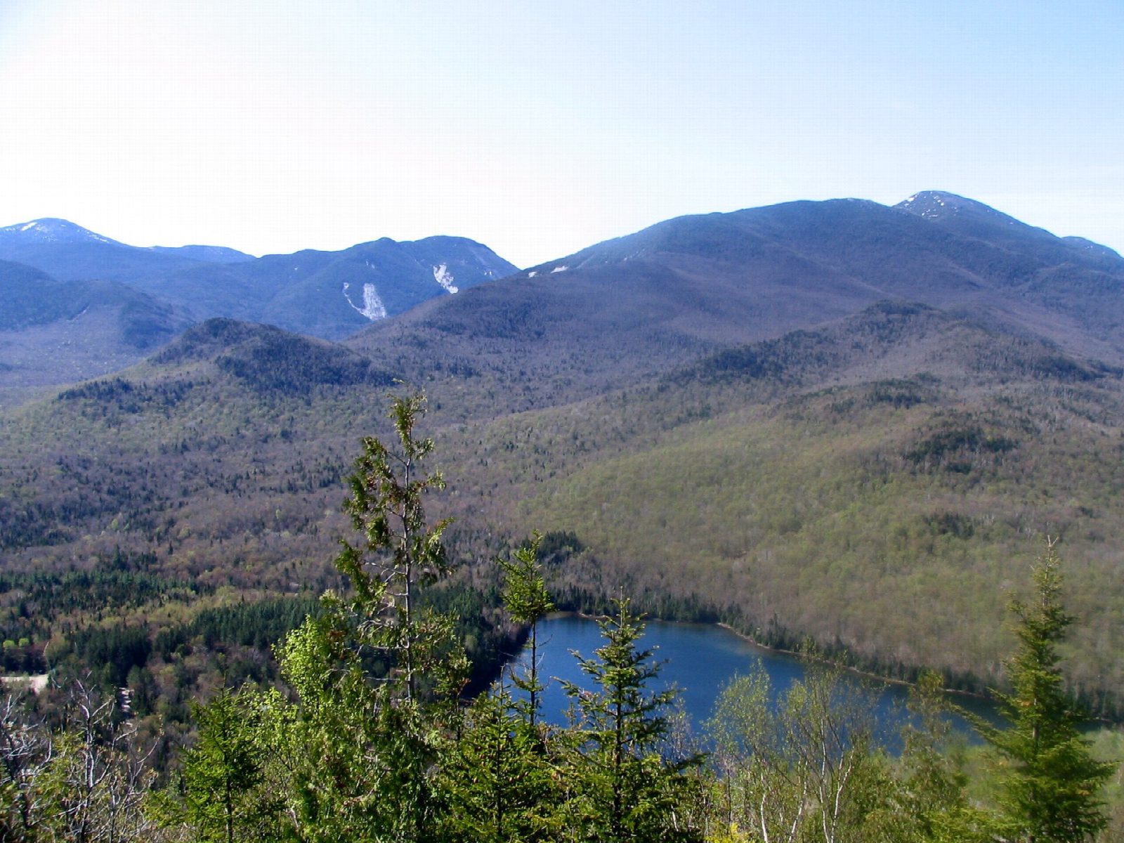
The summit, at 2,876 feet, looks straight across Heart Lake to Algonquin, Colden and Marcy. The Adirondack Mountain Club is rebuilding the Long Trail on a new line: follow the new markers where they differ from your map, and keep off the old, closed sections.
There is a fee to park, and the lots often fill early in summer and at weekends. In winter you need snowshoes, and spikes for the Short Trail.
Route drawn by Global Adventurer along OpenStreetMap paths (© OpenStreetMap contributors, ODbL), with figures worked out from it. Check the forecast and the ground on the day: paths change.
Good to know
- A short, steep climb to a view over Heart Lake and the High Peaks
- A good first Adirondack summit
- Starts from the Adirondak Loj, where parking is charged
Summits on the way
- Mount Jo 2,877 ft (877 m)
Getting there
Start: Adirondak Loj trailhead, Heart Lake · Parking fee. 44.18351, -73.96406
Places to stay nearby
Rooms in and around Adirondak Loj trailhead: Booking.com → Expedia →
Affiliate links: if you book, Global Adventurer earns a small commission at no cost to you.
Paths change, and the weather decides the day. The line and figures come from OpenStreetMap and our own checks; take a map, check the forecast, and turn back if it isn't right.