Line © OpenStreetMap contributors (ODbL), checked by Global Adventurer.
The hike
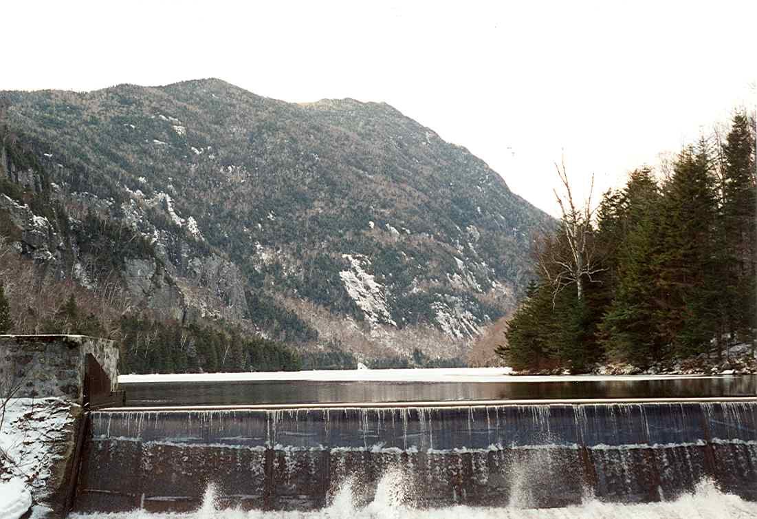
The walk starts at the Adirondack Mountain Reserve hiker parking lot, just off Route 73 at St. Huberts. Walk half a mile up the road past the golf course to the gate house, sign in, and go through the wooden gate onto Lake Road, a private dirt road. Follow it for about 2 miles, then turn left on the Gill Brook Trail, which climbs beside a run of cascades. Higher up, a crossover trail leads to Fish Hawk Cliffs and then on to Indian Head. From Indian Head a steep trail drops to Lake Road near the dam at the foot of Lower Ausable Lake. A short side trail leads to Rainbow Falls. Walk back down Lake Road.
It is 10.3 miles (16.5 km) around with 1,580 feet (482 m) of climbing; allow about 5½ hours. The grade is Moderate: long, with most of the distance on a road and one steep, rough descent.
From May 1 to October 31 you need a reservation to enter, even if you walk in, cycle in or are dropped off. It is free and is booked at hikeamr.org up to two weeks ahead; there are no same-day reservations. The parking lot is open from 5 a.m. to 7 p.m.
Dogs are not allowed anywhere in the reserve, and bikes are not allowed on Lake Road. The cliff tops are unfenced.
Route drawn by Global Adventurer along OpenStreetMap paths (© OpenStreetMap contributors, ODbL), with figures worked out from it. Check the forecast and the ground on the day: paths change.
Good to know
- Indian Head looks straight down Lower Ausable Lake between steep mountain walls
- A free parking reservation is needed May 1 to October 31 (hikeamr.org); no dogs
- Starts with a long walk up the private Lake Road
Summits on the way
- Indian Head 2,667 ft (813 m) · passed close by
Getting there
Start: Adirondack Mountain Reserve hiker parking, St. Huberts · Free parking. 44.14952, -73.76812
Places to stay nearby
Rooms in and around Adirondack Mountain Reserve hiker parking: Booking.com → Expedia →
Affiliate links: if you book, Global Adventurer earns a small commission at no cost to you.
Paths change, and the weather decides the day. The line and figures come from OpenStreetMap and our own checks; take a map, check the forecast, and turn back if it isn't right.
