Line © OpenStreetMap contributors (ODbL), checked by Global Adventurer.
The hike
The walk starts at the Giant Mountain Ridge Trail trailhead on Route 73, just past Chapel Pond, where there are parking areas on both sides of the road. The Ridge Trail, also called the Zander Scott Trail, climbs steeply from the first step. At 0.7 miles there is a lookout over Chapel Pond, and just beyond it the Giant's Washbowl, a small pond under the cliffs. At 1 mile a side trail goes left to Giant's Nubble; keep right. The trail then climbs the ridge over one stretch of open rock after another. The Roaring Brook Trail joins at just over 2 miles, and the last part alternates between moderate and steep to the summit. Return the same way.
It is 5.3 miles (8.6 km) round trip with 2,900 feet (884 m) of climbing; allow about 6 hours. The grade is Hard: short in distance but steep without a break.
The summit stands at 4,627 feet. Much of the ridge is bare rock, exposed to wind and sun and slippery when wet or icy. There is no water above the Washbowl, so carry plenty.
Parking by the road is limited and fills early. Use only the marked parking areas: the state enforces No Parking Zones along Route 73. Watch for fast traffic as you set off.
Route drawn by Global Adventurer along OpenStreetMap paths (© OpenStreetMap contributors, ODbL), with figures worked out from it. Check the forecast and the ground on the day: paths change.
Good to know
- Past the Giant's Washbowl, a small pond under the cliffs
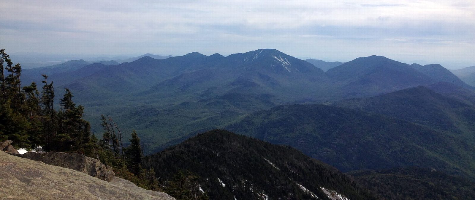
- Open ledges on the Ridge Trail look over Keene Valley and the Great Range
- Steep and sustained; roadside parking on Route 73 is limited
Summits on the way
- Giant Mountain 4,626 ft (1,410 m)
Getting there
Start: Giant Mountain Ridge Trail trailhead, Chapel Pond · Free parking. 44.13816, -73.74371
Places to stay nearby
Rooms in and around Giant Mountain Ridge Trail trailhead: Booking.com → Expedia →
Affiliate links: if you book, Global Adventurer earns a small commission at no cost to you.
Paths change, and the weather decides the day. The line and figures come from OpenStreetMap and our own checks; take a map, check the forecast, and turn back if it isn't right.