Line © OpenStreetMap contributors (ODbL), checked by Global Adventurer.
The hike
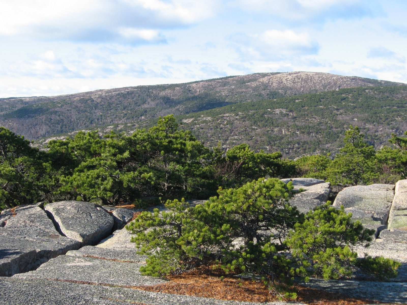
The walk starts at the Precipice Trailhead on the Park Loop Road. The Precipice Trail crosses boulders, then narrow, exposed ledges. At the junction with the Orange and Black Path keep left. Runs of iron rungs and ladders climb the open cliff to the summit of Champlain Mountain. Do not go back down the Precipice. Take the Champlain North Ridge Trail, and after 0.6 miles turn right on the Orange and Black Path. At the foot of a stone staircase the path splits: go left, down to the Park Loop Road. Our line crosses it and returns by the Schooner Head Path and Murphy Lane, both footpaths; or turn right and walk back along the road.
It is 2.5 miles (4.1 km) around with 1,000 feet (305 m) of climbing; allow about 2 hours. The grade is Hard: a climb, not a walk, though it needs no ropes.
The park does not recommend it for small children, for anyone afraid of heights, or for anyone in wet weather. Pets are not allowed.
The trail and its parking lot are closed every year from March 1 while peregrine falcons nest on the cliff, usually into late summer. A park entrance pass is needed ($35 a vehicle for a week; non-US residents pay $100 each more without an annual pass).
Route drawn by Global Adventurer along OpenStreetMap paths (© OpenStreetMap contributors, ODbL), with the distance and time worked out from it. The climb is the published figure: height data cannot be trusted on this ground. Check the forecast and the ground on the day: paths change.
Good to know
- Iron rungs, ladders and narrow ledges up the east face: not for anyone uneasy with drops
- Usually closed from spring into August while peregrine falcons nest
- Never go down the Precipice: descend by the North Ridge and the Orange & Black Path
Summits on the way
- Champlain Mountain 1,060 ft (323 m)
Getting there
Start: Precipice Trailhead, Park Loop Road · Free parking. 44.34949, -68.18791
Places to stay nearby
Rooms in and around Precipice Trailhead: Booking.com → Expedia →
Affiliate links: if you book, Global Adventurer earns a small commission at no cost to you.
Paths change, and the weather decides the day. The line and figures come from OpenStreetMap and our own checks; take a map, check the forecast, and turn back if it isn't right.
