Line © OpenStreetMap contributors (ODbL), checked by Global Adventurer.
The hike
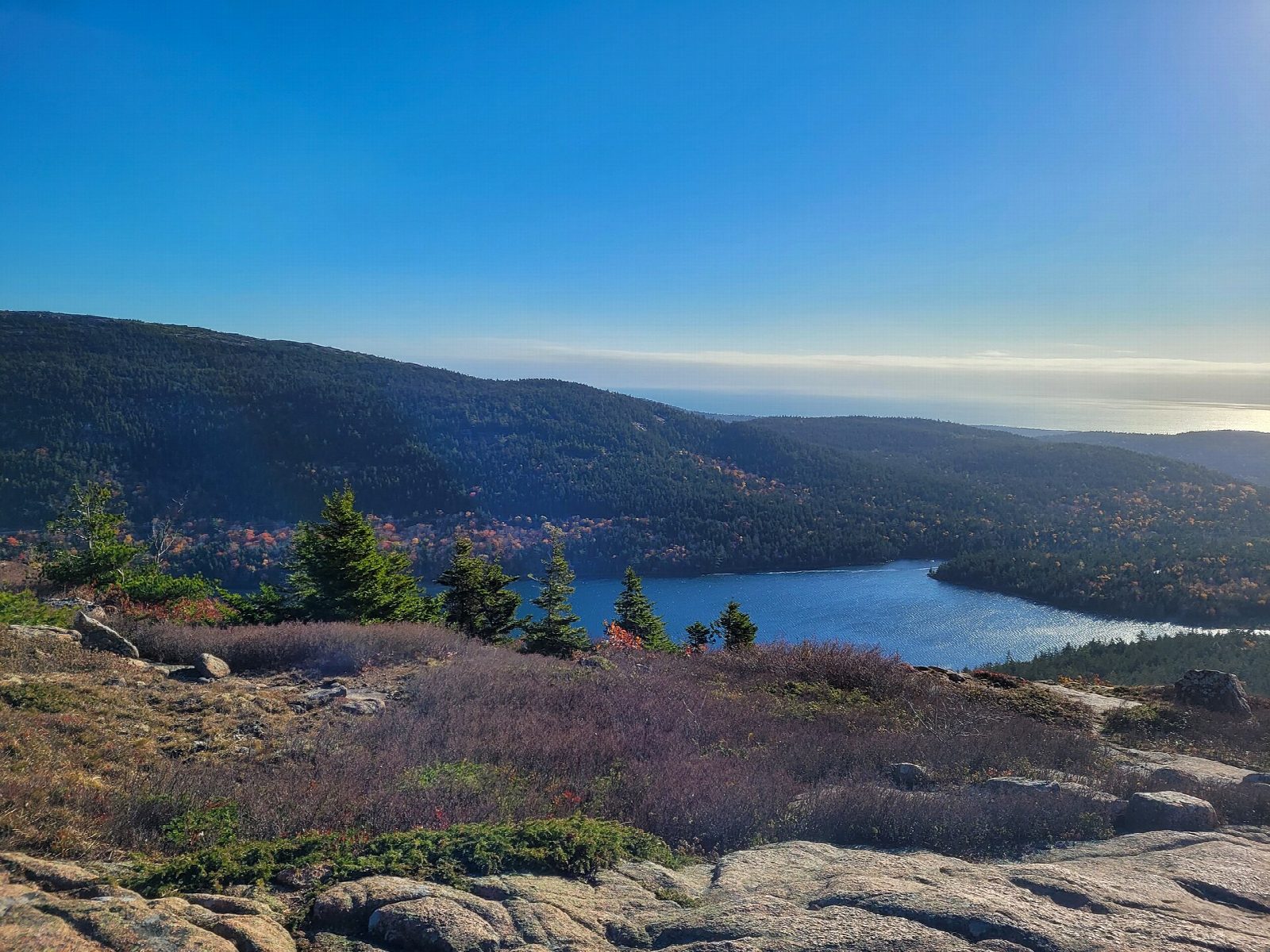
The walk starts at Jordan Pond House. Follow the path west across the carriage road to the Spring Trail, which begins beyond a small wooden footbridge. It climbs very steeply up the side of Penobscot Mountain, with iron rungs and wooden rails where you need both hands. At the top turn right on the Penobscot Mountain Trail and follow the cairns up open granite to the summit of Penobscot. The trail then drops steeply to Sargent Mountain Pond, and the Sargent South Ridge Trail climbs the bare dome of Sargent Mountain. Return the same way.
It is 4.9 miles (7.9 km) round trip with 1,220 feet (371 m) of climbing; allow about 3 hours. The grade is Easy on our scale, which goes by time, but the Spring Trail is a hands-on scramble that has to be climbed down again at the end.
Most of the route is on open rock, with no shelter from wind, sun or lightning. In fog the cairns are hard to follow; turn back if you lose them. The Spring Trail is no place for a dog.
The Jordan Pond car parks fill early in summer and autumn. The fare-free Island Explorer bus stops here from mid-June to October. A park entrance pass is needed ($35 a vehicle for a week; non-US residents pay $100 each more without an annual pass).
Route drawn by Global Adventurer along OpenStreetMap paths (© OpenStreetMap contributors, ODbL), with figures worked out from it. Check the forecast and the ground on the day: paths change.
Good to know
- Sargent Mountain is the second-highest summit in Acadia
- Sargent Mountain Pond is a small glacial tarn in the saddle between the peaks
- Mostly open granite: follow the cairns and turn back in fog
Summits on the way
- Penobscot Mountain 1,181 ft (360 m)
- Sargent Mountain 1,375 ft (419 m)
Getting there
Start: Jordan Pond House · Free parking. 44.31979, -68.25384
Places to stay nearby
Rooms in and around Acadia: Booking.com → Expedia →
Affiliate links: if you book, Global Adventurer earns a small commission at no cost to you.
Paths change, and the weather decides the day. The line and figures come from OpenStreetMap and our own checks; take a map, check the forecast, and turn back if it isn't right.
