The line is OpenStreetMap's mapping of the route (© OpenStreetMap contributors, ODbL), via Waymarked Trails, with heights from a 30 m terrain model. Check the current official route before a long trip: diversions and permitted paths change. See the source.
The trail
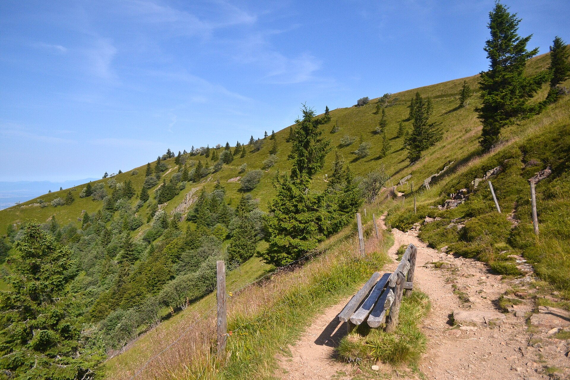
One of Germany's oldest long trails, the length of the Black Forest from Pforzheim to Basel on the Rhine; this line takes the western variant over the Feldberg and the Belchen. It runs on forest paths and over open heights with views to the Vosges and, on clear days, the Alps, with inns and hotels at every stage end; the high southern section is best from May to October.
Stages
A suggested split into 12 days of about 24 km (15 mi). Each day ends at the town or village on the way nearest to an equal share of the distance, or at a hotel or hostel where there is none. These are not the official stages: check where you can stay before you book.
- Day 1 Pforzheim to Dobel 26 km · 26 km from the start
- Day 2 Dobel to Forbach 27 km · 53 km from the start
- Day 3 Forbach to Unterstmatt 19.0 km · 72 km from the start
- Day 4 Unterstmatt to Alexanderschanze 28 km · 99 km from the start
- Day 5 Alexanderschanze to Hark 16.8 km · 116 km from the start
- Day 6 Hark to Hausach 15.8 km · 132 km from the start
- Day 7 Hausach to Wilhelmshöhe 21 km · 152 km from the start
- Day 8 Wilhelmshöhe to Kalte Herberge 22 km · 175 km from the start
- Day 9 Kalte Herberge to Hinterzarten 25 km · 199 km from the start
- Day 10 Hinterzarten to Wiedener Eck 27 km · 227 km from the start
- Day 11 Wiedener Eck to Kandern 32 km · 259 km from the start
- Day 12 Kandern to Basel 26 km · 285 km from the start
Summits on the way
- Hornisgrinde 1,164 m · 75 km from the start
- Weißtannenhöhe 1,191 m · 189 km from the start
- Feldberg 1,494 m · 212 km from the start
- Stübenwasen 1,389 m · 215 km from the start
- Neustützkopf 1,258 m · 218 km from the start
- Wiedener Hörnle 1,187 m · 224 km from the start
- Heidstein 1,274 m · 230 km from the start
- Belchen 1,414 m · 233 km from the start
- Hohe Kelch 1,264 m · 235 km from the start
- Blauen 1,165 m · 249 km from the start
The listed hills and the highest of 36 tops within 300 m of the line. The app shows them all. Summits from OpenStreetMap.
Start and finish
Start: near Pforzheim, Baden-Württemberg. 48.87710, 8.69906
Finish: near Basel, Basel-City. 47.56739, 7.60681
Places to stay
Rooms in the towns and villages along the way:
- Pforzheim, Baden-Württemberg · The start Booking.com → Expedia →
- Dobel, Landkreis Calw · After day 1 Booking.com → Expedia →
- Forbach, Landkreis Rastatt · After day 2 Booking.com → Expedia →
- Unterstmatt, Landkreis Rastatt · After day 3 Booking.com → Expedia →
- Alexanderschanze, Landkreis Freudenstadt · After day 4 Booking.com → Expedia →
- Hark, Ortenaukreis · After day 5 Booking.com → Expedia →
- Hausach, Ortenaukreis · After day 6 Booking.com → Expedia →
- Wilhelmshöhe, Schwarzwald-Baar-Kreis · After day 7 Booking.com → Expedia →
- Kalte Herberge, Schwarzwald-Baar-Kreis · After day 8 Booking.com → Expedia →
- Hinterzarten, Landkreis Breisgau-Hochschwarzwald · After day 9 Booking.com → Expedia →
- Wiedener Eck, Landkreis Lörrach · After day 10 Booking.com → Expedia →
- Kandern, Landkreis Lörrach · After day 11 Booking.com → Expedia →
- Basel, Basel-City · The finish Booking.com → Expedia →
Affiliate links: if you book, Global Adventurer earns a small commission at no cost to you.
Paths change, and the weather decides the day. The line comes from the source named under the map and the heights from a terrain model, so treat the figures as a guide. Check for diversions before you go, take a map, check the forecast, and turn back if it isn't right.


