The line is OpenStreetMap's mapping of the route (© OpenStreetMap contributors, ODbL), via Waymarked Trails, with heights from a 30 m terrain model. Check the current official route before a long trip: diversions and permitted paths change. See the source.
The route
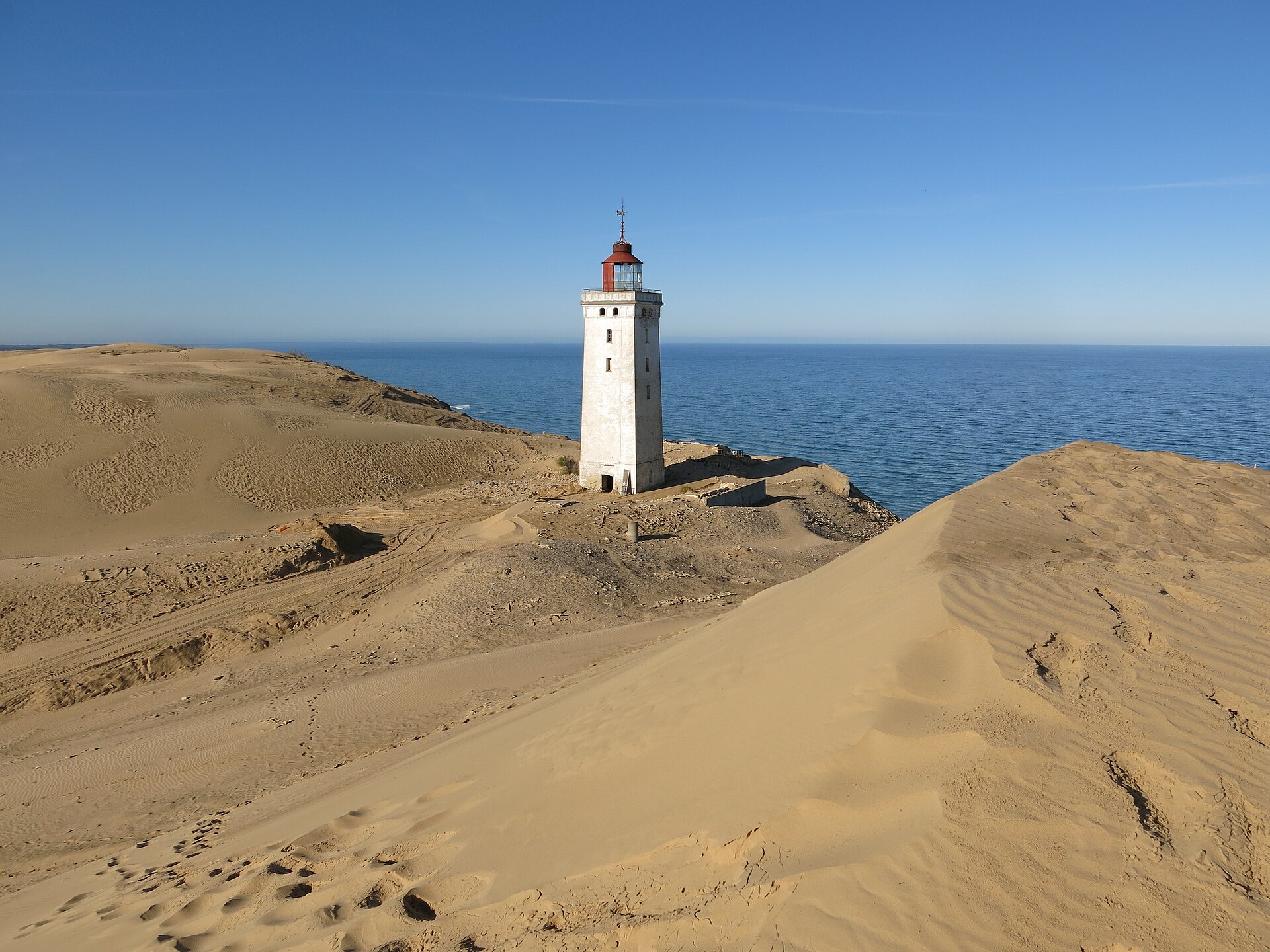
Denmark's national cycle route 1 runs about 560 km up the west coast of Jutland from Rudbøl on the German border to Skagen at its northern tip: through the marshes of the Wadden Sea National Park by Ribe, along the narrow spits between the North Sea and the fjords at Hvide Sande, across the mouth of the Limfjord, through Thy National Park and past the dunes of Rubjerg Knude. About 70% is asphalt and the rest gravel and sand tracks, and the wind off the North Sea is the main obstacle.
Stages
A suggested split into 8 days of about 70 km (44 mi). Each day ends at the town or village on the way nearest to an equal share of the distance, or at a hotel or hostel where there is none. These are not the official stages: check where you can stay before you book.
- Day 1 Rudbøl to Ribe 67 km · 67 km from the start
- Day 2 Ribe to Oksbøl 60 km · 126 km from the start
- Day 3 Oksbøl to Søndervig 78 km · 204 km from the start
- Day 4 Søndervig to Vrist 65 km · 270 km from the start
- Day 5 Vrist to Klitmøller 74 km · 344 km from the start
- Day 6 Klitmøller to Slettestrand 78 km · 421 km from the start
- Day 7 Slettestrand to Lønstrup 59 km · 480 km from the start
- Day 8 Lønstrup to Skagen 81 km · 561 km from the start
Start and finish
Start: near Rudbøl, Region of Southern Denmark. 54.89678, 8.75033
Finish: near Skagen, North Denmark Region. 57.73858, 10.63413
Places to stay
Rooms in the towns and villages along the way:
- Rudbøl, Region of Southern Denmark · The start Booking.com → Expedia →
- Ribe, Region of Southern Denmark · After day 1 Booking.com → Expedia →
- Oksbøl, Region of Southern Denmark · After day 2 Booking.com → Expedia →
- Søndervig, Central Denmark Region · After day 3 Booking.com → Expedia →
- Vrist, Central Denmark Region · After day 4 Booking.com → Expedia →
- Klitmøller, North Denmark Region · After day 5 Booking.com → Expedia →
- Slettestrand, North Denmark Region · After day 6 Booking.com → Expedia →
- Lønstrup, North Denmark Region · After day 7 Booking.com → Expedia →
- Skagen, North Denmark Region · The finish Booking.com → Expedia →
Affiliate links: if you book, Global Adventurer earns a small commission at no cost to you.
Roads and paths change, and surfaces vary with the weather. The line comes from the source named under the map and the heights from a terrain model, so treat the figures as a guide. Check for diversions before you go, ride to what you find, and give way to walkers and horses.
