The line is OpenStreetMap's mapping of the route (© OpenStreetMap contributors, ODbL), via Waymarked Trails, with heights from a 30 m terrain model. Check the current official route before a long trip: diversions and permitted paths change. See the source.
The trail
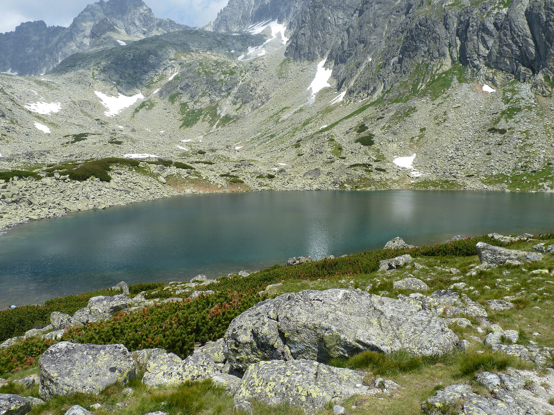
The red-marked traverse of the southern side of the High Tatras at hut level, from Podbanské past Štrbské Pleso, Popradské pleso, Sliezsky dom, Skalnaté pleso and Zelené pleso to the lake of Veľké Biele pleso, from where a path leads down to Tatranská Kotlina. Book the mountain huts ahead in summer and keep to the marked paths; the national park closes its higher paths from 1 November to 15 June, including the stretch between Popradské pleso and Sliezsky dom.
Stages
A suggested split into 3 days of about 16.7 km (10.4 mi). Each day ends at the town or village on the way nearest to an equal share of the distance, or at a hotel or hostel where there is none. These are not the official stages: check where you can stay before you book.
- Day 1 Podbanské to Popradské pleso 19.8 km · 19.8 km from the start
- Day 2 Popradské pleso to Zamkovského chata 18.7 km · 39 km from the start
- Day 3 Zamkovského chata to Veľké Biele pleso 11.6 km · 50 km from the start
Summits on the way
- Zadná Ostrva · 21 km from the start
- Ostrva 1,984 m · 22 km from the start
- Tupý hrb 2,179 m · 23 km from the start
- Klin 2,183 m · 23 km from the start
- Suchý vrch 1,792 m · 27 km from the start
Tops within 300 m of the line. Summits from OpenStreetMap.
Start and finish
Start: near Podbanské, Region of Žilina. 49.14268, 19.90268
Finish: near Veľké Biele pleso, District of Poprad. 49.22936, 20.22016
Places to stay
Rooms in the towns and villages along the way:
- Podbanské, Region of Žilina · The start Booking.com → Expedia →
- Popradské pleso, District of Poprad · After day 1 Booking.com → Expedia →
- Zamkovského chata, District of Poprad · After day 2 Booking.com → Expedia →
- Veľké Biele pleso, District of Poprad · The finish Booking.com → Expedia →
Affiliate links: if you book, Global Adventurer earns a small commission at no cost to you.
Paths change, and the weather decides the day. The line comes from the source named under the map and the heights from a terrain model, so treat the figures as a guide. Check for diversions before you go, take a map, check the forecast, and turn back if it isn't right.