The line is OpenStreetMap's mapping of the route (© OpenStreetMap contributors, ODbL), via Waymarked Trails, with heights from a 30 m terrain model. Check the current official route before a long trip: diversions and permitted paths change. See the source.
The trail
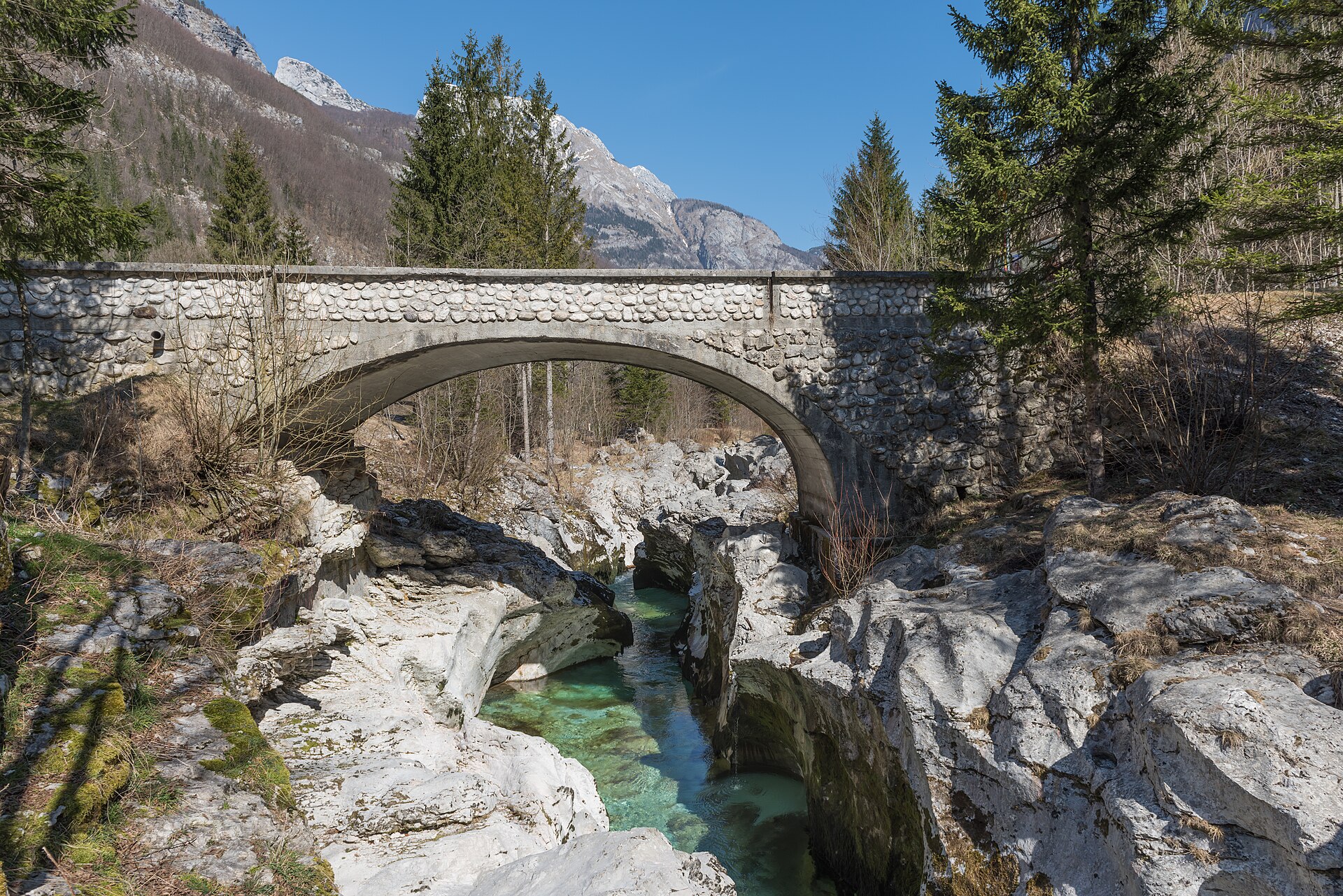
The Soča Trail follows the emerald Soča from its source in the Trenta valley down to Bovec, through Triglav National Park, crossing the river on footbridges past gorges and deep green pools. It is an easy valley walk on forest paths, split here at the village of Soča into two short days; the line starts at the Koča pri izviru Soče hut, not at the spring above it, which is reached by a short path protected with cables.
Stages
A suggested split into 2 days of about 13.2 km (8.2 mi). Each day ends at the town or village on the way nearest to an equal share of the distance, or at a hotel or hostel where there is none. These are not the official stages: check where you can stay before you book.
- Day 1 Koča pri izviru Soče to Soča 14.5 km · 14.5 km from the start
- Day 2 Soča to Bovec 11.9 km · 26 km from the start
Summits on the way
- Vršič nad Logom 717 m · 4.7 km from the start
- Glava 523 m · 16.2 km from the start
- Stržišče 486 m · 25 km from the start
Tops within 300 m of the line. Summits from OpenStreetMap.
Start and finish
Start: near Koča pri izviru Soče. 46.40956, 13.72537
Finish: near Bovec. 46.33796, 13.55247
Places to stay
Rooms in the towns and villages along the way:
- Koča pri izviru Soče · The start Booking.com → Expedia →
- Soča · After day 1 Booking.com → Expedia →
- Bovec · The finish Booking.com → Expedia →
Affiliate links: if you book, Global Adventurer earns a small commission at no cost to you.
Paths change, and the weather decides the day. The line comes from the source named under the map and the heights from a terrain model, so treat the figures as a guide. Check for diversions before you go, take a map, check the forecast, and turn back if it isn't right.
