The line is OpenStreetMap's mapping of the route (© OpenStreetMap contributors, ODbL), via Waymarked Trails, with heights from a 30 m terrain model. Check the current official route before a long trip: diversions and permitted paths change. See the source.
The route
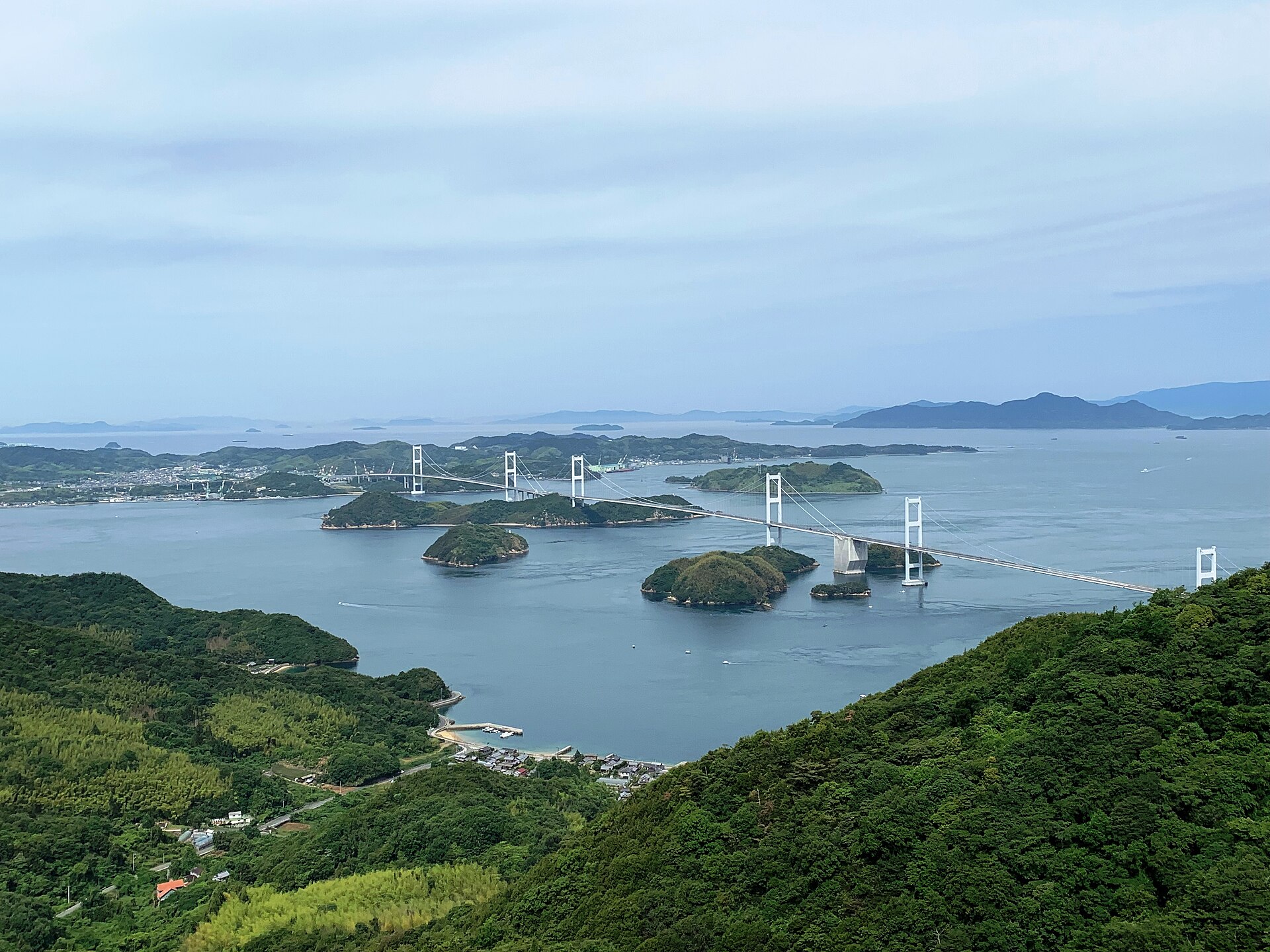
Japan's best-known cycle route crosses the Seto Inland Sea from Onomichi in Hiroshima Prefecture to Imabari on Shikoku, hopping over six islands, Mukaishima, Innoshima, Ikuchijima, Omishima, Hakatajima and Oshima, on the expressway bridges' own cycle lanes, and finishing over the 4 km Kurushima-Kaikyō Bridge. A blue line on the road marks the way, about 70 km; it can be ridden in a day, though many take two and stop on the islands.
Start and finish
Start: near Onomichi, Hiroshima Prefecture. 34.39596, 133.19802
Finish: near Imabari, Ehime Prefecture. 34.10942, 132.97845
Places to stay
Rooms in the towns and villages along the way:
- Onomichi, Hiroshima Prefecture · The start Booking.com → Expedia →
- Imabari, Ehime Prefecture · The finish Booking.com → Expedia →
Affiliate links: if you book, Global Adventurer earns a small commission at no cost to you.
Roads and paths change, and surfaces vary with the weather. The line comes from the source named under the map and the heights from a terrain model, so treat the figures as a guide. Check for diversions before you go, ride to what you find, and give way to walkers and horses.

