The line is OpenStreetMap's mapping of the route (© OpenStreetMap contributors, ODbL), via Waymarked Trails, with heights from a 30 m terrain model. Check the current official route before a long trip: diversions and permitted paths change. See the source.
The route
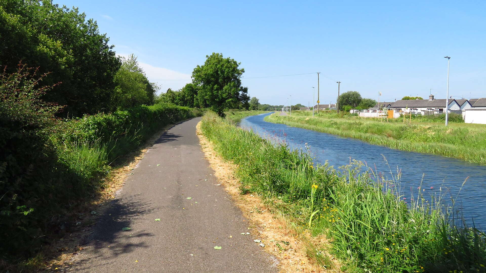
Ireland's longest greenway follows the Royal Canal towpath for about 130 km from Maynooth in County Kildare to Cloondara in County Longford, where the canal meets the Shannon. It is flat and almost entirely traffic-free, past locks, harbours and aqueducts at Kilcock, Enfield, Mullingar and Abbeyshrule, and the Dublin–Sligo railway runs close by for much of the way.
Stages
A suggested split into 2 days of about 61 km (38 mi). Each day ends at the town or village on the way nearest to an equal share of the distance, or at a hotel or hostel where there is none. These are not the official stages: check where you can stay before you book.
- Day 1 Maynooth to Ballinea 66 km · 66 km from the start
- Day 2 Ballinea to Cloondara 55 km · 121 km from the start
Start and finish
Start: near Maynooth, County Kildare. 53.37901, -6.59082
Finish: near Cloondara, County Longford. 53.73127, -7.90562
Places to stay
Rooms in the towns and villages along the way:
- Maynooth, County Kildare · The start Booking.com → Expedia →
- Ballinea, County Westmeath · After day 1 Booking.com → Expedia →
- Cloondara, County Longford · The finish Booking.com → Expedia →
Affiliate links: if you book, Global Adventurer earns a small commission at no cost to you.
Roads and paths change, and surfaces vary with the weather. The line comes from the source named under the map and the heights from a terrain model, so treat the figures as a guide. Check for diversions before you go, ride to what you find, and give way to walkers and horses.


