The line is OpenStreetMap's mapping of the route (© OpenStreetMap contributors, ODbL), via Waymarked Trails, with heights from a 30 m terrain model. Check the current official route before a long trip: diversions and permitted paths change. See the source.
The trail
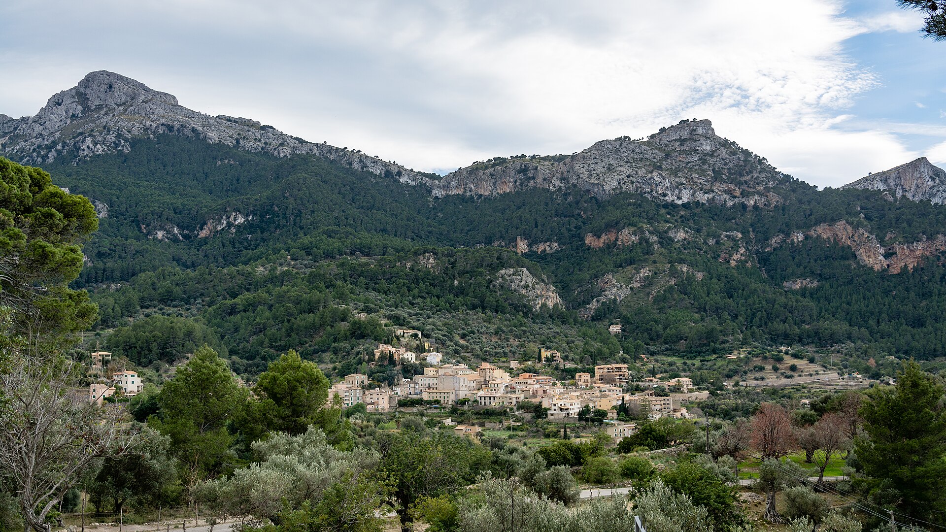
Mallorca's long trail through the Serra de Tramuntana, on old cobbled mule tracks between dry-stone terraces, from La Trapa above Sant Elm to Port de Pollença by Estellencs, Deià, Sóller and Lluc. The island council runs refuges at most stage ends, from Can Boi in Deià to Pont Romà in Pollença, and they take bookings online; spring and autumn are the seasons, as summer is hot and dry. The official route begins at Port d'Andratx, but that first stage to Sant Elm is not in OpenStreetMap's line.
Stages
A suggested split into 8 days of about 16.9 km (10.5 mi). Each day ends at the town or village on the way nearest to an equal share of the distance, or at a hotel or hostel where there is none. These are not the official stages: check where you can stay before you book.
- Day 1 La Trapa to Estellencs 22 km · 22 km from the start
- Day 2 Estellencs to Esporles 14.3 km · 37 km from the start
- Day 3 Esporles to Refugi de Can Boi 23 km · 60 km from the start
- Day 4 Refugi de Can Boi to Refugi de Muleta 10.0 km · 70 km from the start
- Day 5 Refugi de Muleta to Refugi de Tossals Verds 27 km · 97 km from the start
- Day 6 Refugi de Tossals Verds to Refugi de Son Amer 14.8 km · 112 km from the start
- Day 7 Refugi de Son Amer to Refugi del Pont Romà 16.9 km · 129 km from the start
- Day 8 Refugi del Pont Romà to Port de Pollença 6.8 km · 136 km from the start
Summits on the way
- Puntals de la Trapa 459 m · 0.6 km from the start
- Puig de ses Basses 492 m · 1.7 km from the start
- Putxet des Guixers 342 m · 3.5 km from the start
- sa Roca Blanca 401 m · 3.7 km from the start
- es Putxol 570 m · 97 km from the start
- Puig de ses Bassetes 1,212 m · 103 km from the start
Tops within 300 m of the line. Summits from OpenStreetMap.
Start and finish
Start: near La Trapa, Serra de Tramuntana. 39.59946, 2.36101
Finish: near Port de Pollença, Serra de Tramuntana. 39.90635, 3.08269
Places to stay
Rooms in the towns and villages along the way:
- La Trapa, Serra de Tramuntana · The start Booking.com → Expedia →
- Estellencs, Serra de Tramuntana · After day 1 Booking.com → Expedia →
- Esporles, Serra de Tramuntana · After day 2 Booking.com → Expedia →
- Refugi de Can Boi, Serra de Tramuntana · After day 3 Booking.com → Expedia →
- Refugi de Muleta, Serra de Tramuntana · After day 4 Booking.com → Expedia →
- Refugi de Tossals Verds, Serra de Tramuntana · After day 5 Booking.com → Expedia →
- Refugi de Son Amer, Serra de Tramuntana · After day 6 Booking.com → Expedia →
- Refugi del Pont Romà, Serra de Tramuntana · After day 7 Booking.com → Expedia →
- Port de Pollença, Serra de Tramuntana · The finish Booking.com → Expedia →
Affiliate links: if you book, Global Adventurer earns a small commission at no cost to you.
Paths change, and the weather decides the day. The line comes from the source named under the map and the heights from a terrain model, so treat the figures as a guide. Check for diversions before you go, take a map, check the forecast, and turn back if it isn't right.


