The line is OpenStreetMap's mapping of the route (© OpenStreetMap contributors, ODbL), via Waymarked Trails, with heights from a 30 m terrain model. Check the current official route before a long trip: diversions and permitted paths change. See the source.
The route
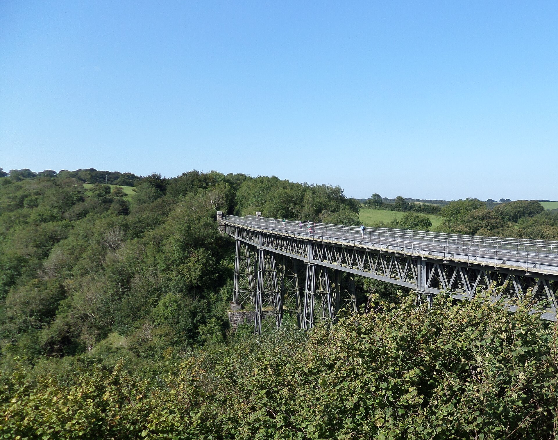
National Cycle Route 27 crosses Devon from Ilfracombe on the Bristol Channel to Plymouth Sound, 99 miles mostly on old railway lines: the Tarka Trail beside the Taw and Torridge estuaries, the Granite Way along the north-west edge of Dartmoor and over Meldon Viaduct, and Drake's Trail down to Plymouth. About 70 miles are traffic-free; the rest is quiet lanes, with some steep climbs between the trails. Most people ride it in two or three days.
Stages
A suggested split into 3 days of about 53 km (33 mi). Each day ends at the town or village on the way nearest to an equal share of the distance, or at a hotel or hostel where there is none. These are not the official stages: check where you can stay before you book.
- Day 1 Ilfracombe to Bideford 44 km · 44 km from the start
- Day 2 Bideford to Okehampton 52 km · 96 km from the start
- Day 3 Okehampton to Plymouth 64 km · 160 km from the start
Summits on the way
- Lantern Hill · 0.0 km from the start
- Capstone Hill · 1.0 km from the start
- Furze Hill · 4.0 km from the start
- Pickwell Down 198 m · 11.0 km from the start
- Longtimber Tor 165 m · 121 km from the start
Tops within 300 m of the line. Summits from OpenStreetMap.
Start and finish
Start: near Ilfracombe, Devon. 51.21050, -4.11366
Finish: near Plymouth, England. 50.36422, -4.14096
Places to stay
Rooms in the towns and villages along the way:
- Ilfracombe, Devon · The start Booking.com → Expedia →
- Bideford, Devon · After day 1 Booking.com → Expedia →
- Okehampton, Devon · After day 2 Booking.com → Expedia →
- Plymouth, England · The finish Booking.com → Expedia →
Affiliate links: if you book, Global Adventurer earns a small commission at no cost to you.
Roads and paths change, and surfaces vary with the weather. The line comes from the source named under the map and the heights from a terrain model, so treat the figures as a guide. Check for diversions before you go, ride to what you find, and give way to walkers and horses.


