The line is OpenStreetMap's mapping of the route (© OpenStreetMap contributors, ODbL), via Waymarked Trails, with heights from a 30 m terrain model. Check the current official route before a long trip: diversions and permitted paths change. See the source.
The route
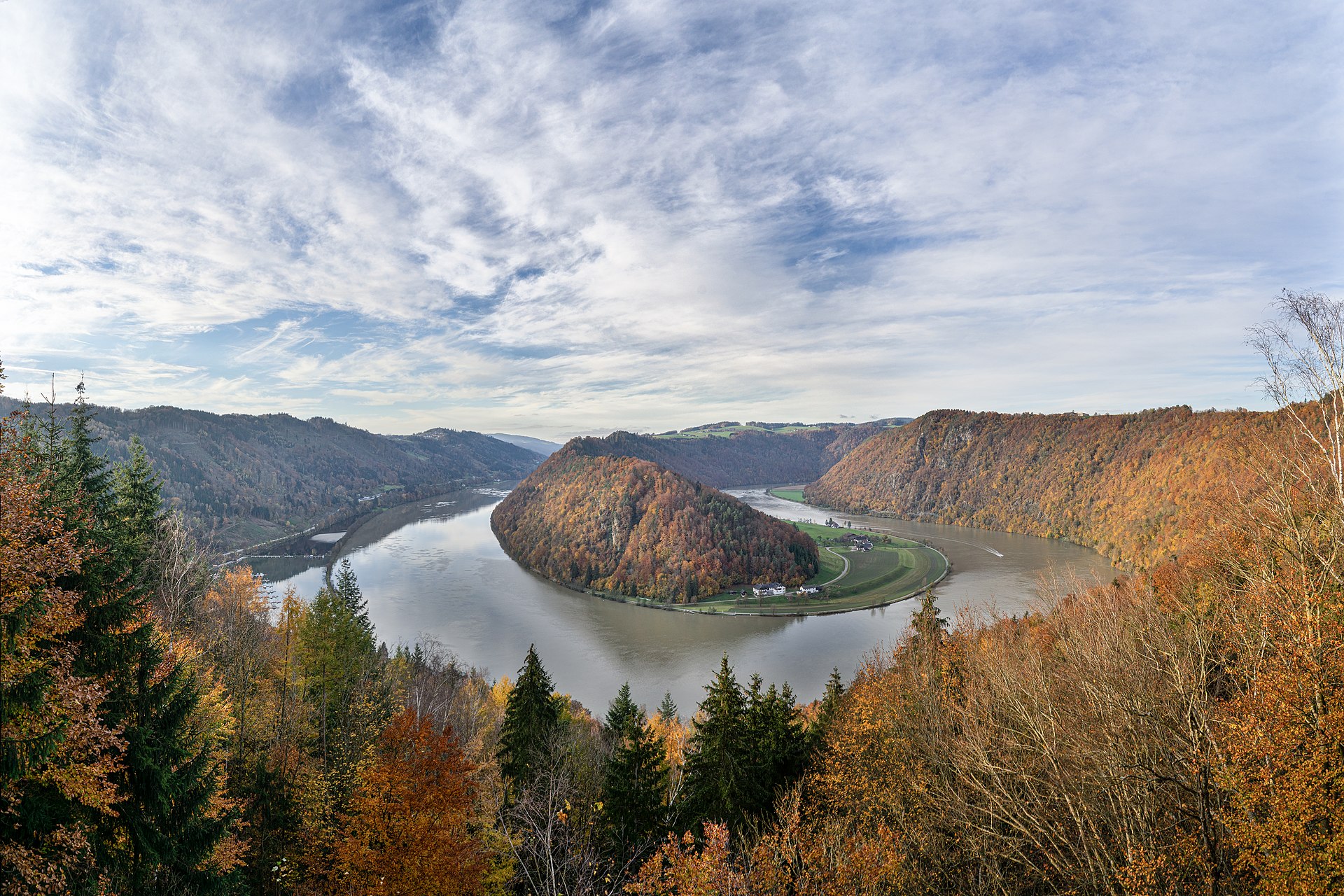
The best-loved stretch of the Danube Cycle Path follows the river from Passau on the German border through Upper and Lower Austria to Vienna, about 320 km gently downstream on cycle paths and quiet riverside roads. It passes the Schlögen loop, Linz, the wooded Strudengau, Melk Abbey and the vineyards of the Wachau, with paths on both banks and small ferries between them.
Stages
A suggested split into 5 days of about 62 km (38 mi). Each day ends at the town or village on the way nearest to an equal share of the distance, or at a hotel or hostel where there is none. These are not the official stages: check where you can stay before you book.
- Day 1 Passau to Aschach an der Donau 63 km · 63 km from the start
- Day 2 Aschach an der Donau to Au an der Donau 57 km · 120 km from the start
- Day 3 Au an der Donau to Emmersdorf an der Donau 74 km · 195 km from the start
- Day 4 Emmersdorf an der Donau to Kleinschönbichl 66 km · 260 km from the start
- Day 5 Kleinschönbichl to Vienna 48 km · 309 km from the start
Start and finish
Start: near Passau, Bezirk Schärding. 48.58028, 13.50331
Finish: near Vienna. 48.22924, 16.41361
Places to stay
Rooms in the towns and villages along the way:
- Passau, Bezirk Schärding · The start Booking.com → Expedia →
- Aschach an der Donau, Bezirk Eferding · After day 1 Booking.com → Expedia →
- Au an der Donau, Bezirk Perg · After day 2 Booking.com → Expedia →
- Emmersdorf an der Donau, Bezirk Melk · After day 3 Booking.com → Expedia →
- Kleinschönbichl, Bezirk Tulln · After day 4 Booking.com → Expedia →
- Vienna · The finish Booking.com → Expedia →
Affiliate links: if you book, Global Adventurer earns a small commission at no cost to you.
Roads and paths change, and surfaces vary with the weather. The line comes from the source named under the map and the heights from a terrain model, so treat the figures as a guide. Check for diversions before you go, ride to what you find, and give way to walkers and horses.


