The line is OpenStreetMap's mapping of the route (© OpenStreetMap contributors, ODbL), via Waymarked Trails, with heights from a 30 m terrain model. Check the current official route before a long trip: diversions and permitted paths change. See the source.
The trail
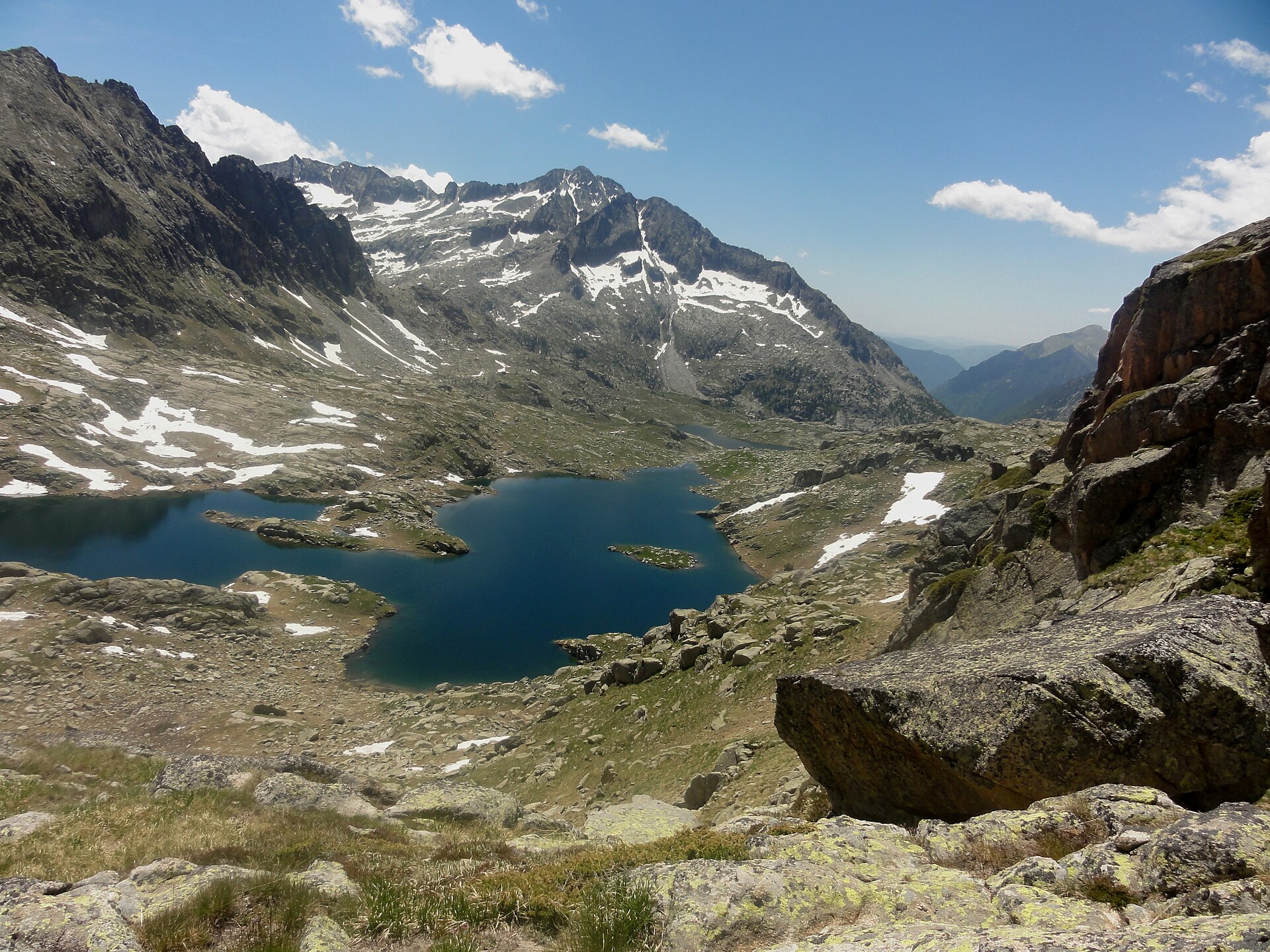
A high loop through Aigüestortes i Estany de Sant Maurici National Park in the Catalan Pyrenees, linking its staffed refuges over granite passes and boulder fields and past dozens of glacial lakes; the highest point is the Coll de Contraix at about 2,750 m. Beds are booked through the Carros de Foc central reservation, the refuges are staffed through the summer, and snow can lie on the passes into July. This line starts and ends at Refugi Ernest Mallafré by the Estany de Sant Maurici, a taxi ride from Espot.
Stages
A suggested split into 7 days of about 7.7 km (4.8 mi). Each day ends at the town or village on the way nearest to an equal share of the distance, or at a hotel or hostel where there is none. These are not the official stages: check where you can stay before you book.
- Day 1 Refugi Ernest Mallafré to Refugi d'Amitges 4.9 km · 4.9 km from the start
- Day 2 Refugi d'Amitges to Refugi de Colomèrs 10.4 km · 15.3 km from the start
- Day 3 Refugi de Colomèrs to Refugi Ventosa i Calvell 7.7 km · 23 km from the start
- Day 4 Refugi Ventosa i Calvell to Refugi d'Estany Llong 8.7 km · 32 km from the start
- Day 5 Refugi d'Estany Llong to Refugi Colomina 11.1 km · 43 km from the start
- Day 6 Refugi Colomina to Refugi Josep Maria Blanc 4.7 km · 48 km from the start
- Day 7 Refugi Josep Maria Blanc to Refugi Ernest Mallafré 6.6 km · 54 km from the start
Summits on the way
- Agulles de Dellui 2,544 m · 35 km from the start
- Pic de Monestero 2,877 m · 49 km from the start
Tops within 300 m of the line. Summits from OpenStreetMap.
Start and finish
Start: near Refugi Ernest Mallafré, Pallars Sobirà. 42.57895, 1.00890
Finish: where it starts. The trail is a circuit.
Places to stay
Rooms in the towns and villages along the way:
- Refugi Ernest Mallafré, Pallars Sobirà · The start Booking.com → Expedia →
- Refugi d'Amitges, Pallars Sobirà · After day 1 Booking.com → Expedia →
- Refugi de Colomèrs, Val d'Aran · After day 2 Booking.com → Expedia →
- Refugi Ventosa i Calvell, Alta Ribagorça · After day 3 Booking.com → Expedia →
- Refugi d'Estany Llong, Alta Ribagorça · After day 4 Booking.com → Expedia →
- Refugi Colomina, Pallars Jussà · After day 5 Booking.com → Expedia →
- Refugi Josep Maria Blanc, Pallars Sobirà · After day 6 Booking.com → Expedia →
- Refugi Ernest Mallafré, Pallars Sobirà · The finish Booking.com → Expedia →
Affiliate links: if you book, Global Adventurer earns a small commission at no cost to you.
Paths change, and the weather decides the day. The line comes from the source named under the map and the heights from a terrain model, so treat the figures as a guide. Check for diversions before you go, take a map, check the forecast, and turn back if it isn't right.


