The line is OpenStreetMap's mapping of the route (© OpenStreetMap contributors, ODbL), via Waymarked Trails, with heights from a 30 m terrain model. Check the current official route before a long trip: diversions and permitted paths change. See the source.
The route
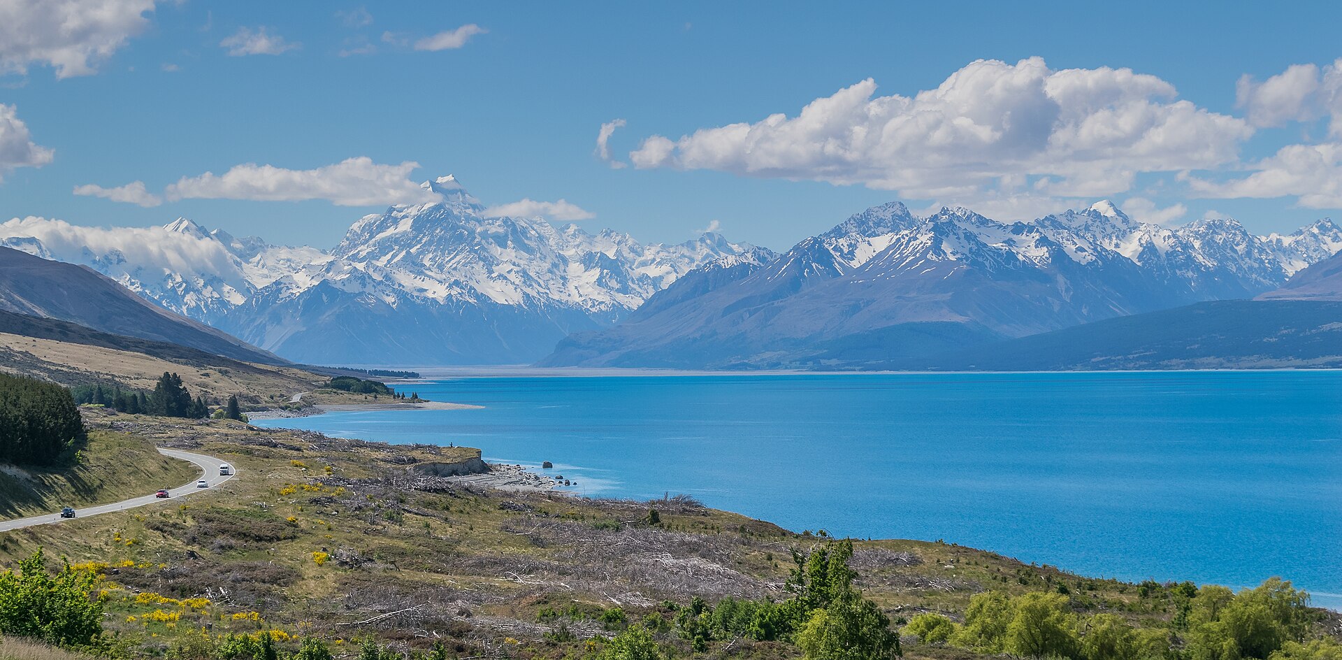
New Zealand's longest Great Ride runs about 300 km from the foot of Aoraki/Mount Cook to the Pacific at Oamaru, dropping from the Southern Alps through the Mackenzie and Waitaki country: along turquoise Lake Pukaki to Twizel, by Lake Ohau and over the trail's high point to Omarama, past the Waitaki hydro lakes to Kurow and Duntroon, and down to the coast. The first section needs a short helicopter hop across the Tasman River (Lake Tekapo is the alternative start), and most people ride it in four to six days.
Stages
A suggested split into 5 days of about 61 km (38 mi). Each day ends at the town or village on the way nearest to an equal share of the distance, or at a hotel or hostel where there is none. These are not the official stages: check where you can stay before you book.
- Day 1 Aoraki/Mount Cook to Twizel 78 km · 78 km from the start
- Day 2 Twizel to Lake Ohau Alpine Village 32 km · 110 km from the start
- Day 3 Lake Ohau Alpine Village to open country (no village near) 75 km · 184 km from the start
- Day 4 Open country to Duntroon 69 km · 254 km from the start
- Day 5 Duntroon to Oamaru 54 km · 307 km from the start
Start and finish
Start: near Aoraki/Mount Cook, Mackenzie District. -43.71901, 170.09432
Finish: near Oamaru, Waitaki District. -45.09970, 170.96824
Places to stay
Rooms in the towns and villages along the way:
- Aoraki/Mount Cook, Mackenzie District · The start Booking.com → Expedia →
- Twizel, Mackenzie District · After day 1 Booking.com → Expedia →
- Lake Ohau Alpine Village, Waitaki District · After day 2 Booking.com → Expedia →
- Duntroon, Waitaki District · After day 4 Booking.com → Expedia →
- Oamaru, Waitaki District · The finish Booking.com → Expedia →
Affiliate links: if you book, Global Adventurer earns a small commission at no cost to you.
Roads and paths change, and surfaces vary with the weather. The line comes from the source named under the map and the heights from a terrain model, so treat the figures as a guide. Check for diversions before you go, ride to what you find, and give way to walkers and horses.


