Line © OpenStreetMap contributors (ODbL), checked by Global Adventurer.
The ride
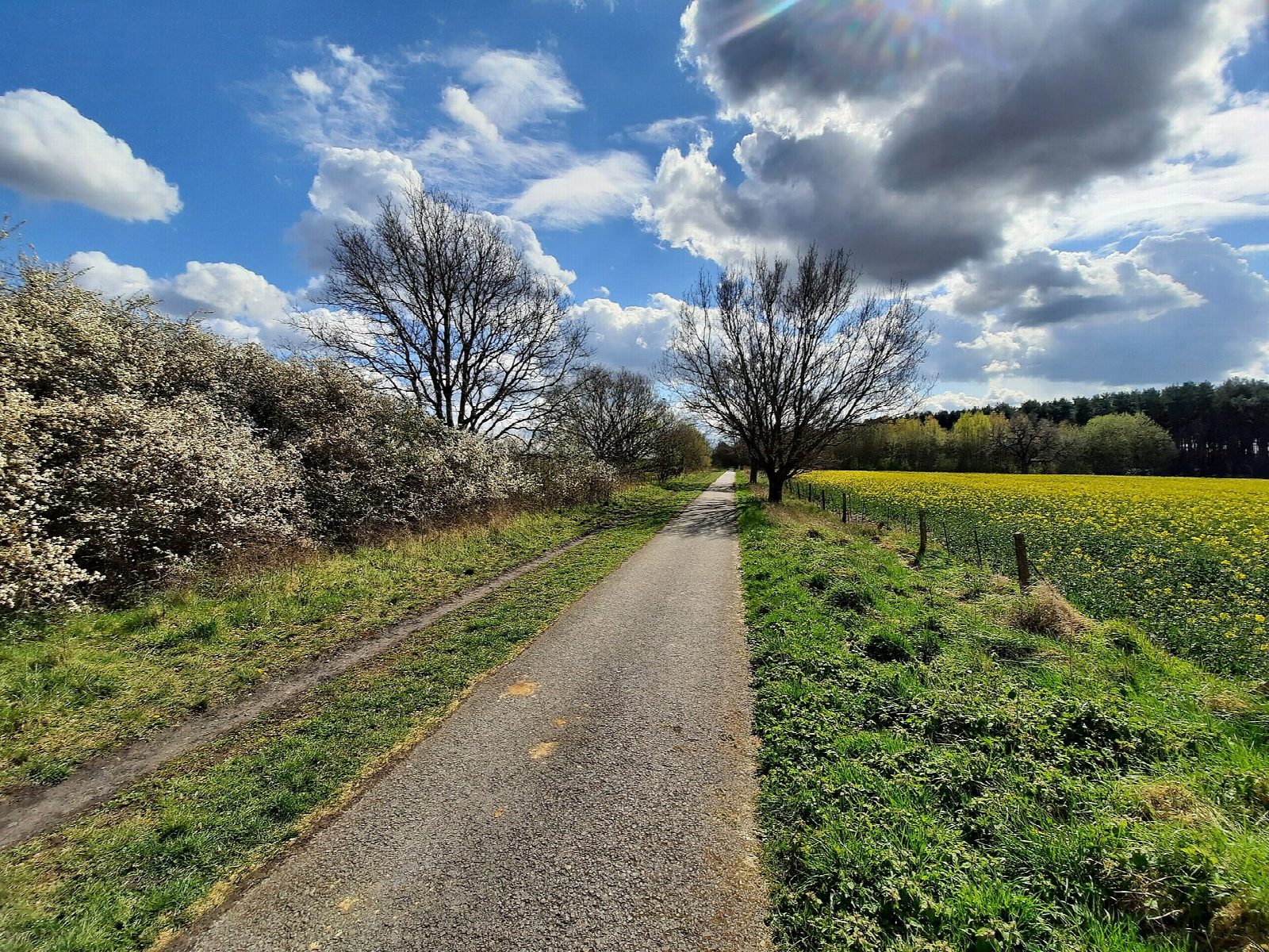
This ride leaves York station for the riverside path along the Ouse, passes Rowntree Park and the racecourse, and joins the railway path near Bishopthorpe. For the next 10 km it follows what was the East Coast Main Line until 1983, when the trains were diverted; the path opened in 1987. A scale model of the Solar System is set out along it, from the Sun at the York end to Pluto at Riccall, and the old swing bridge over the Ouse at Naburn carries a sculpture of a fisherman. From Riccall, lanes and a path beside the A19 lead on to Selby.
It is 24.9 km (15.5 miles) one way with 12 m of climbing; allow about 1¾ hours of riding. The grade is Easy. It is flat and almost all tarmac, and any bike will do.
About a quarter is on roads: streets near the start in York, the village street in Riccall, and back lanes for the last 5 km into Selby. The railway path between is traffic-free and good for children and trailers; families may prefer to ride out to Naburn or Riccall and back rather than go on to Selby.
It is one of York's most popular paths. There are cafés at Bishopthorpe and at the old Naburn station. Trains run back from Selby to York.
Route drawn by Global Adventurer along OpenStreetMap paths (© OpenStreetMap contributors, ODbL), with figures worked out from it. Check the forecast and the ground on the day: paths change.
Good to know
- The East Coast Main Line until 1983, when its trains were diverted; a path since 1987
- A scale model of the Solar System is strung along 10 km of it, from the Sun near York to Pluto at Riccall
- Riverside path out of York, flat tarmac on the old line, then lanes and a path beside the A19 from Riccall to Selby
- Trains run back from Selby to York
Getting there
Start: York Station · Pay and display. 53.95939, -1.09279
By train: York station is 0.2 km from the start.
Places to stay nearby
Rooms in and around York: Booking.com → Expedia →
Affiliate links: if you book, Global Adventurer earns a small commission at no cost to you.
Paths and roads change, and surfaces vary with the weather. The line and figures come from OpenStreetMap and our own checks; ride to what you find, give way to walkers and horses, and carry what you need to mend a puncture.